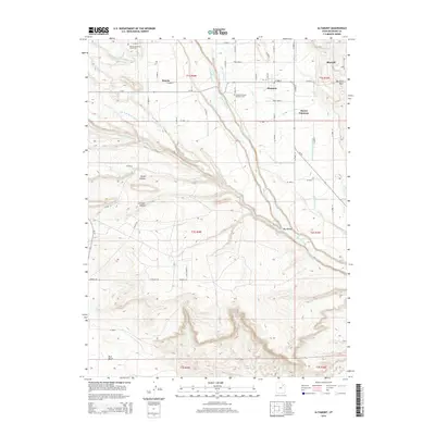
2014 Map of Altamont
USGS Topo · Published 2014About this map
Lake Fork River bisects this landscape in Duchesne County, providing the primary water source for an extensive network of irrigation infrastructure. This system includes the Lake Fork Canal, Sboneta Canal, and the Lake Fork Western Canal, which sustain the agricultural operations near Altamont and Boneta. The map documents the layout of local rural settlements such as Mount Emmons and Bluebell, alongside more isolated features like the P X Ranch. Genealogy researchers will find value in the specific locations of the Boneta-Mountain Home Cem and the Altamont-Mount Emmons Cem. The terrain is defined by dramatic changes in elevation, from the high Blue Bench in the south to named depressions like Kuntz Hollow and Clement Hollow, illustrating how the township-and-range grid adapts to the natural drainage patterns of Pigeon-Water Cr.
Find a feature on this map
40 named features on this map. Tap any name to fly to it.
Don’t see what you’re looking for? This feature index may not catch every label — zoom into the map to look around manually.
Map Details
Editions of this 2014 Altamont Map
This is the sole edition of this map. No revisions or reprints were ever made.
Other maps of this area

1885 · Uinta
USGS Topo · 1:250,000

1939 · Duchesne
USGS Topo · 1:125,000

1954 · Salt Lake City
USGS Topo · 1:250,000

1958 · Salt Lake City
USGS Topo · 1:250,000

1960 · Salt Lake City
USGS Topo · 1:250,000
1964 · Duchesne NE
USGS Topo · 1:24,000
1964 · Bridgeland
USGS Topo · 1:24,000
1965 · Bluebell
USGS Topo · 1:24,000
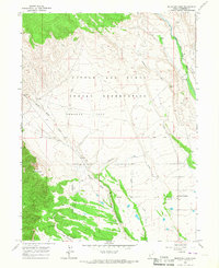
1965 · Mountain Home
USGS Topo · 1:24,000
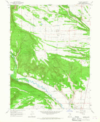
1965 · Talmage
USGS Topo · 1:24,000