Old Maps of Upalco, Utah for Metal Detecting
Plan your next treasure hunt with 12 historic maps of Upalco. Find old homesites, ghost towns, trails, and gathering spots that may be lost to time — perfect for identifying promising metal detecting locations.
- Locate forgotten sites: Uncover places like long-lost settlements, abandoned rail lines, or gathering spots.
- Plan better hunts: Use map overlays combined with LiDAR or satellite views to narrow in on historically rich areas.
- Made for detectorists: Thousands of hobbyists use these maps to discover relics, coins, and hidden history.
Use these historic maps to boost your research and find new opportunities beneath the surface of Upalco.
Upalco, UT maps
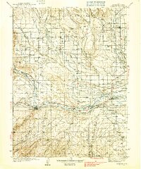
(12)- 1885 Map of Uinta
 1885 Uinta1885 Print · USGSThe high wilderness of northern Utah is documented during the early surveying era of the 1880s. Geologists and historians can trace the headwaters of the Duchesne River and locate landmarks like Gilbert Peak and Rhodes Plateau.6 unique versions available
 - 1939 Map of Duchesne
 1939 Duchesne1939 Print · USGSThe Duchesne River valley and the Uinta Basin come alive in the mid-1930s as a landscape of new irrigation and ranching. Genealogists can trace family footprints at Knights Ranch, Monarch Sch, or the remote Pariette Mine.3 unique versions available
 - 1954 Map of Salt Lake City, 1964 Print
 1954 Salt Lake City1964 Print · USGSThe Wasatch Front and Uinta Mountains are captured here in the mid-fifties, showing the industrial heart of Utah and its high mountain wilderness. Researchers can locate vanished infrastructure and landmarks like the Geneva Steel Plant, Bingham Canyon Mine, and the Utah State Prison.4 unique versions available
 - 1958 Map of Salt Lake City
 1958 Salt Lake City1958 Print · USGSThe Wasatch Front and Uinta Basin are captured during a period of significant post-war growth and industrial development. Researchers can trace the mid-century rail lines of the Bamberger RR and locate sites like the Kiegley Limestone Quarry and Camp Williams Military Reservation.
 - 1960 Map of Salt Lake City
 1960 Salt Lake City1960 Print · USGSThe Wasatch Front and High Uintas are captured mid-century as the Salt Lake Valley underwent significant postwar expansion. Genealogists and historians can trace rail lines like the Union Pacific and locate established landmarks such as Fort Douglas, Camp Williams, and the Bingham Canyon Mine.
 - 1965 Map of Bluebell, 1967 Print
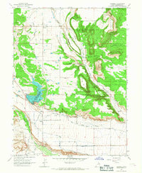 1965 Bluebell1967 Print · USGSBluebell and the surrounding Uinta Basin are captured here in the mid-1960s, showing a landscape defined by reservation lands and desert irrigation. Researchers can trace the development of local water systems like the Big Sand Wash Reservoir and locate family sites near Bluebell Cem or the settlement of Upalco.
 - 1982 Map of Duchesne, 1987 Print
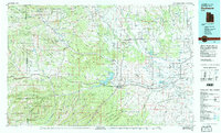 1982 Duchesne1987 Print · USGSThe high plateaus and river basins of eastern Utah are captured here in the early 1980s, showcasing the region's vital water systems and tribal lands. Researchers can trace the development of the Uintah and Ouray Indian Reservation and locate old crossroads like Tabiona and Upalco.
 - 2010 Map of Bluebell, 2010 Print
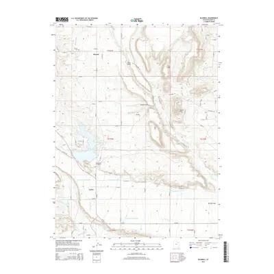
 2010 Bluebell2010 Print · USGSCovers Upalco, including Bluebell, Duchesne County, and other nearby areas
 - 2014 Map of Bluebell, 2014 Print
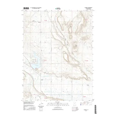
 2014 Bluebell2014 Print · USGSCovers Upalco, including Bluebell, Duchesne County, and other nearby areas
 - 2017 Map of Bluebell, 2017 Print
 2017 Bluebell2017 Print · USGSCovers Upalco, including Bluebell, Duchesne County, and other nearby areas
 - 2020 Map of Bluebell, 2020 Print
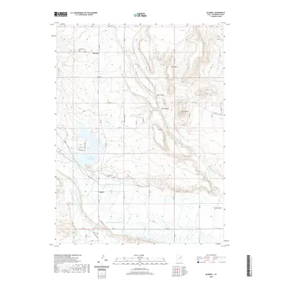 2020 Bluebell2020 Print · USGSCovers Upalco, including Bluebell, Duchesne County, and other nearby areas
 - 2023 Map of Bluebell, 2023 Print
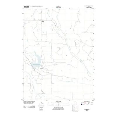
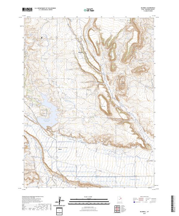 2023 Bluebell2023 Print · USGSDuchesne County is defined by its vital irrigation network in this contemporary survey of the high desert. Genealogists and researchers can trace local lineage at Bluebell Cem or follow the paths of the Lake Fork Canal and Leland Canal through the valley.
End of results
Showing maps 1-12 of 12
Top cities near Upalco
Frequently asked questions
- What are the different types of historical maps available for Upalco?
- What is the oldest map of Upalco?
- Where can I purchase historical maps of Upalco for my home or office?
- Where can I download high-res historical maps of Upalco?
- Are there historical topographic maps available for Upalco?
- Is there historical aerial imagery available for Upalco?
- Where are historical maps of Upalco sourced from?