2000s (21st Century) Maps of Mohrland, Utah
Explore 6 historic maps of Mohrland from the 2000s (21st Century). These maps offer a rare glimpse into what life looked like during the 2000s — showing old roads, neighborhoods, homes, and landmarks that have changed or disappeared over time.
Whether you're researching your family's past, planning a metal detecting trip, or studying how Mohrland's landscape evolved across the 2000s, these high-resolution maps are a powerful tool for exploring the history of this region.
- Focus on a specific era: All maps on this page are from the 2000s, giving you a focused view of this time period.
- See what’s changed: Compare century-old streets, trails, and buildings to today's modern landscape using overlays and satellite layers.
- Research with precision: Use these maps for genealogy, historical research, land use analysis, or educational projects.
- View, download, or print: Maps are fully viewable online in high resolution, and can be downloaded or printed for your own records.
Start exploring Mohrland's history through authentic maps from the 2000s. This is your window into the past.
Mohrland, UT maps
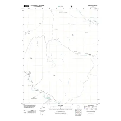
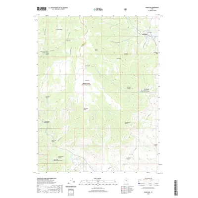
(6)- 2001 Map of Hiawatha, 2004 Print
 2001 Hiawatha2004 Print · USGSThe coal-mining landscapes of the Wasatch Plateau are captured here at the turn of the twenty-first century. Genealogists and industrial historians can trace the operations of the Hiawatha Mine, locate the local Cemetery, and study the rail-and-road layout of Mohrland.
 - 2011 Map of Hiawatha, 2011 Print
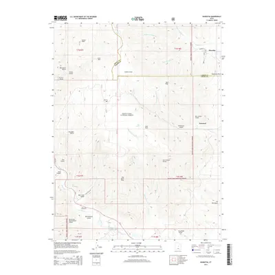
 2011 Hiawatha2011 Print · USGSCovers Mohrland, including Hiawatha, Carbon County, and other nearby areas
 - 2014 Map of Hiawatha, 2014 Print
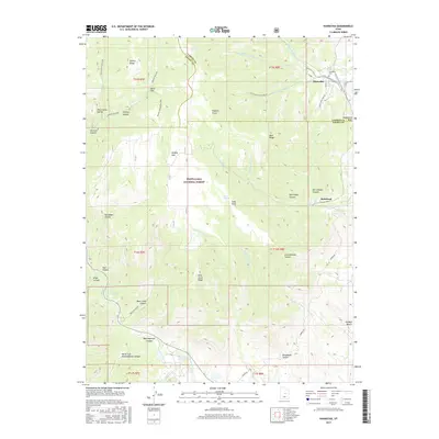
 2014 Hiawatha2014 Print · USGSCovers Mohrland, including Hiawatha, Carbon County, and other nearby areas
 - 2017 Map of Hiawatha, 2017 Print
 2017 Hiawatha2017 Print · USGSCovers Mohrland, including Hiawatha, Carbon County, and other nearby areas
 - 2020 Map of Hiawatha, 2020 Print
 2020 Hiawatha2020 Print · USGSCovers Mohrland, including Hiawatha, Carbon County, and other nearby areas
 - 2023 Map of Hiawatha, 2023 Print
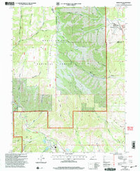
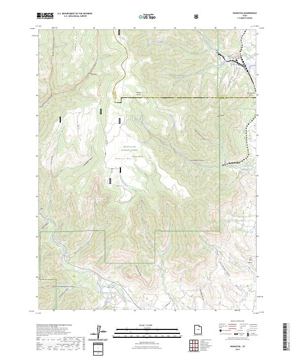 2023 Hiawatha2023 Print · USGSThe Carbon and Emery county line meets in this high-country survey of the Wasatch Plateau. Researchers can locate the Hiawatha Cemetery and trace industrial routes like Black Hawk Mine Rd near the settlements of Hiawatha and Mohrland.
End of results
Showing maps 1-6 of 6
Top cities near Mohrland
- Price historical maps
- Huntington historical maps
- Castle Dale historical maps
- Orangeville historical maps
- Cleveland historical maps
- Elmo historical maps
Frequently asked questions
- What are the different types of historical maps available for Mohrland?
- What is the oldest map of Mohrland?
- Where can I purchase historical maps of Mohrland for my home or office?
- Where can I download high-res historical maps of Mohrland?
- Are there historical topographic maps available for Mohrland?
- Is there historical aerial imagery available for Mohrland?
- Where are historical maps of Mohrland sourced from?