Old Maps of Cisco, Utah for Academic Research
Study the evolution of Cisco with 15 high-resolution historic maps. Whether you're teaching, researching, or modeling changes in land use, these maps provide essential visual documentation of urban, environmental, and geographic change.
- Analyze long-term change: Track patterns in development, transportation, and natural features.
- Ideal for environmental or urban studies: Support academic projects with primary historical map data.
- Use in the classroom or lab: Educators and researchers rely on these maps to bring historical context to life.
These maps are a powerful tool for teaching, research, and visualizing how Cisco has changed over the decades.
Cisco, UT maps
(15)- 1885 Map of La Sal
 1885 La Sal1885 Print · USGSSoutheast Utah in the mid-1880s remains a frontier of dramatic river canyons and high mountain peaks. Genealogists and historians can trace the early footprints of Moab and Plainfield or locate the high summits of Mt Peale and the path of the Green River.6 unique versions available
 - 1956 Map of Moab, 1972 Print
 1956 Moab1972 Print · USGSThe Colorado Plateau and La Sal Mountains appear here in the mid-fifties, just as the uranium boom and energy exploration were reshaping the Four Corners. Researchers can trace the Denver and Rio Grande Western through Cisco or locate the remote outpost of Uravan and Looking Glass Rock.3 unique versions available
 - 1958 Map of Cisco, 1960 Print
 1958 Cisco1960 Print · USGSThe Grand County desert in the late fifties was a hub for rail transport and early energy exploration along the Colorado River. Researchers can trace the legacy of ranching and mining through sites like the Cactus Rat Mine, Cato Ranch, and the isolated settlement of Cisco.3 unique versions available
 - 1959 Map of Moab
 1959 Moab1959 Print · USGSSoutheast Utah and Western Colorado are mapped here in the late fifties, just as the uranium boom was transforming the remote canyon lands. Genealogists and historians can trace the foundations of Moab and Nucla, or locate mining sites and landmarks like Uravan and Dead Horse Point.
 - 1960 Map of Moab
 1960 Moab1960 Print · USGSThe canyonlands and high plateaus of the Utah-Colorado border are shown here during the mid-century uranium boom. Researchers can trace the river-and-rail corridors of the Colorado River and the Denver and Rio Grande Western near Moab and Uravan.3 unique versions available
 - 1962 Map of Moab
 1962 Moab1962 Print · USGSThe canyon country of southeastern Utah and western Colorado is captured here in the early sixties, showing the reach of the Denver and Rio Grande Western through the desert. Researchers can trace the layout of mining settlements like Uravan and old railroad stops at Cisco and Sagers Station.
 - 1964 Map of Moab
 1964 Moab1964 Print · USGSThe canyonlands of eastern Utah and western Colorado are captured here in the mid-1960s, a time when uranium mining shaped the local economy. Researchers can trace the river-and-rail network through Sinbad Valley and locate mining outposts like Uravan and Vancorum.
 - 1965 Map of Moab
 1965 Moab1965 Print · USGSSoutheast Utah and Western Colorado are mapped here in the mid-sixties, showcasing a landscape of high plateaus and deep river canyons. Genealogists and historians can trace the mining-era towns of Uravan and Paradox or locate remote landmarks like Castleton and Dead Horse Point.
 - 1983 Map of Moab
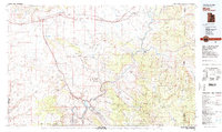 1983 Moab1983 Print · USGSThe Colorado River corridor near Moab is captured here in the early eighties, showcasing a landscape of uranium mining and iconic parklands. Trace the Denver and Rio Grande Western RR as it passes through Cisco or locate landmarks like Delicate Arch and the Telluride Mines.3 unique versions available
 - 1991 Map of Cisco
 1991 Cisco1991 Print · USGSCisco was a critical rail and energy hub in the Utah desert during the late twentieth century. Researchers can trace the industrial footprint of the Gas and Oil Field, the path of the Old Railroad Grade, and remote outposts like Cisco Landing.
 - 2010 Map of Cisco, 2010 Print
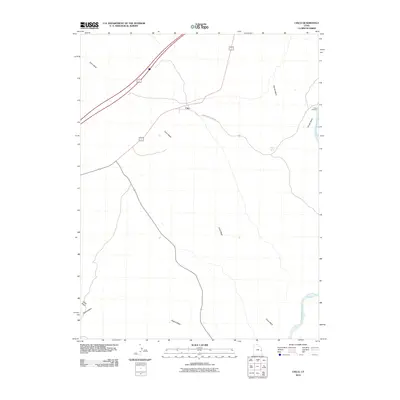 2010 Cisco2010 Print · USGSThe eastern Utah desert near the Colorado River is captured here in the early twenty-first century. Researchers can trace the layout of the Cisco settlement and follow the paths of Cisco Wash and Danish Wash as they cut through the arid landscape toward Cisco Landing.
 - 2014 Map of Cisco, 2014 Print
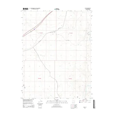 2014 Cisco2014 Print · USGSThe settlement of Cisco and the surrounding desert landscape are captured here in the early twenty-first century. Researchers can trace the legacy of regional travel along the Old Cisco Hwy and follow the route of the Colorado River past the Cisco Pumphouse.
 - 2017 Map of Cisco, 2017 Print
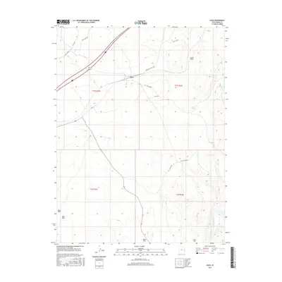 2017 Cisco2017 Print · USGSCisco and the surrounding Grand Valley are captured in this mid-century modern era survey, showing a landscape defined by vital water sources and rail history. Trace the geography of the desert through Cisco, Agate Siding, and the Cisco Pumphouse near the Colorado River.
 - 2020 Map of Cisco, 2020 Print
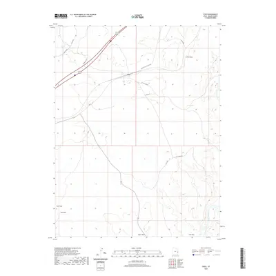 2020 Cisco2020 Print · USGSCisco and the eastern Grand Valley are shown here in the 2020s, where desert transit routes intersect along the arid flats. Genealogists and historians can trace local landmarks like Agate Siding, the Cisco Pumphouse, and Hogan Spring.
 - 2023 Map of Cisco, 2023 Print
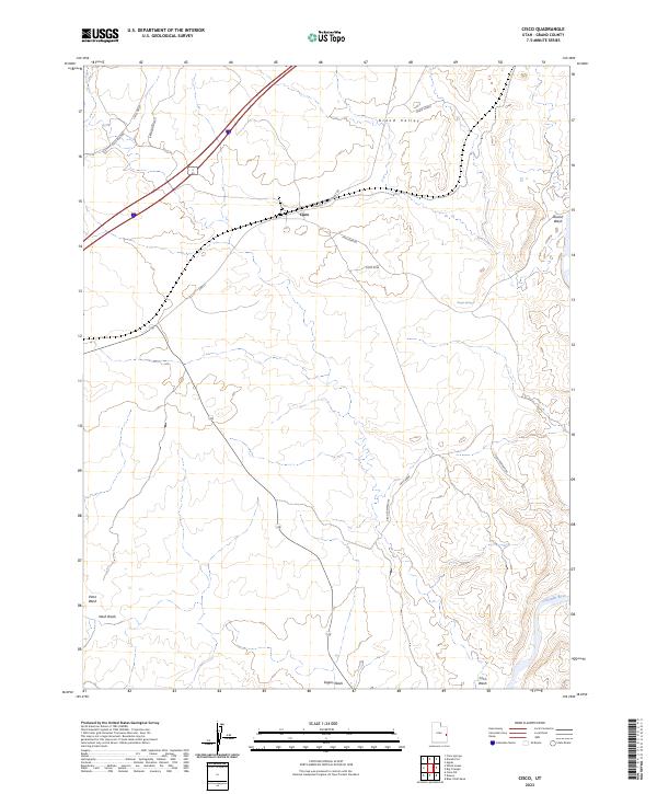 2023 Cisco2023 Print · USGSThe desert crossroads of eastern Utah are documented in this recent survey of the Cisco vicinity. Researchers can trace historical transit and water access via Agate Siding, Broadhead Well, and the banks of the Colorado River.
End of results
Showing maps 1-15 of 15
Frequently asked questions
- What are the different types of historical maps available for Cisco?
- What is the oldest map of Cisco?
- Where can I purchase historical maps of Cisco for my home or office?
- Where can I download high-res historical maps of Cisco?
- Are there historical topographic maps available for Cisco?
- Is there historical aerial imagery available for Cisco?
- Where are historical maps of Cisco sourced from?