Old Maps of State Line, Utah for Metal Detecting
Plan your next treasure hunt with 11 historic maps of State Line. Find old homesites, ghost towns, trails, and gathering spots that may be lost to time — perfect for identifying promising metal detecting locations.
- Locate forgotten sites: Uncover places like long-lost settlements, abandoned rail lines, or gathering spots.
- Plan better hunts: Use map overlays combined with LiDAR or satellite views to narrow in on historically rich areas.
- Made for detectorists: Thousands of hobbyists use these maps to discover relics, coins, and hidden history.
Use these historic maps to boost your research and find new opportunities beneath the surface of State Line.
State Line, UT maps
(11)- 1885 Map of Pioche
 1885 Pioche1885 Print · USGSLincoln County was a center of frontier mining and ranching during the mid-1880s. Genealogists and historians can trace the early layout of the silver-rich Pioche district and find remote locations like Bullionville, Panacca, and Hackberry Spring.4 unique versions available
 - 1886 Map of Pioche, 1896 Print
 1886 Pioche1896 Print · USGSEastern Nevada and the Utah borderlands are captured here during the height of the regional mining boom in the late nineteenth century. Genealogists and historians can trace early settlements and vital water sources like Bullionville, Panacca, and Hackberry Spring.
 - 1954 Map of Caliente
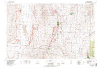
 1954 Caliente1954 Print · USGSLincoln County at mid-century reveals a landscape defined by the Union Pacific rail line and expanding Cold War military ranges. Researchers can trace the heritage of mining towns like Pioche, locate the Prince Mine, or find early airfields at Panaca Airport and Caliente.5 unique versions available
 - 1959 Map of Caliente
 1959 Caliente1959 Print · USGSSoutheast Nevada in the late fifties was a landscape of deep mines and sprawling military reservations. Genealogists and historians can trace the Union Pacific rail line through Caliente or locate operations like the Bristol Silver Mine and Groom Mine.2 unique versions available
 - 1972 Map of Deer Lodge Canyon, 1975 Print
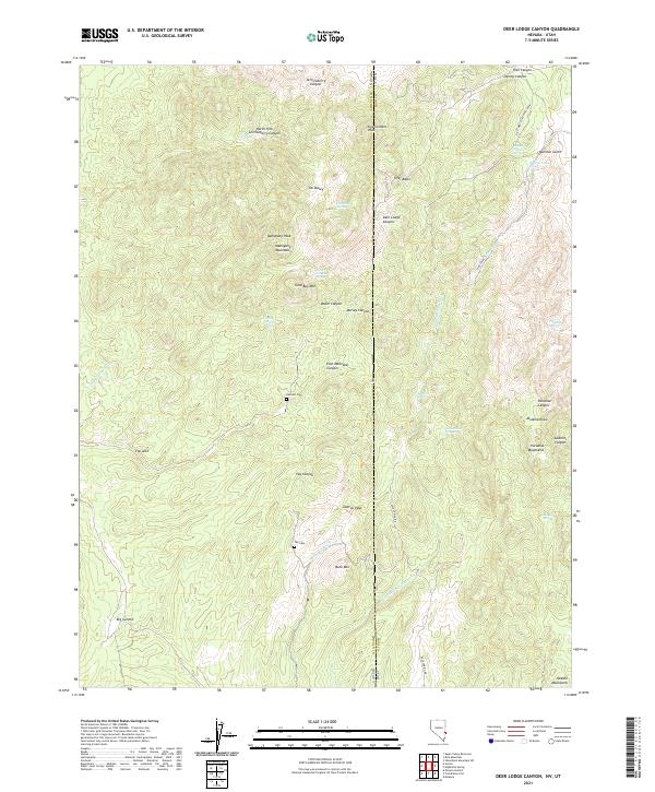
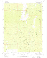 1972 Deer Lodge Canyon1975 Print · USGSThe Nevada-Utah borderlands are captured here in the early seventies, during a time when the mining legacy of the Paradise Mountains remained clearly legible. Researchers can trace the heritage of Deer Lodge or locate remote sites like Fay Cemetery and the Johnny Mine.
 - 1978 Map of Caliente, 1995 Print
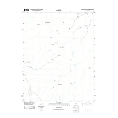
 1978 Caliente1995 Print · USGSEastern Nevada in the late 1970s was a landscape of deep canyons and active mining operations. Researchers can trace the Union Pacific rail corridor through Caliente or locate early silver and lead sites like the Prince Mine Centennial Shaft.
 - 2011 Map of Deer Lodge Canyon, 2011 Print
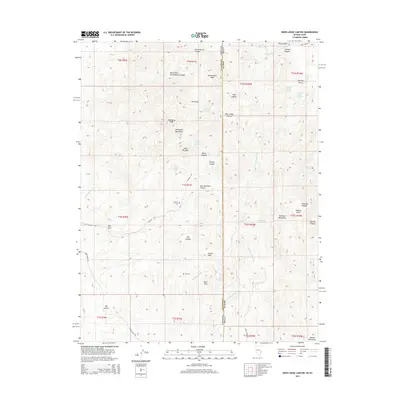
 2011 Deer Lodge Canyon2011 Print · USGSCovers State Line, including Iron County, Lincoln County, and other nearby areas
 - 2012 Map of Deer Lodge Canyon, 2012 Print
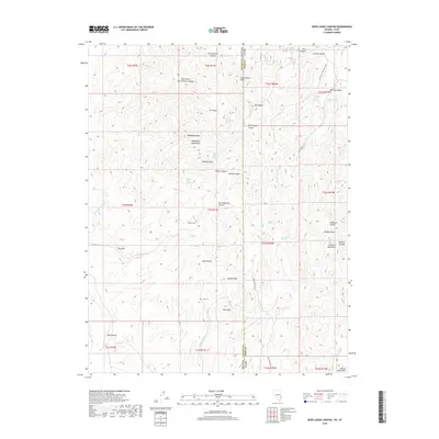
 2012 Deer Lodge Canyon2012 Print · USGSCovers State Line, including Iron County, Lincoln County, and other nearby areas
 - 2014 Map of Deer Lodge Canyon, 2014 Print
 2014 Deer Lodge Canyon2014 Print · USGSCovers State Line, including Iron County, Lincoln County, and other nearby areas
 - 2018 Map of Deer Lodge Canyon, 2018 Print
 2018 Deer Lodge Canyon2018 Print · USGSCovers State Line, including Iron County, Lincoln County, and other nearby areas
 - 2021 Map of Deer Lodge Canyon, 2021 Print
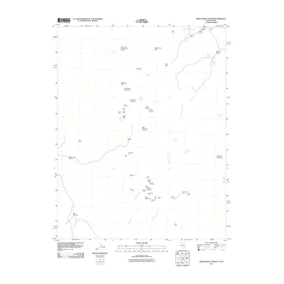
 2021 Deer Lodge Canyon2021 Print · USGSThe Nevada and Utah borderlands come to life in this contemporary survey of the high desert. Genealogists and historians can locate remote landmarks like Hackett Cem, Fay Cem, and the winding Gold Springs Wash.
End of results
Showing maps 1-11 of 11
Top cities near State Line
Frequently asked questions
- What are the different types of historical maps available for State Line?
- What is the oldest map of State Line?
- Where can I purchase historical maps of State Line for my home or office?
- Where can I download high-res historical maps of State Line?
- Are there historical topographic maps available for State Line?
- Is there historical aerial imagery available for State Line?
- Where are historical maps of State Line sourced from?