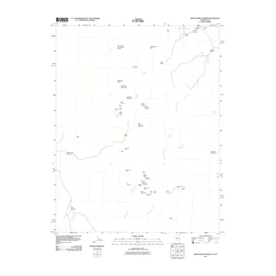
2011 Map of Deer Lodge Canyon
USGS Topo · Published 2011About this map
Mining operations and burial grounds define this high-altitude landscape along the State Line between Nevada and Utah. The western slopes of the Mahogany Mountains and Gold Bug Mountain are dotted with historic claims, reflecting a period of intense mineral prospecting. Concentrated clusters of workings such as the Silver Star Mine, Helen Mine, and White Horse Mine indicate where early miners sought silver and gold.
Find a feature on this map
56 named features on this map. Tap any name to fly to it.
Don’t see what you’re looking for? This feature index may not catch every label — zoom into the map to look around manually.
Map Details
Editions of this 2011 Deer Lodge Canyon Map
This is the sole edition of this map. No revisions or reprints were ever made.
Other maps of this area

1885 · St. George
USGS Topo · 1:250,000

1885 · Pioche
USGS Topo · 1:250,000

1886 · Pioche
USGS Topo · 1:250,000

1891 · St. George
USGS Topo · 1:250,000

1953 · Richfield
USGS Topo · 1:250,000

1953 · Cedar City
USGS Topo · 1:250,000

1954 · Caliente
USGS Topo · 1:250,000

1956 · Lund
USGS Topo · 1:250,000

1958 · Richfield
USGS Topo · 1:250,000

1958 · Cedar City
USGS Topo · 1:250,000