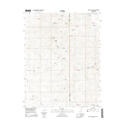
2014 Map of Deer Lodge Canyon
USGS Topo · Published 2014About this map
Hackett Cem and Fay Cem sit along the high desert terrain where the borders of Lincoln County, Nevada, and Iron County, Utah meet. This remote borderlands area is defined by the Mahogany Mountains and prominent summits like Gold Bug Mtn, Government Peak, and Gatton Peak. The landscape is a network of arid drainages and seasonal water sources, including Gold Springs Wash, Midnight Wash, and Immigration Wash, which reveal the movement and settlement patterns of the region. The small settlement of Ox Valley is situated near Ox Valley Spring, while other vital water points such as Sawmill Spring and Paradise Spring dot the canyons. The presence of The Arch and features like Mormon Gulch suggest a history of both natural landmarks and early pioneer exploration through the Paradise Mountains.
Find a feature on this map
56 named features on this map. Tap any name to fly to it.
Don’t see what you’re looking for? This feature index may not catch every label — zoom into the map to look around manually.
Map Details
Editions of this 2014 Deer Lodge Canyon Map
This is the sole edition of this map. No revisions or reprints were ever made.
Other maps of this area

1885 · St. George
USGS Topo · 1:250,000

1885 · Pioche
USGS Topo · 1:250,000

1886 · Pioche
USGS Topo · 1:250,000

1891 · St. George
USGS Topo · 1:250,000

1953 · Richfield
USGS Topo · 1:250,000

1953 · Cedar City
USGS Topo · 1:250,000

1954 · Caliente
USGS Topo · 1:250,000

1956 · Lund
USGS Topo · 1:250,000

1958 · Richfield
USGS Topo · 1:250,000

1958 · Cedar City
USGS Topo · 1:250,000