Old Maps of Eureka, Utah for Metal Detecting
Plan your next treasure hunt with 20 historic maps of Eureka. Find old homesites, ghost towns, trails, and gathering spots that may be lost to time — perfect for identifying promising metal detecting locations.
- Locate forgotten sites: Uncover places like long-lost settlements, abandoned rail lines, or gathering spots.
- Plan better hunts: Use map overlays combined with LiDAR or satellite views to narrow in on historically rich areas.
- Made for detectorists: Thousands of hobbyists use these maps to discover relics, coins, and hidden history.
Use these historic maps to boost your research and find new opportunities beneath the surface of Eureka.
Eureka, UT maps
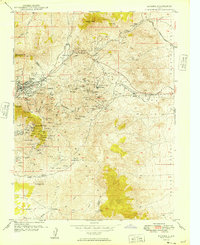
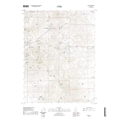
(20)- 1885 Map of Sevier Desert
 1885 Sevier Desert1885 Print · USGSMining districts and desert outposts across central Utah come to life in the mid-1880s as the railroad pushes through the canyon. Researchers can trace early industrial footprints at Silver City, locate the riverside settlement of Deseret, and follow the original Central Pacific Railroad line.5 unique versions available
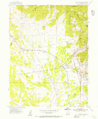
 - 1949 Map of Eureka
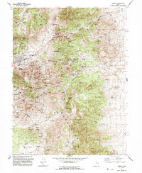
 1949 Eureka1949 Print · USGSThe Tintic mining district was at the height of its industrial reach in the late 1940s, marking a landscape defined by deep shafts and rail lines. You can trace the exact locations of historic operations like Mammoth, the Iron King No 1 Shaft, and the camps at Knightville.
 - 1953 Map of Delta, 1969 Print
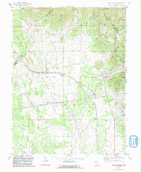
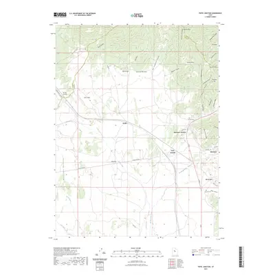
 1953 Delta1969 Print · USGSWest-central Utah in the early fifties shows a landscape of vast desert playas and rising mountain ranges. Genealogists and historians can trace rail sidings like Champlin Siding, local industry at the Tungsten Mill, and historic outposts such as Fort Deseret.3 unique versions available
 - 1954 Map of Tintic Junction, 1956 Print
 1954 Tintic Junction1956 Print · USGSJuab County’s mining heartland comes into focus during the mid-1950s, showing a landscape shaped by mineral extraction and the railroad. Researchers can trace the lineage of the Tintic district through the many listed mines, Eureka Cem, and family outposts like Snell Ranch.3 unique versions available
 - 1954 Map of Eureka, 1957 Print
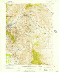 1954 Eureka1957 Print · USGSThe Tintic mining district remains a hive of industrial activity in the mid-fifties, dominated by rail lines and deep-shaft operations. Genealogists and researchers can locate family sites near Eureka, the Cem, and the historic Diamond (Site) or trace the path of the Union Pacific through these mineral-rich peaks.2 unique versions available
 - 1958 Map of Delta
 1958 Delta1958 Print · USGSThe West Desert of Utah comes into sharp focus during the late 1950s, showing the intersection of military ranges, irrigation projects, and historical transit. You can trace the proximity of the Topaz Camp to Delta, or locate the Pony Express Monument and the ruins of Fort Deseret.
 - 1962 Map of Delta
 1962 Delta1962 Print · USGSWest Central Utah in the early sixties reveals a landscape of desert agriculture and military testing grounds. Researchers can trace the Union Pacific line through Delta or locate historic sites like the Pony Express Monument and Silver City.
 - 1979 Map of Lynndyl
 1979 Lynndyl1979 Print · USGSThe Tintic mining district and the West Desert come alive in this late 1970s survey of central Utah. Genealogists and historians can trace the rail-and-mine economy through settlements like Eureka, Silver City, and the Union Pacific siding at Soma.2 unique versions available
 - 1992 Map of Eureka
 1992 Eureka1992 Print · USGSThe Tintic Mining District is shown here in the early nineties, revealing a landscape transformed by decades of hard-rock mining. Genealogists and historians can trace former town sites like Knightville and Dividend alongside major shafts including the Mammoth Shaft and Chief No 1.2 unique versions available
 - 1992 Map of Tintic Junction
 1992 Tintic Junction1992 Print · USGSThe Tintic Mining District is shown in the late twentieth century as it transitioned from an industrial powerhouse to a quieter rural landscape. Researchers can trace the heritage of local families and the ore economy through Silver City, Mammoth, and the Victoria Gold Mine.
 - 2010 Map of Tintic Junction, 2010 Print
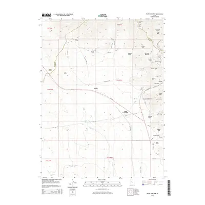
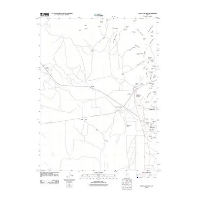 2010 Tintic Junction2010 Print · USGSCovers Eureka, including Silver City, Mammoth, and other nearby areas
 - 2010 Map of Eureka, 2010 Print
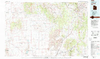
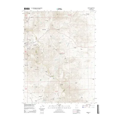
 2010 Eureka2010 Print · USGSCovers Eureka, including Diamond, Utah County, and other nearby areas
 - 2014 Map of Eureka, 2014 Print
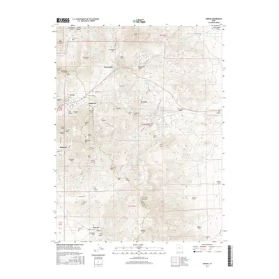
 2014 Eureka2014 Print · USGSCovers Eureka, including Diamond, Utah County, and other nearby areas
 - 2014 Map of Tintic Junction, 2014 Print
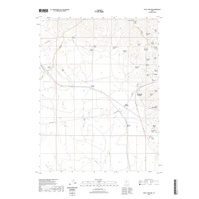
 2014 Tintic Junction2014 Print · USGSCovers Eureka, including Silver City, Mammoth, and other nearby areas
 - 2017 Map of Tintic Junction, 2017 Print
 2017 Tintic Junction2017 Print · USGSCovers Eureka, including Silver City, Mammoth, and other nearby areas
 - 2017 Map of Eureka, 2017 Print
 2017 Eureka2017 Print · USGSCovers Eureka, including Diamond, Utah County, and other nearby areas
 - 2020 Map of Tintic Junction, 2020 Print
 2020 Tintic Junction2020 Print · USGSCovers Eureka, including Silver City, Mammoth, and other nearby areas
 - 2020 Map of Eureka, 2020 Print
 2020 Eureka2020 Print · USGSCovers Eureka, including Diamond, Utah County, and other nearby areas
 - 2023 Map of Tintic Junction, 2023 Print
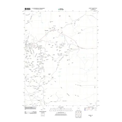
 2023 Tintic Junction2023 Print · USGSThe mining camps of the East Tintic Mountains are shown here in modern detail, preserving the layout of historic districts. Genealogists can trace family footprints through Silver City, Mammoth, and specific sites like the Silver City Cem and Fitch Cem.
 - 2023 Map of Eureka, 2023 Print
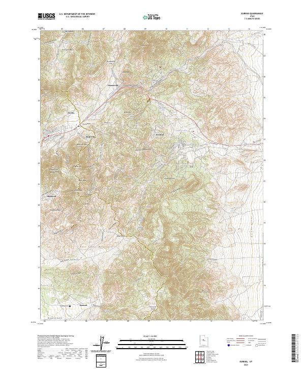 2023 Eureka2023 Print · USGSThe East Tintic Mountains and its famous mining settlements are detailed here in Juab and Utah counties. Genealogists can locate the Diamond Cem and trace old roads like Knightville Rd through Eureka and Dividend.
End of results
Showing maps 1-20 of 20
Top cities near Eureka
Frequently asked questions
- What are the different types of historical maps available for Eureka?
- What is the oldest map of Eureka?
- Where can I purchase historical maps of Eureka for my home or office?
- Where can I download high-res historical maps of Eureka?
- Are there historical topographic maps available for Eureka?
- Is there historical aerial imagery available for Eureka?
- Where are historical maps of Eureka sourced from?