Old Maps of Trout Creek, Utah for Hiking & Exploration
Hike through history with 13 historic maps of Trout Creek. Explore old trails, ghost towns, and forgotten backroads — perfect for outdoor adventurers and local explorers.
- Rediscover forgotten places: Map out old mining camps, roads, and footpaths that no longer exist on modern maps.
- Layer with modern tools: Combine with LiDAR or satellite views to plan hikes through historical terrain.
- Made for exploration: Popular among hikers, overlanders, and local history lovers.
Use these maps to find adventure and explore the hidden past of Trout Creek.
Trout Creek, UT maps
(13)- 1908 Map of Fish Springs
 1908 Fish Springs1908 Print · USGSWestern Utah at the turn of the century is a land of remote mining camps and desert outposts. Trace family history and early industry at Utah Mine, Joy P.O., and the isolated Butson's Ranch near the Confusion Range.
 - 1910 Map of Fish Springs
 1910 Fish Springs1910 Print · USGSWestern Utah's high desert and isolated mining districts are mapped here in the early twentieth century, showing a landscape of remote ranching and rugged mineral claims. Local historians can trace family-named outposts like Meecham's Ranch and Thomas' Ranch or locate the Queen of Sheba Mine and Fish Springs.6 unique versions available
 - 1953 Map of Delta, 1969 Print
 1953 Delta1969 Print · USGSWest-central Utah in the early fifties shows a landscape of vast desert playas and rising mountain ranges. Genealogists and historians can trace rail sidings like Champlin Siding, local industry at the Tungsten Mill, and historic outposts such as Fort Deseret.3 unique versions available
 - 1958 Map of Delta
 1958 Delta1958 Print · USGSThe West Desert of Utah comes into sharp focus during the late 1950s, showing the intersection of military ranges, irrigation projects, and historical transit. You can trace the proximity of the Topaz Camp to Delta, or locate the Pony Express Monument and the ruins of Fort Deseret.
 - 1961 Map of Trout Creek, 1963 Print
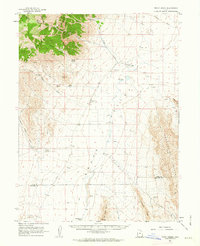 1961 Trout Creek1963 Print · USGSJuab County’s remote desert basins and mountain ranges are documented here in the early 1960s, showing a landscape shaped by scarce water and isolation. Researchers can trace the layout of Partoun and Trout Creek or locate vital desert water sources like Coyote Spring and Salt Marsh Lake.
 - 1962 Map of Delta
 1962 Delta1962 Print · USGSWest Central Utah in the early sixties reveals a landscape of desert agriculture and military testing grounds. Researchers can trace the Union Pacific line through Delta or locate historic sites like the Pony Express Monument and Silver City.
 - 1979 Map of Fish Springs
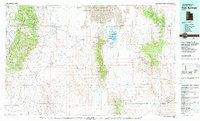 1979 Fish Springs1979 Print · USGSWestern Utah in the late seventies reveals a landscape of high peaks and desert basins, from the Deep Creek Range to the Great Salt Lake Desert. Researchers can locate remote settlements like Partoun and Callao, or trace old mining operations at the Emma Mine and Bell Hill Mine.4 unique versions available
 - 1991 Map of Trout Creek
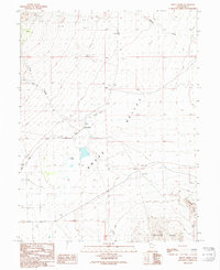 1991 Trout Creek1991 Print · USGSSnake Valley and the northern reaches of the Confusion Range appear here as they were surveyed in the late twentieth century. Genealogists and local historians can locate the small settlement of Trout Creek, follow the path of Gandy Road, and identify old Mine Shafts.
 - 2011 Map of Trout Creek, 2011 Print
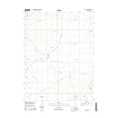
 2011 Trout Creek2011 Print · USGSCovers Trout Creek, including Juab County, United States, and other nearby areas
 - 2014 Map of Trout Creek, 2014 Print
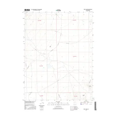
 2014 Trout Creek2014 Print · USGSCovers Trout Creek, including Juab County, United States, and other nearby areas
 - 2017 Map of Trout Creek, 2017 Print
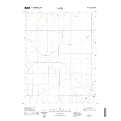
 2017 Trout Creek2017 Print · USGSCovers Trout Creek, including Juab County, United States, and other nearby areas
 - 2020 Map of Trout Creek, 2020 Print
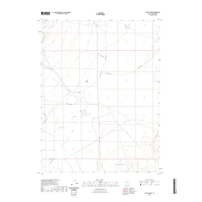
 2020 Trout Creek2020 Print · USGSCovers Trout Creek, including Juab County, United States, and other nearby areas
 - 2023 Map of Trout Creek, 2023 Print
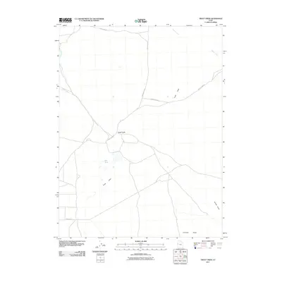
 2023 Trout Creek2023 Print · USGSWestern Utah's high desert remains a landscape of open range and historic trails as seen in this recent survey. Researchers can trace the path of the Pony Express Rd across Snake Valley and locate water sources like Mile Pond.
End of results
Showing maps 1-13 of 13
Frequently asked questions
- What are the different types of historical maps available for Trout Creek?
- What is the oldest map of Trout Creek?
- Where can I purchase historical maps of Trout Creek for my home or office?
- Where can I download high-res historical maps of Trout Creek?
- Are there historical topographic maps available for Trout Creek?
- Is there historical aerial imagery available for Trout Creek?
- Where are historical maps of Trout Creek sourced from?