Old Maps of Eskdale, Utah for Genealogy
Trace your family roots with 13 historic maps of Eskdale. These high-res maps reveal old neighborhoods, homesites, landmarks, and streets — helping you uncover where your ancestors lived and how the area evolved over time.
- Explore historic neighborhoods: Identify where your relatives may have lived in the 1800s or 1900s.
- Compare maps over time: Trace the changes in streets, buildings, and landmarks for multi-generational research.
- Perfect for genealogy & ancestry research: Used by family historians and researchers to map out lineage and migration.
These maps are an incredible resource for exploring your personal connection to Eskdale's past.
Eskdale, UT maps
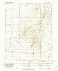
(13)- 1908 Map of Fish Springs
 1908 Fish Springs1908 Print · USGSWestern Utah at the turn of the century is a land of remote mining camps and desert outposts. Trace family history and early industry at Utah Mine, Joy P.O., and the isolated Butson's Ranch near the Confusion Range.
 - 1910 Map of Fish Springs
 1910 Fish Springs1910 Print · USGSWestern Utah's high desert and isolated mining districts are mapped here in the early twentieth century, showing a landscape of remote ranching and rugged mineral claims. Local historians can trace family-named outposts like Meecham's Ranch and Thomas' Ranch or locate the Queen of Sheba Mine and Fish Springs.6 unique versions available
 - 1953 Map of Delta, 1969 Print
 1953 Delta1969 Print · USGSWest-central Utah in the early fifties shows a landscape of vast desert playas and rising mountain ranges. Genealogists and historians can trace rail sidings like Champlin Siding, local industry at the Tungsten Mill, and historic outposts such as Fort Deseret.3 unique versions available
 - 1958 Map of Delta
 1958 Delta1958 Print · USGSThe West Desert of Utah comes into sharp focus during the late 1950s, showing the intersection of military ranges, irrigation projects, and historical transit. You can trace the proximity of the Topaz Camp to Delta, or locate the Pony Express Monument and the ruins of Fort Deseret.
 - 1960 Map of Conger Range, 1962 Print
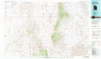
 1960 Conger Range1962 Print · USGSWest of the Sevier Desert in the early 1960s, this area of Millard County reveals a world of remote ranching outposts and high-altitude mountain passes. Researchers can trace the early footprints of Eskdale or find family-named landmarks like Robison Ranch and Okelberry Pass.
 - 1962 Map of Delta
 1962 Delta1962 Print · USGSWest Central Utah in the early sixties reveals a landscape of desert agriculture and military testing grounds. Researchers can trace the Union Pacific line through Delta or locate historic sites like the Pony Express Monument and Silver City.
 - 1981 Map of Tule Valley
 1981 Tule Valley1981 Print · USGSMillard County in the early eighties shows a remote Great Basin landscape of isolated springs and high limestone ridges. Trace early ranching and mineral sites from the Wheeler Amphitheater Mines to the settlements of Gandy and Eskdale.3 unique versions available
 - 1991 Map of Eskdale
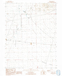 1991 Eskdale1991 Print · USGSSnake Valley life in the early nineties centered on the small community of Eskdale and its essential water infrastructure. Genealogists and historians can trace the landscape of Millard County through features like Buckskin Well (Flowing), the Baker roadway, and the foothills of the Conger Range.
 - 2011 Map of Eskdale, 2011 Print
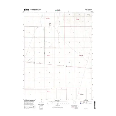
 2011 Eskdale2011 Print · USGSCovers Eskdale, including Millard County, United States, and other nearby areas
 - 2014 Map of Eskdale, 2014 Print
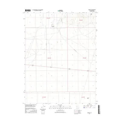
 2014 Eskdale2014 Print · USGSCovers Eskdale, including Millard County, United States, and other nearby areas
 - 2017 Map of Eskdale, 2017 Print
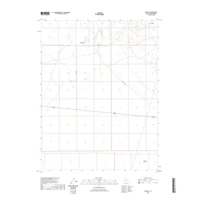
 2017 Eskdale2017 Print · USGSCovers Eskdale, including Millard County, United States, and other nearby areas
 - 2020 Map of Eskdale, 2020 Print
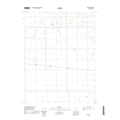
 2020 Eskdale2020 Print · USGSCovers Eskdale, including Millard County, United States, and other nearby areas
 - 2023 Map of Eskdale, 2023 Print
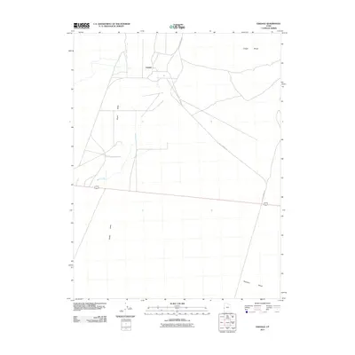
 2023 Eskdale2023 Print · USGSMillard County's high desert landscape appears in its modern configuration near the Nevada border. Genealogists and local researchers can trace the settlement at Eskdale, the nearby Eskdale Cem, and the drainage of Baker Creek at the foot of the Conger Range.
End of results
Showing maps 1-13 of 13
Frequently asked questions
- What are the different types of historical maps available for Eskdale?
- What is the oldest map of Eskdale?
- Where can I purchase historical maps of Eskdale for my home or office?
- Where can I download high-res historical maps of Eskdale?
- Are there historical topographic maps available for Eskdale?
- Is there historical aerial imagery available for Eskdale?
- Where are historical maps of Eskdale sourced from?