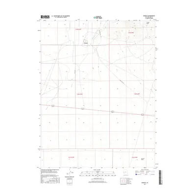
2017 Map of Eskdale
USGS Topo · Published 2017About this map
Eskdale serves as the central settlement in this high-desert landscape on the edge of the Ferguson Desert. The community's placement is defined by its proximity to Baker Cr, which provides a rare water source in an otherwise arid environment bounded by the heights of the Conger Range to the northeast. Transportation through this remote section of Millard County is facilitated by the Eskdale Hwy and the winding Knoll Springs Rd, which cut across a network of township and range boundaries including t19s r19w and t20s r18w. This 2017 survey illustrates the sparse but deliberate layout of agricultural and residential life in the Great Basin, where human activity is closely tied to the few available drainage paths.
Find a feature on this map
13 named features on this map. Tap any name to fly to it.
Don’t see what you’re looking for? This feature index may not catch every label — zoom into the map to look around manually.
Map Details
Editions of this 2017 Eskdale Map
This is the sole edition of this map. No revisions or reprints were ever made.
Other maps of this area

1908 · Fish Springs
USGS Topo · 1:250,000

1910 · Fish Springs
USGS Topo · 1:250,000

1949 · Garrison
USGS Topo · 1:62,500

1951 · Garrison
USGS Topo · 1:62,500

1953 · Richfield
USGS Topo · 1:250,000

1953 · Delta
USGS Topo · 1:250,000

1956 · Lund
USGS Topo · 1:250,000

1956 · Ely
USGS Topo · 1:250,000

1958 · Richfield
USGS Topo · 1:250,000

1958 · Delta
USGS Topo · 1:250,000