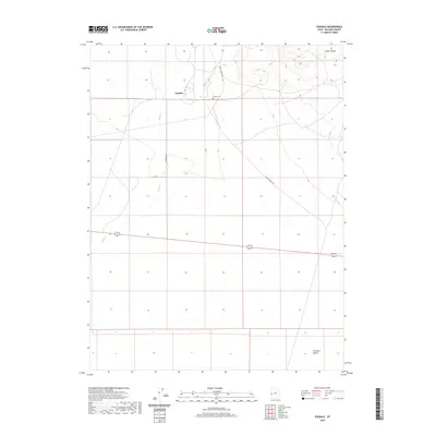
2020 Map of Eskdale
USGS Topo · Published 2020About this map
Eskdale sits as the primary settlement in this stretch of the Ferguson Desert along the Utah-Nevada border. This modern survey illustrates the persistent isolation of the West Desert, where the landscape is defined by vast playas and the rising foothills of the Conger Range. Life here centers on the agricultural and community core of the village, which is anchored by the Eskdale Cem and accessed via the Eskdale Hwy. The map details the vital role of limited water sources like Baker Cr, which flows toward the desert floor, and the network of unpaved tracks such as Knoll Springs Rd that navigate the sagebrush-covered terrain between remote ranching outposts.
Find a feature on this map
7 named features on this map. Tap any name to fly to it.
Don’t see what you’re looking for? This feature index may not catch every label — zoom into the map to look around manually.
Map Details
Editions of this 2020 Eskdale Map
This is the sole edition of this map. No revisions or reprints were ever made.
Other maps of this area

1908 · Fish Springs
USGS Topo · 1:250,000

1910 · Fish Springs
USGS Topo · 1:250,000

1949 · Garrison
USGS Topo · 1:62,500

1951 · Garrison
USGS Topo · 1:62,500

1953 · Richfield
USGS Topo · 1:250,000

1953 · Delta
USGS Topo · 1:250,000

1956 · Lund
USGS Topo · 1:250,000

1956 · Ely
USGS Topo · 1:250,000

1958 · Richfield
USGS Topo · 1:250,000

1958 · Delta
USGS Topo · 1:250,000