2000s (21st Century) Maps of Kanosh Indian Village, Utah
Explore 6 historic maps of Kanosh Indian Village from the 2000s (21st Century). These maps offer a rare glimpse into what life looked like during the 2000s — showing old roads, neighborhoods, homes, and landmarks that have changed or disappeared over time.
Whether you're researching your family's past, planning a metal detecting trip, or studying how Kanosh Indian Village's landscape evolved across the 2000s, these high-resolution maps are a powerful tool for exploring the history of this region.
- Focus on a specific era: All maps on this page are from the 2000s, giving you a focused view of this time period.
- See what’s changed: Compare century-old streets, trails, and buildings to today's modern landscape using overlays and satellite layers.
- Research with precision: Use these maps for genealogy, historical research, land use analysis, or educational projects.
- View, download, or print: Maps are fully viewable online in high resolution, and can be downloaded or printed for your own records.
Start exploring Kanosh Indian Village's history through authentic maps from the 2000s. This is your window into the past.
Kanosh Indian Village, UT maps
(6)- 2001 Map of Kanosh, 2003 Print
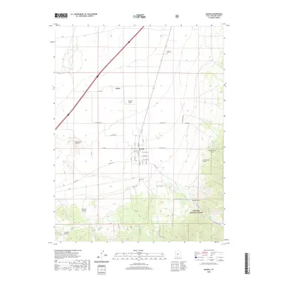
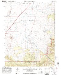 2001 Kanosh2003 Print · USGSThe Pahvant Valley landscape around Kanosh appears at the turn of the millennium as a crossroads of mountain runoff and high-desert agriculture. Researchers can trace the local water network from the Black Rock Volcano past the Kanosh Indian Village to the cemetery and athletic field in town.
 - 2011 Map of Kanosh, 2011 Print
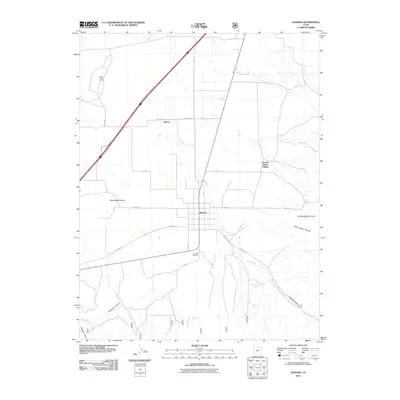 2011 Kanosh2011 Print · USGSCovers Kanosh Indian Village, including Kanosh, Hatton, and other nearby areas
 - 2014 Map of Kanosh, 2014 Print
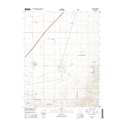 2014 Kanosh2014 Print · USGSCovers Kanosh Indian Village, including Kanosh, Hatton, and other nearby areas
 - 2017 Map of Kanosh, 2017 Print
 2017 Kanosh2017 Print · USGSCovers Kanosh Indian Village, including Kanosh, Hatton, and other nearby areas
 - 2020 Map of Kanosh, 2020 Print
 2020 Kanosh2020 Print · USGSCovers Kanosh Indian Village, including Kanosh, Hatton, and other nearby areas
 - 2023 Map of Kanosh, 2023 Print
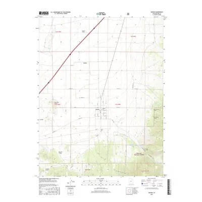
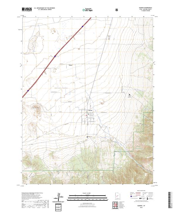 2023 Kanosh2023 Print · USGSSettled at the foot of the Pahvant Range, this contemporary survey details the desert valley and mountain canyons of central Millard County. Genealogists and historians can locate several family and tribal burial grounds, including Hockman Cem, Anderson Family Cem, and the Kanosh Indian Village Cem.
End of results
Showing maps 1-6 of 6
Top cities near Kanosh Indian Village
Frequently asked questions
- What are the different types of historical maps available for Kanosh Indian Village?
- What is the oldest map of Kanosh Indian Village?
- Where can I purchase historical maps of Kanosh Indian Village for my home or office?
- Where can I download high-res historical maps of Kanosh Indian Village?
- Are there historical topographic maps available for Kanosh Indian Village?
- Is there historical aerial imagery available for Kanosh Indian Village?
- Where are historical maps of Kanosh Indian Village sourced from?