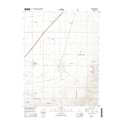
2014 Map of Kanosh
USGS Topo · Published 2014About this map
The settlement of Kanosh and the adjacent Kanosh Indian Village anchor this portion of the Pahvant Valley in Millard County. The landscape is defined by the sharp transition from the valley floor to the high elevations of the Fishlake National Forest to the east, where numerous drainages like Kanosh Canyon and Wine Hollow Canyon emerge from the steep terrain. To the north, the small community of Hatton sits near the base of the mountains, while the geological presence of the Black Rock Volcano stands out to the west.
Find a feature on this map
43 named features on this map. Tap any name to fly to it.
Don’t see what you’re looking for? This feature index may not catch every label — zoom into the map to look around manually.
Map Details
Editions of this 2014 Kanosh Map
This is the sole edition of this map. No revisions or reprints were ever made.
Other maps of this area

1885 · Beaver
USGS Topo · 1:250,000

1932 · Sevier
USGS Topo · 1:62,500

1935 · Sevier
USGS Topo · 1:62,500

1953 · Richfield
USGS Topo · 1:250,000

1958 · Richfield
USGS Topo · 1:250,000

1960 · Meadow
USGS Topo · 1:24,000

1961 · Fillmore
USGS Topo · 1:24,000

1962 · Fillmore
USGS Topo · 1:62,500

1962 · Tabernacle Hill
USGS Topo · 1:62,500

1962 · Cove Fort
USGS Topo · 1:62,500