
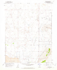
1960 Map of Meadow
USGS Topo · Published 1962About this map
Agricultural development and volcanic geology intersect in this Millard County landscape during the early 1960s. The settlement of Meadow serves as a primary hub, characterized by a grid of streets and the nearby Meadow Cem. Water management is central to the area's viability, evidenced by the network of irrigation features including the Almond Ditch, a Ditch system, and numerous Wells that support the local farming economy. To the north, the small community of Flowell sits at a crossroads, while the landscape to the west is dominated by a sprawling field of Lava and distinctive peaks like White Mtn.
Find a feature on this map
18 named features on this map. Tap any name to fly to it.
Don’t see what you’re looking for? This feature index may not catch every label — zoom into the map to look around manually.
Map Details
Editions of this 1960 Meadow Map
This is the sole edition of this map. No revisions or reprints were ever made.
Other maps of this area

1885 · Beaver
USGS Topo · 1:250,000

1885 · Sevier Desert
USGS Topo · 1:250,000

1953 · Richfield
USGS Topo · 1:250,000

1953 · Delta
USGS Topo · 1:250,000

1958 · Richfield
USGS Topo · 1:250,000

1958 · Delta
USGS Topo · 1:250,000

1961 · Fillmore
USGS Topo · 1:24,000

1962 · Delta
USGS Topo · 1:250,000

1962 · Fillmore
USGS Topo · 1:62,500
1962 · The Sink
USGS Topo · 1:24,000