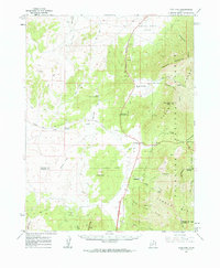
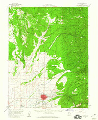
1962 Map of Cove Fort
USGS Topo · Published 1964About this map
Cove Fort stands at the historic junction where the Pavant Range meets the Tushar Mts, serving as a vital waypoint in central Utah during the mid-century era. This survey, updated in the early 1960s, details a landscape shaped by both geological forces and early settlement infrastructure. Volcanic activity is evident through features like Lava Ridge and Cinder Crater, while human presence is marked by isolated outposts such as Sulphurdale and the wooded pocket of Cedar Grove.
Find a feature on this map
52 named features on this map. Tap any name to fly to it.
Don’t see what you’re looking for? This feature index may not catch every label — zoom into the map to look around manually.
Map Details
Editions of this 1962 Cove Fort Map
This is the sole edition of this map. No revisions or reprints were ever made.
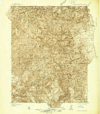
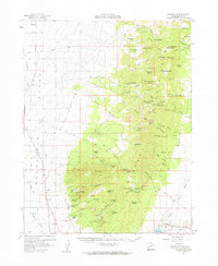
Other maps of this area

1885 · Beaver
USGS Topo · 1:250,000

1932 · Sevier
USGS Topo · 1:62,500
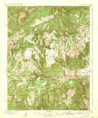
1935 · Sevier
USGS Topo · 1:62,500
1937 · Delano Peak
USGS Topo · 1:48,000
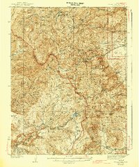
1943 · Delano Peak
USGS Topo · 1:62,500

1953 · Richfield
USGS Topo · 1:250,000

1954 · Beaver NE
USGS Topo · 1:24,000

1958 · Richfield
USGS Topo · 1:250,000
1958 · Beaver
USGS Topo · 1:62,500
1958 · Adamsville
USGS Topo · 1:62,500