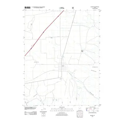
2011 Map of Kanosh
USGS Topo · Published 2011About this map
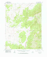
Kanosh Indian Village and the town of Kanosh occupy the transition from the high desert valley to the steep southern mountain ranges. This 2011 survey illustrates a landscape deeply tied to its water sources, where Corn Creek flows from Kanosh Canyon to irrigate the surrounding agricultural grid. The presence of the Kanosh Cemetery and the settlement at Hatton highlight the enduring community structures in Millard County. Significant geological and industrial features include the distinctive Black Rock Volcano to the west and the Rock Corral Quarry to the north. Smaller landmarks like Frank Barney Spring and Corn Creek Bench Spring indicate where vital water emerges from the canyon floor to support this arid region.
Find a feature on this map
26 named features on this map. Tap any name to fly to it.
Don’t see what you’re looking for? This feature index may not catch every label — zoom into the map to look around manually.
Map Details
Editions of this 2011 Kanosh Map
This is the sole edition of this map. No revisions or reprints were ever made.
Other maps of this area
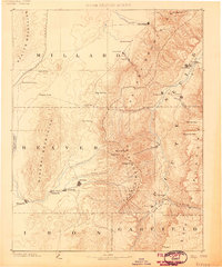
1885 · Beaver
USGS Topo · 1:250,000
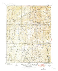
1932 · Sevier
USGS Topo · 1:62,500
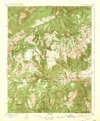
1935 · Sevier
USGS Topo · 1:62,500

1953 · Richfield
USGS Topo · 1:250,000

1958 · Richfield
USGS Topo · 1:250,000
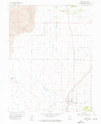
1960 · Meadow
USGS Topo · 1:24,000
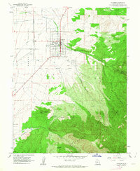
1961 · Fillmore
USGS Topo · 1:24,000
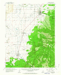
1962 · Fillmore
USGS Topo · 1:62,500
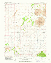
1962 · Tabernacle Hill
USGS Topo · 1:62,500
1962 · Cove Fort
USGS Topo · 1:62,500