Old Maps of Emigration Canyon, Utah for Academic Research
Study the evolution of Emigration Canyon with 31 high-resolution historic maps. Whether you're teaching, researching, or modeling changes in land use, these maps provide essential visual documentation of urban, environmental, and geographic change.
- Analyze long-term change: Track patterns in development, transportation, and natural features.
- Ideal for environmental or urban studies: Support academic projects with primary historical map data.
- Use in the classroom or lab: Educators and researchers rely on these maps to bring historical context to life.
These maps are a powerful tool for teaching, research, and visualizing how Emigration Canyon has changed over the decades.
Emigration Canyon, UT maps
(31)- 1885 Map of Salt Lake
 1885 Salt Lake1885 Print · USGSThe Wasatch Front and surrounding high valleys appear here in the mid-1880s during a period of rapid mining and rail expansion. Genealogists and historians can trace early town sites and mining camps including Alta, Silver City, and the military grounds of Fort Douglass.7 unique versions available
 - 1925 Map of Ft. Douglas
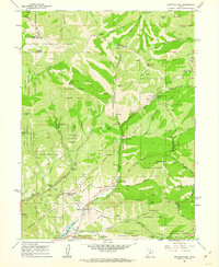
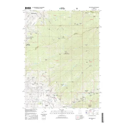
 1925 Ft. Douglas1925 Print · USGSThe Wasatch Range in the mid-1920s shows a landscape of mining camps and early mountain tourism. Genealogists and researchers can trace the old paths of the Lincoln Highway and locate vanished stops like Gogorza, Kimballs, and the Pacific Mine.
 - 1928 Map of Ft. Douglas
 1928 Ft. Douglas1928 Print · USGSIn the mid-1920s, the high country east of Salt Lake was a hive of mining and early canyon tourism. Trace old claim sites like the Pacific Mine or visit early retreats such as Pinecrest Inn and the YWCA Camp during the mining era.2 unique versions available
 - 1950 Map of Fort Douglas, 1958 Print
 1950 Fort Douglas1958 Print · USGSThe eastern benches of Salt Lake City meet the Wasatch foothills in the early fifties, showing a city expanding toward the canyons. Genealogists and historians can locate the City Cemetery, the University of Utah, and the This Is the Place Monument.
 - 1951 Map of Fort Douglas
 1951 Fort Douglas1951 Print · USGSSalt Lake City's eastern neighborhoods and the Wasatch foothills are captured in the early fifties, showing the city's growth toward the mountains. Researchers can find precise locations for the University of Utah, the City Cemetery, and the Fort Douglas military grounds.
 - 1952 Map of Sugar House, 1954 Print
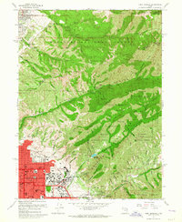
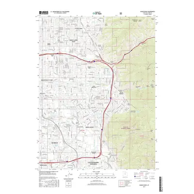
 1952 Sugar House1954 Print · USGSSalt Lake City's eastern suburbs and the rugged Wasatch front are captured here in the early fifties as the city expanded toward the mountains. Researchers can find the State Prison (Abandoned), the Hogle Garden Zoo, and the industrial Brick Kilns near the D & R G W RR line.2 unique versions available
 - 1954 Map of Salt Lake City, 1964 Print
 1954 Salt Lake City1964 Print · USGSThe Wasatch Front and Uinta Mountains are captured here in the mid-fifties, showing the industrial heart of Utah and its high mountain wilderness. Researchers can locate vanished infrastructure and landmarks like the Geneva Steel Plant, Bingham Canyon Mine, and the Utah State Prison.4 unique versions available
 - 1958 Map of Salt Lake City
 1958 Salt Lake City1958 Print · USGSThe Wasatch Front and Uinta Basin are captured during a period of significant post-war growth and industrial development. Researchers can trace the mid-century rail lines of the Bamberger RR and locate sites like the Kiegley Limestone Quarry and Camp Williams Military Reservation.
 - 1960 Map of Salt Lake City
 1960 Salt Lake City1960 Print · USGSThe Wasatch Front and High Uintas are captured mid-century as the Salt Lake Valley underwent significant postwar expansion. Genealogists and historians can trace rail lines like the Union Pacific and locate established landmarks such as Fort Douglas, Camp Williams, and the Bingham Canyon Mine.
 - 1961 Map of Mountain Dell, 1963 Print
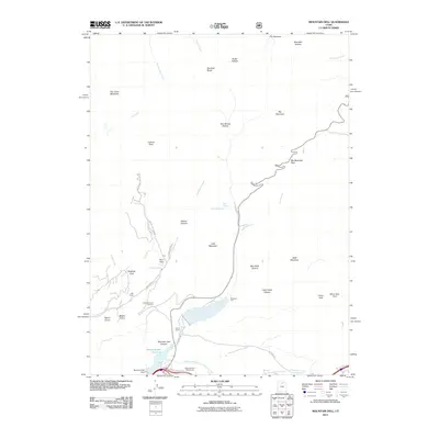
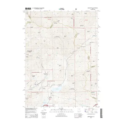
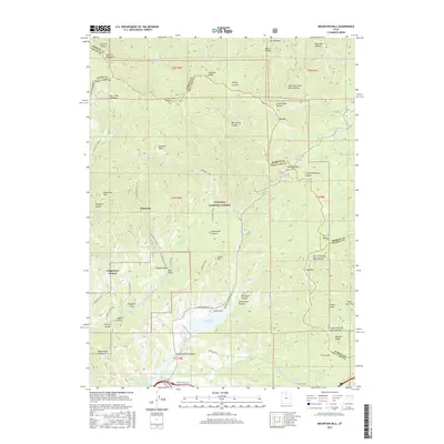
 1961 Mountain Dell1963 Print · USGSThe high Wasatch ridges east of Salt Lake City are captured here in the early 1960s, showing a landscape defined by pioneer history and modern utility. Trace the Route of Donner-Reed Party and the Mormon Trail near monuments like Last Camp.4 unique versions available
 - 1963 Map of Fort Douglas, 1964 Print
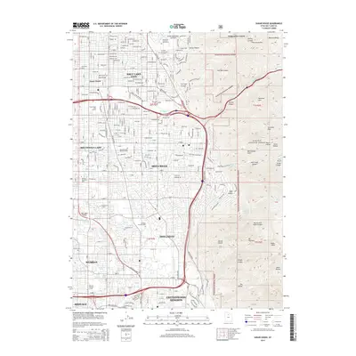
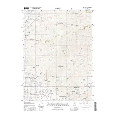
 1963 Fort Douglas1964 Print · USGSSalt Lake City and the Wasatch foothills meet in the early sixties, as the city pushes eastward against the national forest. Genealogists and local historians can trace the grounds of Fort Douglas, the City Cemetery, and landmarks like the This is the Place Monument.5 unique versions available
 - 1963 Map of Sugar House, 1964 Print
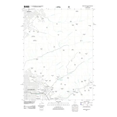
 1963 Sugar House1964 Print · USGSThe southeastern valley of Salt Lake City is shown during its mid-century growth phase as suburban neighborhoods reached the mountain base. Genealogists and historians can trace family locations near Knudsens Corner, Westminster College, or the Elysian Burial Gardens.3 unique versions available
 - 1980 Map of Salt Lake City
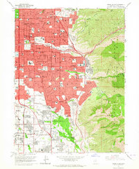
 1980 Salt Lake City1980 Print · USGSSalt Lake City and the surrounding Wasatch Range are shown in the early eighties during a period of rapid suburban growth. Genealogists and historians can trace old mining operations like the Ontario Mine and Wasatch Mine or follow the path of the Union Pacific through the canyons.3 unique versions available
 - 1998 Map of Mountain Dell, 2001 Print
 1998 Mountain Dell2001 Print · USGSThe high passes and historic migration trails east of Salt Lake City are preserved here in the late nineties. Trace the footsteps of the Mormon Pioneers and locate landmark markers like the Ephraim Hanks Station Pony Express Marker or the Camp Grant Hist Site.
 - 1998 Map of Fort Douglas, 2001 Print
 1998 Fort Douglas2001 Print · USGSThe eastern edges of Salt Lake City and Bountiful meet the high Wasatch front in the late nineties, just as the region prepared for the Winter Olympics. Researchers can trace the boundaries of Fort Douglas, find the City Cemetery, and see the footprint of the Olympic Village.
 - 1998 Map of Sugar House, 2001 Print
 1998 Sugar House2001 Print · USGSSalt Lake City and Murray expand toward the Wasatch Front in the late nineties as the suburban grid meets the wilderness. Trace local heritage at Wheeler Historic Farm, the Sugar House Monument, or find family records at Elysian Burial Gardens and Knudsens Corner.
 - 2011 Map of Sugar House, 2011 Print
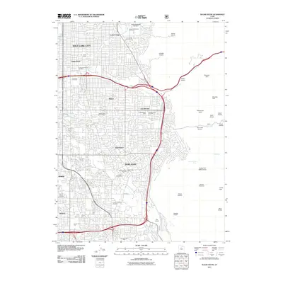 2011 Sugar House2011 Print · USGSCovers Emigration Canyon, including Salt Lake City, Millcreek, and other nearby areas
 - 2011 Map of Mountain Dell, 2011 Print
 2011 Mountain Dell2011 Print · USGSCovers Emigration Canyon, including Salt Lake City, Salt Lake County, and other nearby areas
 - 2011 Map of Fort Douglas, 2011 Print
 2011 Fort Douglas2011 Print · USGSCovers Emigration Canyon, including Salt Lake City, Bountiful, and other nearby areas
 - 2014 Map of Mountain Dell, 2014 Print
 2014 Mountain Dell2014 Print · USGSCovers Emigration Canyon, including Salt Lake City, Salt Lake County, and other nearby areas
 - 2014 Map of Sugar House, 2014 Print
 2014 Sugar House2014 Print · USGSCovers Emigration Canyon, including Salt Lake City, Millcreek, and other nearby areas
 - 2014 Map of Fort Douglas, 2014 Print
 2014 Fort Douglas2014 Print · USGSCovers Emigration Canyon, including Salt Lake City, Bountiful, and other nearby areas
 - 2017 Map of Sugar House, 2017 Print
 2017 Sugar House2017 Print · USGSCovers Emigration Canyon, including Salt Lake City, Millcreek, and other nearby areas
 - 2017 Map of Mountain Dell, 2017 Print
 2017 Mountain Dell2017 Print · USGSCovers Emigration Canyon, including Salt Lake City, Salt Lake County, and other nearby areas
 - 2017 Map of Fort Douglas, 2017 Print
 2017 Fort Douglas2017 Print · USGSCovers Emigration Canyon, including Salt Lake City, Bountiful, and other nearby areas
Showing maps 1-25 of 31
Top cities near Emigration Canyon
- Salt Lake City historical maps
- West Valley City historical maps
- West Jordan historical maps
- Sandy historical maps
- South Jordan historical maps
- Millcreek historical maps
See more
Frequently asked questions
- What are the different types of historical maps available for Emigration Canyon?
- What is the oldest map of Emigration Canyon?
- Where can I purchase historical maps of Emigration Canyon for my home or office?
- Where can I download high-res historical maps of Emigration Canyon?
- Are there historical topographic maps available for Emigration Canyon?
- Is there historical aerial imagery available for Emigration Canyon?
- Where are historical maps of Emigration Canyon sourced from?