2020s Maps of Salt Lake City, Utah
Explore 14 historic maps of Salt Lake City from the 2020s. These maps offer a rare glimpse into what life looked like during the 2020s — showing old roads, neighborhoods, homes, and landmarks that have changed or disappeared over time.
Whether you're researching your family's past, planning a metal detecting trip, or studying how Salt Lake City's landscape evolved across the 2020s, these high-resolution maps are a powerful tool for exploring the history of this region.
- Focus on a specific era: All maps on this page are from the 2020s, giving you a focused view of this time period.
- See what’s changed: Compare century-old streets, trails, and buildings to today's modern landscape using overlays and satellite layers.
- Research with precision: Use these maps for genealogy, historical research, land use analysis, or educational projects.
- View, download, or print: Maps are fully viewable online in high resolution, and can be downloaded or printed for your own records.
Start exploring Salt Lake City's history through authentic maps from the 2020s. This is your window into the past.
Salt Lake City, UT maps
(14)- 2020 Map of Baileys Lake, 2020 Print
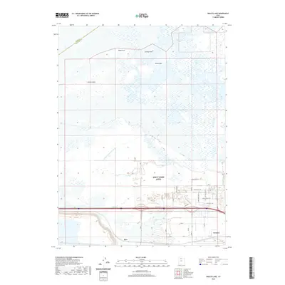 2020 Baileys Lake2020 Print · USGSCovers Salt Lake City, including Magna, Salt Lake County, and other nearby areas
 - 2020 Map of Fort Douglas, 2020 Print
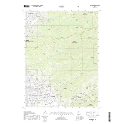 2020 Fort Douglas2020 Print · USGSCovers Salt Lake City, including Bountiful, North Salt Lake, and other nearby areas
 - 2020 Map of Salt Lake City South, 2020 Print
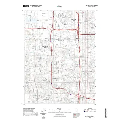 2020 Salt Lake City South2020 Print · USGSCovers Salt Lake City, including West Valley City, West Jordan, and other nearby areas
 - 2020 Map of Salt Lake City North, 2020 Print
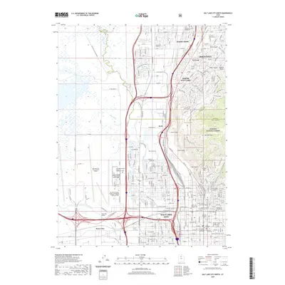 2020 Salt Lake City North2020 Print · USGSCovers Salt Lake City, including Bountiful, North Salt Lake, and other nearby areas
 - 2020 Map of Sugar House, 2020 Print
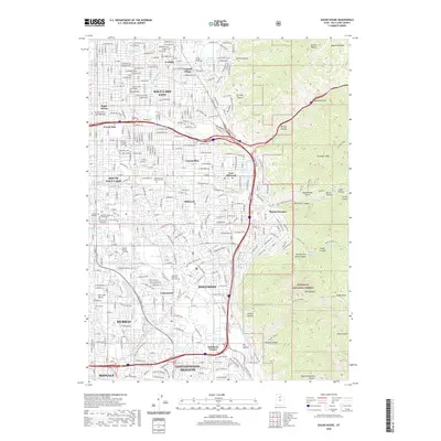 2020 Sugar House2020 Print · USGSCovers Salt Lake City, including Millcreek, Murray, and other nearby areas
 - 2020 Map of Mountain Dell, 2020 Print
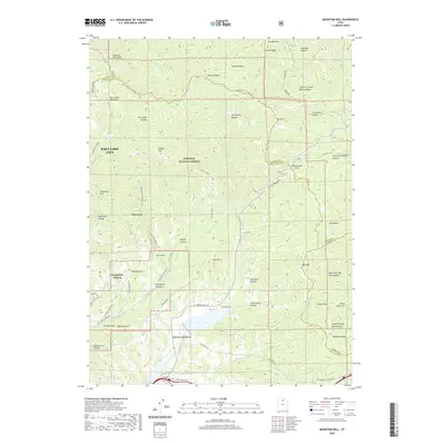 2020 Mountain Dell2020 Print · USGSCovers Salt Lake City, including Emigration Canyon, Salt Lake County, and other nearby areas
 - 2020 Map of Magna, 2020 Print
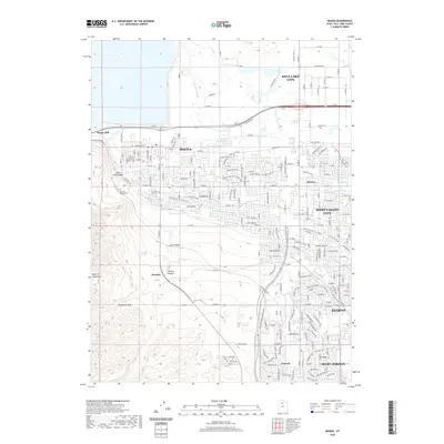 2020 Magna2020 Print · USGSCovers Salt Lake City, including West Valley City, West Jordan, and other nearby areas
 - 2023 Map of Magna, 2023 Print
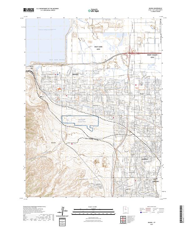 2023 Magna2023 Print · USGSThe western edge of the Salt Lake Valley is captured here during a period of significant suburban expansion and industrial persistence. Genealogists and local historians can locate Pleasant Green Cem and trace the influence of the Magna Mill and the historic Utah and Salt Lake Canal across the landscape.
 - 2023 Map of Baileys Lake, 2023 Print
 2023 Baileys Lake2023 Print · USGSThe industrial and marshy fringe of Salt Lake City is captured in this recent survey of the transition between urban development and the Great Salt Lake. Researchers can trace intricate water systems like the Surplus Canal or locate early sites such as Riter and the Kennecott Tailings Pond Number one.
 - 2023 Map of Sugar House, 2023 Print
 2023 Sugar House2023 Print · USGSThe eastern Salt Lake Valley comes alive in this contemporary record of its canyon-mouth communities and mountain frontiers. Genealogists and historians can trace the boundaries of Wasatch Lawn Memorial Park, locate Westminster College, and follow the path of the Salt Lake City Aqueduct.
 - 2023 Map of Mountain Dell, 2023 Print
 2023 Mountain Dell2023 Print · USGSThe Wasatch Range foothills above the Salt Lake Valley appear in detail during the early 2020s, showing a landscape shaped by historical passage and water management. You can trace the path of the Mormon Trl near Big Mtn or locate mountain retreats like Pinecrest.
 - 2023 Map of Fort Douglas, 2023 Print
 2023 Fort Douglas2023 Print · USGSThe northeastern foothills of the Salt Lake Valley meet the high Wasatch peaks in this recent survey. Local historians can trace the grounds of Fort Douglas and the University of Utah, alongside numerous pioneer-era burial sites like Mount Olivet Cemetery.
 - 2023 Map of Salt Lake City South, 2023 Print
 2023 Salt Lake City South2023 Print · USGSThe Salt Lake Valley in the early 2020s shows a landscape defined by its historic canal systems and rapid urban growth. Researchers can trace local landmarks from South Valley Regional Airport to the campus of SLCC and the grounds of Redwood Memorial Cem.
 - 2023 Map of Salt Lake City North, 2023 Print
 2023 Salt Lake City North2023 Print · USGSThe northern reaches of the Salt Lake Valley are shown here in modern detail, where the urban sprawl meets the steep foothills of the Wasatch Range. Genealogists and historians can trace significant landmarks like the Sessions Settlement-Pioneer Cem and the Cathedral of the Madeleine.
End of results
Showing maps 1-14 of 14
Top cities near Salt Lake City
- West Valley City historical maps
- West Jordan historical maps
- Sandy historical maps
- South Jordan historical maps
- Millcreek historical maps
- Taylorsville historical maps
See more
Top neighborhoods of Salt Lake City
- Alvin & Helene Richer Commons historical maps
- Kabis and Myers historical maps
- Langton Park historical maps
- Clives historical maps
- Colorado historical maps
- Cone and Roberts Addition historical maps
See more
Frequently asked questions
- What are the different types of historical maps available for Salt Lake City?
- What is the oldest map of Salt Lake City?
- Where can I purchase historical maps of Salt Lake City for my home or office?
- Where can I download high-res historical maps of Salt Lake City?
- Are there historical topographic maps available for Salt Lake City?
- Is there historical aerial imagery available for Salt Lake City?
- Where are historical maps of Salt Lake City sourced from?