2000s (21st Century) Maps of Salt Lake City, Utah
Explore 35 historic maps of Salt Lake City from the 2000s (21st Century). These maps offer a rare glimpse into what life looked like during the 2000s — showing old roads, neighborhoods, homes, and landmarks that have changed or disappeared over time.
Whether you're researching your family's past, planning a metal detecting trip, or studying how Salt Lake City's landscape evolved across the 2000s, these high-resolution maps are a powerful tool for exploring the history of this region.
- Focus on a specific era: All maps on this page are from the 2000s, giving you a focused view of this time period.
- See what’s changed: Compare century-old streets, trails, and buildings to today's modern landscape using overlays and satellite layers.
- Research with precision: Use these maps for genealogy, historical research, land use analysis, or educational projects.
- View, download, or print: Maps are fully viewable online in high resolution, and can be downloaded or printed for your own records.
Start exploring Salt Lake City's history through authentic maps from the 2000s. This is your window into the past.
Salt Lake City, UT maps
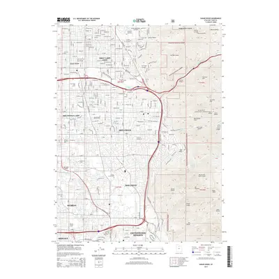
(35)- 2011 Map of Magna, 2011 Print
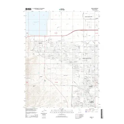
 2011 Magna2011 Print · USGSCovers Salt Lake City, including West Valley City, West Jordan, and other nearby areas
 - 2011 Map of Sugar House, 2011 Print
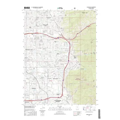
 2011 Sugar House2011 Print · USGSCovers Salt Lake City, including Millcreek, Murray, and other nearby areas
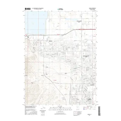
 - 2011 Map of Salt Lake City North, 2011 Print
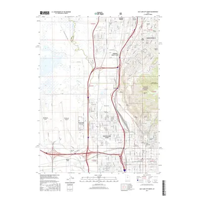
 2011 Salt Lake City North2011 Print · USGSCovers Salt Lake City, including Bountiful, North Salt Lake, and other nearby areas
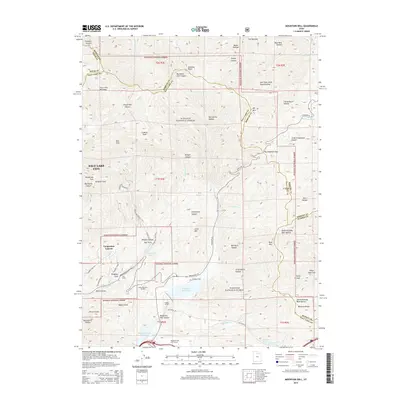
 - 2011 Map of Mountain Dell, 2011 Print
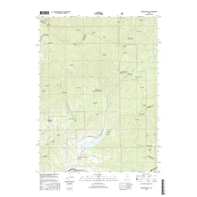
 2011 Mountain Dell2011 Print · USGSCovers Salt Lake City, including Emigration Canyon, Salt Lake County, and other nearby areas
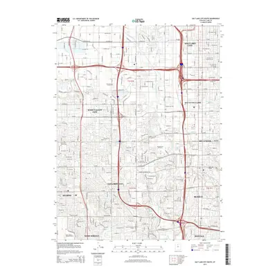
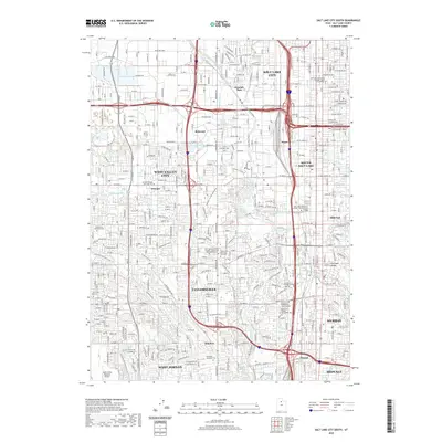
 - 2011 Map of Salt Lake City South, 2011 Print
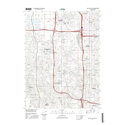
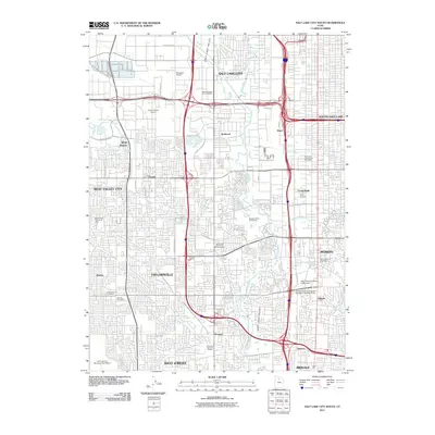 2011 Salt Lake City South2011 Print · USGSCovers Salt Lake City, including West Valley City, West Jordan, and other nearby areas
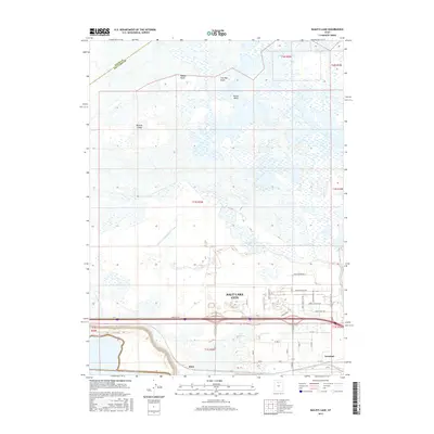
 - 2011 Map of Baileys Lake, 2011 Print
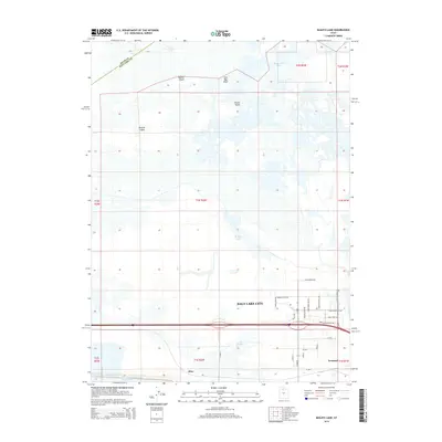
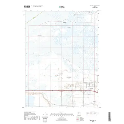
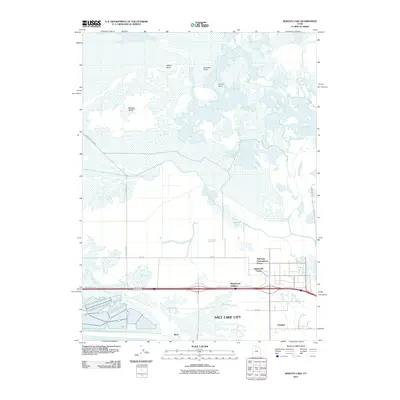 2011 Baileys Lake2011 Print · USGSCovers Salt Lake City, including Magna, Salt Lake County, and other nearby areas
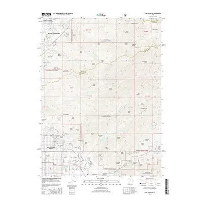
 - 2011 Map of Fort Douglas, 2011 Print
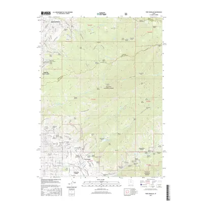
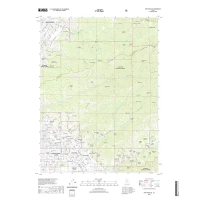
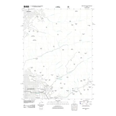 2011 Fort Douglas2011 Print · USGSCovers Salt Lake City, including Bountiful, North Salt Lake, and other nearby areas
 - 2014 Map of Salt Lake City North, 2014 Print
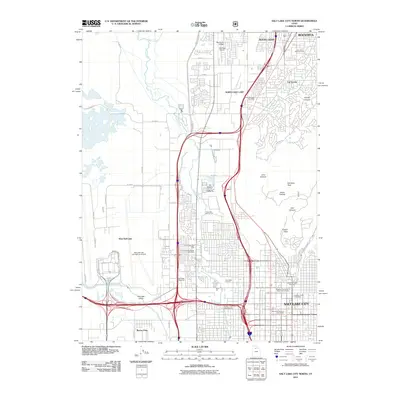
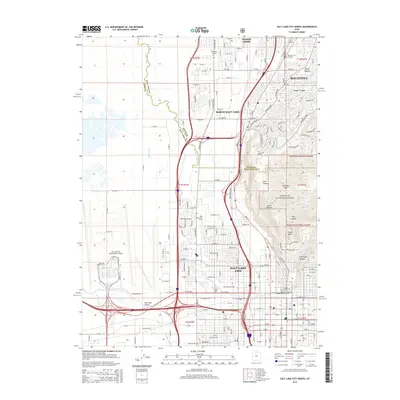 2014 Salt Lake City North2014 Print · USGSCovers Salt Lake City, including Bountiful, North Salt Lake, and other nearby areas
 - 2014 Map of Baileys Lake, 2014 Print
 2014 Baileys Lake2014 Print · USGSCovers Salt Lake City, including Magna, Salt Lake County, and other nearby areas
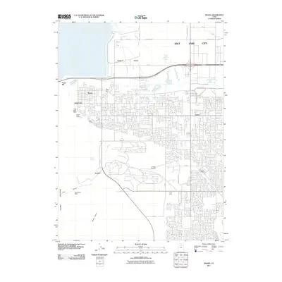
 - 2014 Map of Magna, 2014 Print
 2014 Magna2014 Print · USGSCovers Salt Lake City, including West Valley City, West Jordan, and other nearby areas
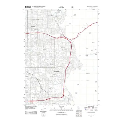
 - 2014 Map of Salt Lake City South, 2014 Print
 2014 Salt Lake City South2014 Print · USGSCovers Salt Lake City, including West Valley City, West Jordan, and other nearby areas
 - 2014 Map of Mountain Dell, 2014 Print
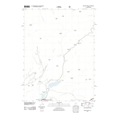
 2014 Mountain Dell2014 Print · USGSCovers Salt Lake City, including Emigration Canyon, Salt Lake County, and other nearby areas
 - 2014 Map of Sugar House, 2014 Print
 2014 Sugar House2014 Print · USGSCovers Salt Lake City, including Millcreek, Murray, and other nearby areas
 - 2014 Map of Fort Douglas, 2014 Print
 2014 Fort Douglas2014 Print · USGSCovers Salt Lake City, including Bountiful, North Salt Lake, and other nearby areas
 - 2017 Map of Magna, 2017 Print
 2017 Magna2017 Print · USGSCovers Salt Lake City, including West Valley City, West Jordan, and other nearby areas
 - 2017 Map of Baileys Lake, 2017 Print
 2017 Baileys Lake2017 Print · USGSCovers Salt Lake City, including Magna, Salt Lake County, and other nearby areas
 - 2017 Map of Sugar House, 2017 Print
 2017 Sugar House2017 Print · USGSCovers Salt Lake City, including Millcreek, Murray, and other nearby areas
 - 2017 Map of Mountain Dell, 2017 Print
 2017 Mountain Dell2017 Print · USGSCovers Salt Lake City, including Emigration Canyon, Salt Lake County, and other nearby areas
 - 2017 Map of Salt Lake City South, 2017 Print
 2017 Salt Lake City South2017 Print · USGSCovers Salt Lake City, including West Valley City, West Jordan, and other nearby areas
 - 2017 Map of Salt Lake City North, 2017 Print
 2017 Salt Lake City North2017 Print · USGSCovers Salt Lake City, including Bountiful, North Salt Lake, and other nearby areas
 - 2017 Map of Fort Douglas, 2017 Print
 2017 Fort Douglas2017 Print · USGSCovers Salt Lake City, including Bountiful, North Salt Lake, and other nearby areas
 - 2020 Map of Baileys Lake, 2020 Print
 2020 Baileys Lake2020 Print · USGSCovers Salt Lake City, including Magna, Salt Lake County, and other nearby areas
 - 2020 Map of Fort Douglas, 2020 Print
 2020 Fort Douglas2020 Print · USGSCovers Salt Lake City, including Bountiful, North Salt Lake, and other nearby areas
 - 2020 Map of Salt Lake City South, 2020 Print
 2020 Salt Lake City South2020 Print · USGSCovers Salt Lake City, including West Valley City, West Jordan, and other nearby areas
 - 2020 Map of Salt Lake City North, 2020 Print
 2020 Salt Lake City North2020 Print · USGSCovers Salt Lake City, including Bountiful, North Salt Lake, and other nearby areas
Showing maps 1-25 of 35
Top cities near Salt Lake City
- West Valley City historical maps
- West Jordan historical maps
- Sandy historical maps
- South Jordan historical maps
- Millcreek historical maps
- Taylorsville historical maps
See more
Top neighborhoods of Salt Lake City
- Alvin & Helene Richer Commons historical maps
- Kabis and Myers historical maps
- Langton Park historical maps
- Clives historical maps
- Colorado historical maps
- Cone and Roberts Addition historical maps
See more
Frequently asked questions
- What are the different types of historical maps available for Salt Lake City?
- What is the oldest map of Salt Lake City?
- Where can I purchase historical maps of Salt Lake City for my home or office?
- Where can I download high-res historical maps of Salt Lake City?
- Are there historical topographic maps available for Salt Lake City?
- Is there historical aerial imagery available for Salt Lake City?
- Where are historical maps of Salt Lake City sourced from?