Old Maps of Goulding's, Utah for Academic Research
Study the evolution of Goulding's with 13 high-resolution historic maps. Whether you're teaching, researching, or modeling changes in land use, these maps provide essential visual documentation of urban, environmental, and geographic change.
- Analyze long-term change: Track patterns in development, transportation, and natural features.
- Ideal for environmental or urban studies: Support academic projects with primary historical map data.
- Use in the classroom or lab: Educators and researchers rely on these maps to bring historical context to life.
These maps are a powerful tool for teaching, research, and visualizing how Goulding's has changed over the decades.
Goulding's, UT maps
(13)- 1886 Map of Henry Mountains
 1886 Henry Mountains1886 Print · USGSSouthern Utah remains a wilderness of deep canyons and volcanic peaks in this 1880s survey. Researchers can trace the original courses of the Colorado River through Cataract Canyon and find landmarks like Navajo Mt and Monument Valley.
 - 1892 Map of Henry Mountains
 1892 Henry Mountains1892 Print · USGSSouthern Utah in the late 1800s remains a wilderness of deep canyons and isolated peaks under the direction of J.W. Powell. Geologists and historians can trace the geological spine of the Water Pocket Fold and the early boundaries of the Navajo Indian Res. near Monument Valley.6 unique versions available
 - 1952 Map of Clay Hills 4 SW
 1952 Clay Hills 4 SW1952 Print · USGSSan Juan County in the early fifties reveals a remote landscape where tradition meets industry on the Navajo Indian Reservation. Researchers can trace the layout of the Goulding Trading Post, the remote Skyline Mine, and scattered dwellings labeled simply as Hogans.2 unique versions available
 - 1956 Map of Escalante
 1956 Escalante1956 Print · USGSSouthern Utah and Northern Arizona are charted here in the mid-fifties, just before the canyon floor was transformed. Researchers can trace remote desert commerce at Oljeto Trading Post, find the Adairville (ruins), and locate Uranium mines.5 unique versions available
 - 1960 Map of Escalante
 1960 Escalante1960 Print · USGSSouthern Utah and northern Arizona appear at a historic turning point in the late fifties as Lake Powell begins to reshape the canyons. Researchers can trace remote sites like Goulding Trading Post, a lonely Uranium Mine, and Coyote Ranches before the reservoir's rise.
 - 1963 Map of Goulding, 1965 Print
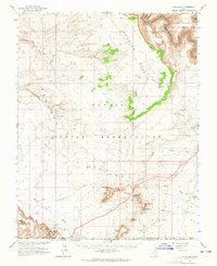 1963 Goulding1965 Print · USGSThe high desert along the Utah-Arizona border comes to life in the early sixties, showing the remote outposts of the Monument Valley region. Trace the locations of the Goulding Trading Post, the Mission, and geologic icons like Castle Rock and Sentinel Mesa.2 unique versions available
 - 1981 Map of Navajo Mountain, 1982 Print
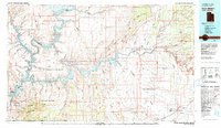 1981 Navajo Mountain1982 Print · USGSThe high desert border of Utah and Arizona is captured here in the early eighties, showing the sprawling waters of Lake Powell and the San Juan River. Researchers can locate the Sunwind Mine, the Navajo Mountain School, and the iconic Rainbow Bridge.
 - 1988 Map of Goulding
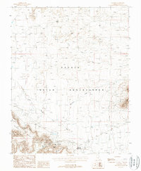 1988 Goulding1988 Print · USGSThe Navajo Indian Reservation comes into focus during the late 1980s, showing a landscape where remote mesas meet essential community infrastructure. Researchers can locate family landmarks and local industry, from the Skyline Mine and Goulding settlement to the Monument Valley High School.
 - 2011 Map of Goulding, 2011 Print
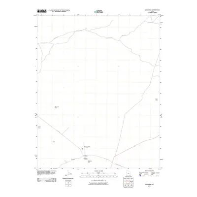 2011 Goulding2011 Print · USGSGoulding and the surrounding high desert mesas are captured here in the early twenty-first century. Researchers can locate the historic Goulding Trading Post, trace the path of Monument Wash, and find remote landmarks like Skyline Mine.
 - 2014 Map of Goulding, 2014 Print
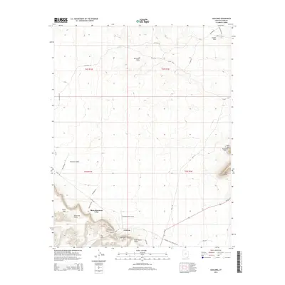 2014 Goulding2014 Print · USGSGoulding and the surrounding high-desert canyons are captured here in the early twenty-first century, showing the intersection of traditional land and modern travel. Researchers can trace local landmarks like Goulding Arch, The Gap, and the essential waters of Cedar Spring.
 - 2017 Map of Goulding, 2017 Print
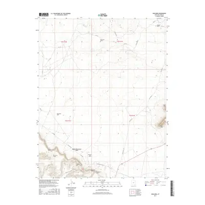 2017 Goulding2017 Print · USGSThe high desert of San Juan County comes into focus in this recent survey of the lands surrounding Goulding. Genealogists and historians can trace the roads and landmarks of Oljato-Monument Valley, locating remote sites like Cedar Spring and Goulding Arch.
 - 2020 Map of Goulding, 2020 Print
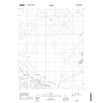 2020 Goulding2020 Print · USGSGoulding and the iconic terrain of San Juan County appear in high detail during the early twenty-first century. Researchers can trace the layout of Oljato-Monument Valley, locate the Monument Valley Airport, and identify landmarks like Eagle Rock and Goulding Arch.
 - 2023 Map of Goulding, 2023 Print
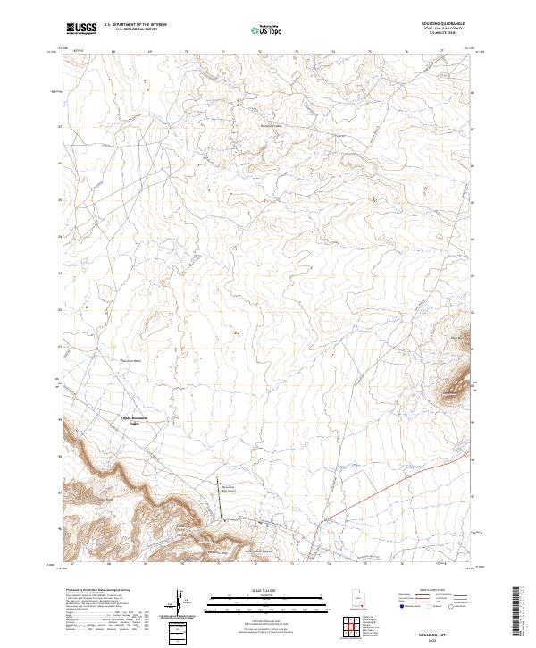 2023 Goulding2023 Print · USGSSan Juan County enters the 2020s as a landscape of monumental mesas and essential desert waypoints. You can trace modern access routes and local landmarks like the Monument Valley Airport, Goulding Arch, and the community of Oljato-Monument Valley.
End of results
Showing maps 1-13 of 13
Top cities near Goulding's
Frequently asked questions
- What are the different types of historical maps available for Goulding's?
- What is the oldest map of Goulding's?
- Where can I purchase historical maps of Goulding's for my home or office?
- Where can I download high-res historical maps of Goulding's?
- Are there historical topographic maps available for Goulding's?
- Is there historical aerial imagery available for Goulding's?
- Where are historical maps of Goulding's sourced from?