Old Maps of Milburn, Utah for Academic Research
Study the evolution of Milburn with 13 high-resolution historic maps. Whether you're teaching, researching, or modeling changes in land use, these maps provide essential visual documentation of urban, environmental, and geographic change.
- Analyze long-term change: Track patterns in development, transportation, and natural features.
- Ideal for environmental or urban studies: Support academic projects with primary historical map data.
- Use in the classroom or lab: Educators and researchers rely on these maps to bring historical context to life.
These maps are a powerful tool for teaching, research, and visualizing how Milburn has changed over the decades.
Milburn, UT maps
(13)- 1885 Map of Manti
 1885 Manti1885 Print · USGSCentral Utah during the mid-1880s reveals a growing network of agricultural towns and vital rail lines through the high desert. Researchers can trace early family settlements along the San Pete River and locate historic depots like Pleasant Valley Junction or the early township of Nephi.4 unique versions available
 - 1895 Map of Manti, 1921 Print
 1895 Manti1921 Print · USGSSanpete County and the high plateaus of central Utah are captured in the late nineteenth century as irrigation and railroads transformed the valley floor. Genealogists and historians can trace the early layout of Manti, Ephraim, and Nephi, alongside smaller outposts like Fountain Green and Mayfield.
 - 1956 Map of Price, 1968 Print
 1956 Price1968 Print · USGSCentral Utah in the mid-fifties showcases a landscape shaped by coal mining and mountain-fed irrigation. Trace the rail-and-river economy through the Geneva Coal Mine, the Union Pacific line, and settlements like Price and Ephraim.3 unique versions available
 - 1960 Map of Price
 1960 Price1960 Print · USGSCentral Utah in the late fifties was a landscape of coal-hauling railroads and high plateau settlements. Genealogists and local historians can trace the rail-to-river economy from Price to the mountain mining camps of Hiawatha, Dragerton, and Sunnyside.2 unique versions available
 - 1962 Map of Price
 1962 Price1962 Print · USGSCentral Utah during the early sixties shows a landscape balancing high-mountain forestry with valley agriculture and coal mining. Genealogists and historians can trace the Denver and Rio Grande Western rail lines through industrial hubs like Price or locate formerly active sites like Coal City (abandoned).
 - 1967 Map of Fairview, 1969 Print
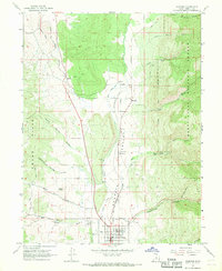 1967 Fairview1969 Print · USGSSanpete Valley at the height of the late sixties reveals a landscape shaped by the Denver and Rio Grande Western railroad and high-mountain forestry. Genealogists and local historians can trace the foundations of Fairview, the Fairview Cemetery, and smaller rail-side locales like Milburn.
 - 1981 Map of Nephi
 1981 Nephi1981 Print · USGSThe Juab and Sanpete valleys of central Utah are captured here in the early 1980s, during a period of established mountain settlement and rail-based commerce. Researchers can trace the routes of the Union Pacific and visit traditional communities like Nephi, Mount Pleasant, and Scofield.3 unique versions available
 - 2001 Map of Fairview, 2004 Print
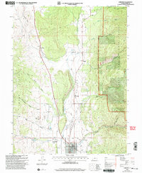 2001 Fairview2004 Print · USGSThe Sanpete Valley near the turn of the millennium shows a landscape defined by the San Pitch River and the rising slopes of the Cedar Hills. Genealogists and local historians can trace the town layouts of Fairview and Milburn, locate the Fairview Cem, or find rural landmarks like the Powerplant and Hill Top.
 - 2011 Map of Fairview, 2011 Print
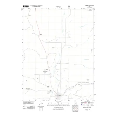 2011 Fairview2011 Print · USGSSanpete County at the turn of the 21st century reveals a landscape where valley settlements meet the rising mountain canyons. Local historians can trace the community layout of Fairview and the rural reaches of Milburn and Oak Creek along the San Pitch River.
 - 2014 Map of Fairview, 2014 Print
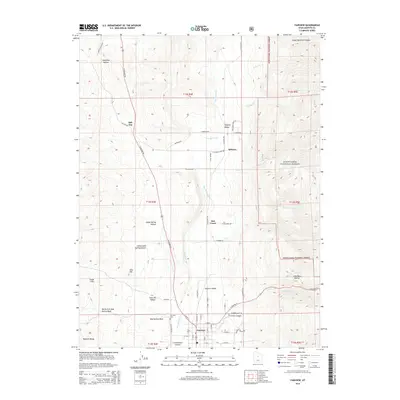 2014 Fairview2014 Print · USGSSanpete Valley in the early 21st century remains defined by its high-desert topography and scattered mountain settlements. Researchers can trace the layout of Fairview and Milburn, or locate family sites near the Fairview Cemetery and San Pitch River.
 - 2017 Map of Fairview, 2017 Print
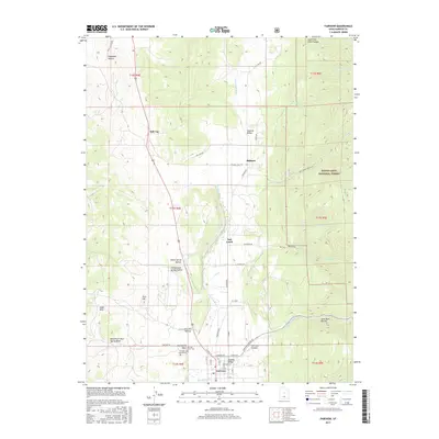 2017 Fairview2017 Print · USGSFairview and the upper Sanpete Valley appear in this detailed study of central Utah’s agricultural and mountain interface. Genealogists can locate family plots in the Fairview Upper Cem or Fairview Lower Cem, while others can trace early routes through Milburn or along the San Pitch River.
 - 2020 Map of Fairview, 2020 Print
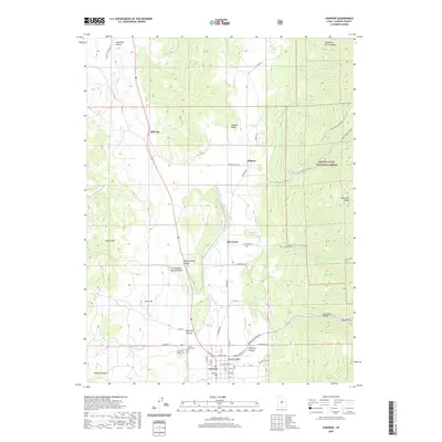 2020 Fairview2020 Print · USGSThe Sanpete Valley comes alive in this contemporary survey of its northern reaches, where the San Pitch River nourishes the landscape. Researchers can pinpoint ancestral sites at Fairview Lower Cem or trace old road networks through Milburn and Hill Top.
 - 2023 Map of Fairview, 2023 Print
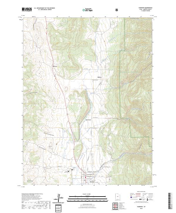 2023 Fairview2023 Print · USGSSanpete Valley life continues along the San Pitch River as the high Wasatch peaks look on. Researchers can locate family sites near the Fairview Lower Cem, explore the small community of Milburn, or trace the winding Fairview Canyon Rd.
End of results
Showing maps 1-13 of 13
Top cities near Milburn
- Mount Pleasant historical maps
- Moroni historical maps
- Fairview historical maps
- Spring City historical maps
- Fountain Green historical maps
- Wales historical maps
Frequently asked questions
- What are the different types of historical maps available for Milburn?
- What is the oldest map of Milburn?
- Where can I purchase historical maps of Milburn for my home or office?
- Where can I download high-res historical maps of Milburn?
- Are there historical topographic maps available for Milburn?
- Is there historical aerial imagery available for Milburn?
- Where are historical maps of Milburn sourced from?