2000s (21st Century) Maps of Sevier County, Utah
Explore 83 historic maps of Sevier County from the 2000s (21st Century). These maps offer a rare glimpse into what life looked like during the 2000s — showing old roads, neighborhoods, homes, and landmarks that have changed or disappeared over time.
Whether you're researching your family's past, planning a metal detecting trip, or studying how Sevier County's landscape evolved across the 2000s, these high-resolution maps are a powerful tool for exploring the history of this region.
- Focus on a specific era: All maps on this page are from the 2000s, giving you a focused view of this time period.
- See what’s changed: Compare century-old streets, trails, and buildings to today's modern landscape using overlays and satellite layers.
- Research with precision: Use these maps for genealogy, historical research, land use analysis, or educational projects.
- View, download, or print: Maps are fully viewable online in high resolution, and can be downloaded or printed for your own records.
Start exploring Sevier County's history through authentic maps from the 2000s. This is your window into the past.
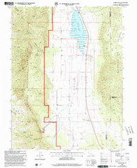
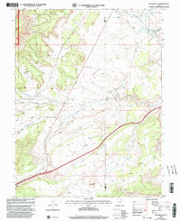
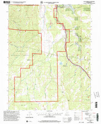
Sevier County, UT maps
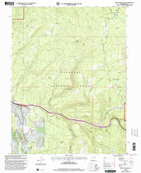
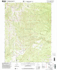
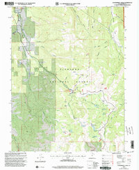
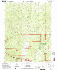
(83)- 2001 Map of Monroe Peak, 2003 Print
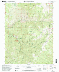
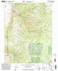 2001 Monroe Peak2003 Print · USGSThe high plateaus of Sevier County come to life in this early 2000s survey, detailing a landscape shaped by forest management and water rights. Trace the historic South Bend Canal or locate local landmarks like Monroe Peak and Fitzgerald Park.
 - 2001 Map of Old Woman Plateau, 2003 Print
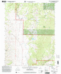
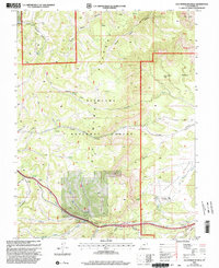 2001 Old Woman Plateau2003 Print · USGSHigh desert plateaus and forest boundaries meet in Sevier County at the turn of the millennium. Researchers can trace the ranching and mining history of the area through landmarks like Oak Spring Ranch, Emigrant Pass, and the Mines near Coal Mine Creek.
 - 2001 Map of Elsinore, 2003 Print
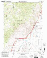 2001 Elsinore2003 Print · USGSThe Sevier Valley at the turn of the millennium was a hub of irrigation-based agriculture and small-town life. Researchers can trace the path of historic waterworks like the Elsinore Canal and locate family landmarks in Elsinore, Joseph, and Monroe.
 - 2001 Map of Joseph Peak, 2003 Print
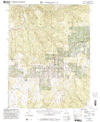 2001 Joseph Peak2003 Print · USGSThe high peaks and deep hollows of the Millard-Sevier county line are mapped here at the start of the millennium. Researchers can trace remote trails and 4WD tracks to high-country landmarks like Joseph Peak, Indian Flat, and the Gardener Hollow Reservoirs.
 - 2001 Map of Steves Mountain, 2003 Print
 2001 Steves Mountain2003 Print · USGSThe high basins and forest lands of Sevier County are captured here at the turn of the millennium. Researchers can trace the path of Salina Creek to find early industry and landmarks like Anthony Flat, Beanies Hole, and several Mines.
 - 2001 Map of Burrville, 2003 Print
 2001 Burrville2003 Print · USGSThe rural community of Burrville and the high country of the Fishlake National Forest are shown here at the start of the millennium. Researchers can trace the legacy of early settlers at Burrville Cem and locate historic water sources like Torgerson Spring or the Old Bamberger Road.
 - 2001 Map of Annabella, 2003 Print
 2001 Annabella2003 Print · USGSSevier County's valley floor was a complex network of irrigation and small-town life at the turn of the millennium. Researchers can trace the paths of the Prattsville Canal, locate South Sevier High School in Monroe, or explore the high-elevation terrain of Glenwood Mountain.
 - 2001 Map of Forsyth Reservoir, 2003 Print
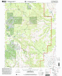
 2001 Forsyth Reservoir2003 Print · USGSSevier and Wayne counties are captured at the turn of the millennium as a network of reservoirs and springs within the Fishlake National Forest. Researchers can trace water sources from Zedds Meadows down to Forsyth Reservoir and the Fremont River.
 - 2001 Map of White Pine Peak, 2003 Print
 2001 White Pine Peak2003 Print · USGSThe high wilderness of Sevier County is documented here at the turn of the millennium, showing a landscape of deep canyons and forest ridges. Trace high-clearance 4WD routes to remote landmarks like The Elbow, White Pine Peak, and Burnt Hollow.
 - 2001 Map of Scipio Lake, 2003 Print
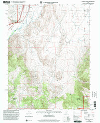
 2001 Scipio Lake2003 Print · USGSMillard County at the start of the twenty-first century reveals a landscape of high-altitude canyons and vital water sources. Researchers can trace the drainage of Round Valley Creek into Scipio Lake or locate remote landmarks like Maple Grove and Dairy Knoll.
 - 2001 Map of Walker Flat, 2003 Print
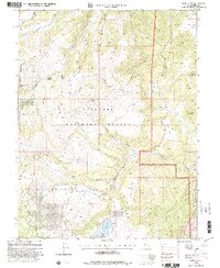
 2001 Walker Flat2003 Print · USGSThe high plateau of Sevier and Emery counties is captured here at the turn of the millennium. Researchers can trace the region's mining legacy through the Dog Valley Mine, Browning Mine, and various unnamed prospects along Ivie Creek.
 - 2001 Map of Yogo Creek, 2003 Print
 2001 Yogo Creek2003 Print · USGSHigh in the Sevier County mountains at the turn of the millennium, this survey details a landscape of timber and grazing. Researchers can trace forest management sites like Meadow Gulch Administrative Site and geographic landmarks such as Maroni Peak and the Beaver Dams.
 - 2001 Map of Mount Terrill, 2003 Print
 2001 Mount Terrill2003 Print · USGSSevier County high country is documented here at the turn of the millennium, showing a landscape of alpine peaks and forest management. Researchers can trace historic routes like Cedars Dugway and locate high-elevation landmarks from Daniels Pass to Fish Lake.
 - 2001 Map of Marysvale Canyon, 2003 Print
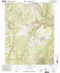
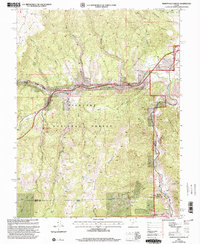 2001 Marysvale Canyon2003 Print · USGSThe Sevier River corridor in central Utah comes alive in this late-twentieth-century study of the canyon country. Genealogists and historians can trace old mining prospects, high-altitude water sources like Willow Lake, and local landmarks from Sevier to the Big Rock Candy Mountain.
 - 2001 Map of Johns Peak, 2003 Print
 2001 Johns Peak2003 Print · USGSThe Fishlake National Forest high country comes into focus at the turn of the century, showing a remote landscape of peaks and high meadows. Researchers can trace land use through Jim's Farm, old Mine sites, and landmarks like Sign Board Flat.
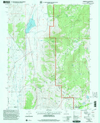
 - 2001 Map of Aurora, 2003 Print
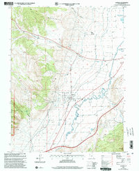 2001 Aurora2003 Print · USGSThe town of Aurora and the Sevier River valley are shown at the turn of the millennium, showcasing a high-desert landscape shaped by intensive irrigation. Researchers can trace the paths of the Vermillion Canal and Piute Canal or locate local landmarks like the town Cem and Redmond Lake.
 - 2001 Map of Gooseberry Creek, 2003 Print
 2001 Gooseberry Creek2003 Print · USGSHigh in the Sevier County mountains at the turn of the millennium, this area shows a landscape defined by water management and forest recreation. Trace the remote network of 4WD roads connecting high-elevation sites like Salina Reservoir, German Flat, and the Gooseberry Campground.
 - 2001 Map of Boobe Hole Reservoir, 2003 Print
 2001 Boobe Hole Reservoir2003 Print · USGSHigh in the Fishlake National Forest at the turn of the millennium, this map documents a landscape of essential water sources and mountain terrain. Trace local landmarks like the Boobe Hole Reservoir, Mormon Mountain, and the Salt Lake Meridian across this remote part of Sevier County.
 - 2001 Map of Fish Lake, 2003 Print
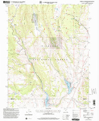
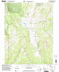
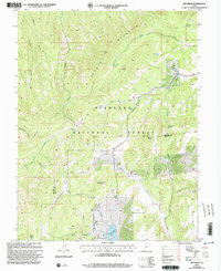
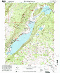 2001 Fish Lake2003 Print · USGSThe alpine basins and high plateaus of Sevier County are captured here at the turn of the millennium. Outdoor historians and researchers can trace established sites like Fish Lake Campground and remote landmarks such as Elias Wells or Mytoge Mountain.2 unique versions available
 - 2001 Map of Koosharem, 2003 Print
 2001 Koosharem2003 Print · USGSKoosharem and the eastern edge of the Fishlake National Forest are captured here at the turn of the millennium. Researchers can locate the Koosharem Cem, trace the Aqueduct in Grass Valley, and find landmarks like Milos Kitchen.
 - 2001 Map of Water Hollow Ridge, 2003 Print
 2001 Water Hollow Ridge2003 Print · USGSThe high forest country of Sevier County comes into focus in this late-twentieth-century revision, showing the intricate watershed of the Fishlake National Forest. Trace family land use near Water Hollow Ridge, the Gaging Station, and numerous family-named springs like Wigwam Spring.
 - 2001 Map of Red Ridge, 2003 Print
 2001 Red Ridge2003 Print · USGSHigh-desert peaks and national forest boundaries define the Millard and Sevier County line during the early 2000s. Researchers can trace remote water sources like Bull Valley Spring and navigate by landmarks like Granddad Peak and Three Creeks Reservoir.
 - 2001 Map of Trail Mountain, 2003 Print
 2001 Trail Mountain2003 Print · USGSHigh-altitude forest and mountain terrain in central Utah are documented here at the turn of the millennium. Researchers can trace historic access routes and water sources like Three Creeks Reservoir, Sawmill Bench, and the winding 4WD Trail.
 - 2001 Map of Antelope Range, 2003 Print
 2001 Antelope Range2003 Print · USGSThe Sevier River valley comes into focus in the early 2000s, showing the settled corridor between Joseph and Monroe alongside the Antelope Range. Researchers can trace irrigation networks like Bentleson Ditch and find local landmarks such as Bald Knoll and the Graveyard in Joseph Hollow.
 - 2001 Map of Mount Catherine, 2003 Print
 2001 Mount Catherine2003 Print · USGSThe high Pahvant Range at the turn of the millennium reveals a landscape of remote ridges and vital forest springs. Outdoor historians can trace recreation and water sources across Fishlake National Forest, from Copley's Cove Campground to Shingle Mill Spring.
Showing maps 1-25 of 83
Top cities of Sevier County
- Richfield historical maps
- Salina historical maps
- Monroe historical maps
- Aurora historical maps
- Redmond historical maps
- Elsinore historical maps
See more
Frequently asked questions
- What are the different types of historical maps available for Sevier County?
- What is the oldest map of Sevier County?
- Where can I purchase historical maps of Sevier County for my home or office?
- Where can I download high-res historical maps of Sevier County?
- Are there historical topographic maps available for Sevier County?
- Is there historical aerial imagery available for Sevier County?
- Where are historical maps of Sevier County sourced from?