Old Maps of Sevier, Utah for Metal Detecting
Plan your next treasure hunt with 13 historic maps of Sevier. Find old homesites, ghost towns, trails, and gathering spots that may be lost to time — perfect for identifying promising metal detecting locations.
- Locate forgotten sites: Uncover places like long-lost settlements, abandoned rail lines, or gathering spots.
- Plan better hunts: Use map overlays combined with LiDAR or satellite views to narrow in on historically rich areas.
- Made for detectorists: Thousands of hobbyists use these maps to discover relics, coins, and hidden history.
Use these historic maps to boost your research and find new opportunities beneath the surface of Sevier.
Sevier, UT maps
(13)- 1885 Map of Beaver
 1885 Beaver1885 Print · USGSSouth-central Utah in the 1880s was a landscape of high plateaus and valley settlements tied to the lifelines of the Sevier River and Beaver Creek. Family researchers can trace early town layouts in Beaver and Fillmore or locate rural outposts like Minersville and Kanosh.5 unique versions available
 - 1932 Map of Sevier, 1975 Print
 1932 Sevier1975 Print · USGSThe high plateau country of central Utah comes into focus in the early 1930s, showing a landscape defined by the Denver & Rio Grande Western railroad and remote mountain peaks. Genealogists and local historians can trace family-named landmarks like Parker Ranch or locate early forest service outposts at Rockwood Ranger Sta.
 - 1935 Map of Sevier
 1935 Sevier1935 Print · USGSThe high country of Sevier and Millard Counties is captured here in the mid-1930s, documenting the early forest management and transit routes of the era. Genealogists and historians can trace old homesteads like Parker Ranch and find remote outposts such as Rockwood Ranger Sta and Pavant Ranger Sta.3 unique versions available
 - 1953 Map of Richfield, 1963 Print
 1953 Richfield1963 Print · USGSCentral Utah in the early fifties reveals a complex geography of high plateaus and desert basins tied together by the Union Pacific rail lines. Genealogists and historians can trace family roots in Richfield or Kanosh and locate remote operations like the Blue Star Mine or Newhouse.3 unique versions available
 - 1958 Map of Richfield
 1958 Richfield1958 Print · USGSCentral Utah in the late fifties shows a landscape of mountain forests and desert basins connected by the Union Pacific Railroad. Genealogists and historians can trace rail stops at Nada Station, mines like the Blue Star Mine, and tribal lands of the Paiute Indian Reservation.2 unique versions available
 - 1980 Map of Richfield, 1987 Print
 1980 Richfield1987 Print · USGSCentral Utah in the early eighties shows a landscape of volcanic fields and high mountain forests. Genealogists can trace family roots through the Sevier River valley in Richfield, Fillmore, and Monroe, or follow the Union Pacific rail lines.2 unique versions available
 - 1981 Map of Marysvale Canyon
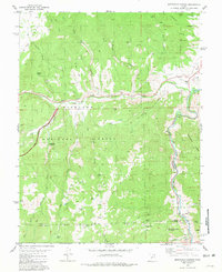 1981 Marysvale Canyon1981 Print · USGSThe Sevier River canyon in the early eighties shows a landscape shaped by industrial mining and heavy rail transport. You can trace the Denver and Rio Grande Western line past Big Rock Candy Mountain or locate high-altitude workings like the Yellow Cougar Mine.2 unique versions available
 - 2001 Map of Marysvale Canyon, 2003 Print
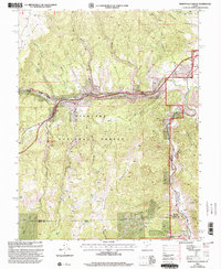 2001 Marysvale Canyon2003 Print · USGSThe Sevier River corridor in central Utah comes alive in this late-twentieth-century study of the canyon country. Genealogists and historians can trace old mining prospects, high-altitude water sources like Willow Lake, and local landmarks from Sevier to the Big Rock Candy Mountain.
 - 2011 Map of Marysvale Canyon, 2011 Print
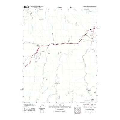 2011 Marysvale Canyon2011 Print · USGSMarysvale Canyon and the Sevier River valley are shown here in the early twenty-first century, capturing a corridor of historic mining and mountain transit. Researchers can locate specific sites like the Yellow Cougar Mine, Big Rock Candy Mountain, and the settlement of Belknap.
 - 2014 Map of Marysvale Canyon, 2014 Print
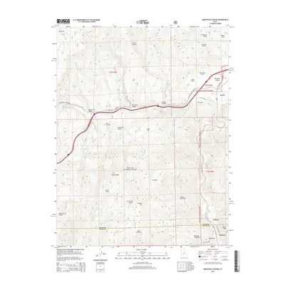 2014 Marysvale Canyon2014 Print · USGSThe Sevier River corridor and the Tushar Mountains are documented here during the early twenty-first century. Researchers can trace historical routes and settlements like Hoovers, Pittsburg, and the iconic Big Rock Candy Mtn.
 - 2017 Map of Marysvale Canyon, 2017 Print
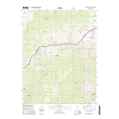 2017 Marysvale Canyon2017 Print · USGSThe Sevier River corridor and the Tushar Mountains are captured here in the late twenty-teens, showcasing a landscape shaped by narrow canyons and high peaks. Researchers can trace the proximity of settlements like Belknap and Pittsburg to the geological wonder of Big Rock Candy Mtn.
 - 2020 Map of Marysvale Canyon, 2020 Print
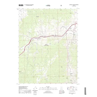 2020 Marysvale Canyon2020 Print · USGSThe Sevier River corridor in the Tushar Mountains is revealed here as it appeared in 2020. Researchers can trace the junction of Fremont State Park and Fishlake National Forest near Big Rock Candy Mountain and Sevier.
 - 2023 Map of Marysvale Canyon, 2023 Print
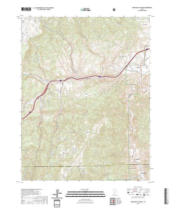 2023 Marysvale Canyon2023 Print · USGSThe high canyons and mountain ranges of Sevier and Piute counties are documented here in recent detail. Researchers can trace the Sevier River corridor through Belknap and Pittsburg or explore the trail systems surrounding Big Rock Candy Mtn.
End of results
Showing maps 1-13 of 13
Top cities near Sevier
- Richfield historical maps
- Monroe historical maps
- Elsinore historical maps
- Annabella historical maps
- Kanosh historical maps
- Central Valley historical maps
See more
Frequently asked questions
- What are the different types of historical maps available for Sevier?
- What is the oldest map of Sevier?
- Where can I purchase historical maps of Sevier for my home or office?
- Where can I download high-res historical maps of Sevier?
- Are there historical topographic maps available for Sevier?
- Is there historical aerial imagery available for Sevier?
- Where are historical maps of Sevier sourced from?