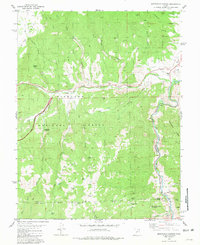
1981 Map of Marysvale Canyon
USGS Topo · Published 1981About this map
Big Rock Candy Mountain rises as a prominent landmark along the southern edge of this canyon landscape, where the Sevier River carves its way through the volcanic geology of the region. The map captures the canyon during a time when the Denver and Rio Grande Western railroad followed the river's path, complete with a Tunnel and infrastructure like a Water Tank and Substa.
Find a feature on this map
41 named features on this map. Tap any name to fly to it.
Don’t see what you’re looking for? This feature index may not catch every label — zoom into the map to look around manually.
Map Details
Editions of this 1981 Marysvale Canyon Map
2 editions found
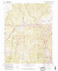
Other maps of this area
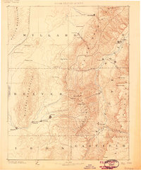
1885 · Beaver
USGS Topo · 1:250,000
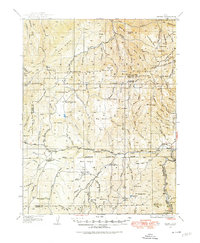
1932 · Sevier
USGS Topo · 1:62,500
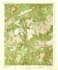
1935 · Sevier
USGS Topo · 1:62,500
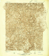
1937 · Delano Peak
USGS Topo · 1:48,000
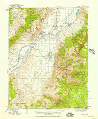
1940 · Monroe
USGS Topo · 1:62,500
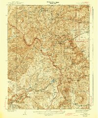
1943 · Delano Peak
USGS Topo · 1:62,500
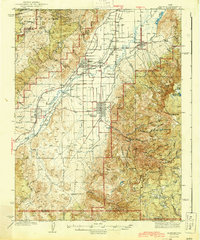
1944 · Monroe
USGS Topo · 1:62,500
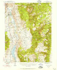
1945 · Marysvale
USGS Topo · 1:62,500
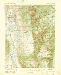
1947 · Marysvale
USGS Topo · 1:62,500
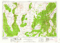
1953 · Richfield
USGS Topo · 1:250,000