Old Maps of Venice, Utah for Academic Research
Study the evolution of Venice with 12 high-resolution historic maps. Whether you're teaching, researching, or modeling changes in land use, these maps provide essential visual documentation of urban, environmental, and geographic change.
- Analyze long-term change: Track patterns in development, transportation, and natural features.
- Ideal for environmental or urban studies: Support academic projects with primary historical map data.
- Use in the classroom or lab: Educators and researchers rely on these maps to bring historical context to life.
These maps are a powerful tool for teaching, research, and visualizing how Venice has changed over the decades.
Venice, UT maps
(12)- 1885 Map of Beaver
 1885 Beaver1885 Print · USGSSouth-central Utah in the 1880s was a landscape of high plateaus and valley settlements tied to the lifelines of the Sevier River and Beaver Creek. Family researchers can trace early town layouts in Beaver and Fillmore or locate rural outposts like Minersville and Kanosh.5 unique versions available
 - 1953 Map of Richfield, 1963 Print
 1953 Richfield1963 Print · USGSCentral Utah in the early fifties reveals a complex geography of high plateaus and desert basins tied together by the Union Pacific rail lines. Genealogists and historians can trace family roots in Richfield or Kanosh and locate remote operations like the Blue Star Mine or Newhouse.3 unique versions available
 - 1958 Map of Richfield
 1958 Richfield1958 Print · USGSCentral Utah in the late fifties shows a landscape of mountain forests and desert basins connected by the Union Pacific Railroad. Genealogists and historians can trace rail stops at Nada Station, mines like the Blue Star Mine, and tribal lands of the Paiute Indian Reservation.2 unique versions available
 - 1961 Map of Richfield, 1963 Print
 1961 Richfield1963 Print · USGSRichfield and the Sevier River valley thrive in the early sixties as a center for agriculture and local industry. Genealogists and historians can trace the irrigation network of the Vermillion Canal, identify early schools like High Sch, and locate the old path of the Denver and Rio Grande Western Railroad.
 - 1980 Map of Richfield, 1987 Print
 1980 Richfield1987 Print · USGSCentral Utah in the early eighties shows a landscape of volcanic fields and high mountain forests. Genealogists can trace family roots through the Sevier River valley in Richfield, Fillmore, and Monroe, or follow the Union Pacific rail lines.2 unique versions available
 - 1986 Map of Richfield
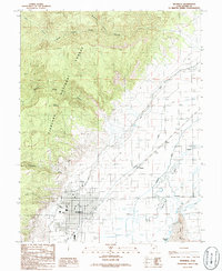 1986 Richfield1986 Print · USGSThe Sevier River valley in the mid-1980s shows a sophisticated agricultural landscape defined by historic canals and mountain vistas. Genealogists can trace family roots through Richfield, Prattsville, and Venice while locating landmarks like the local Cem and Fairground.
 - 2001 Map of Richfield, 2003 Print
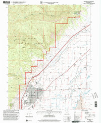 2001 Richfield2003 Print · USGSThe Sevier Valley in the early 2000s shows a landscape defined by industrial-scale irrigation and expanding mountain-edge settlements. Researchers can trace the complex water systems of the Piute Canal and find local landmarks like the Fairground and Cem in Richfield.
 - 2011 Map of Richfield, 2011 Print
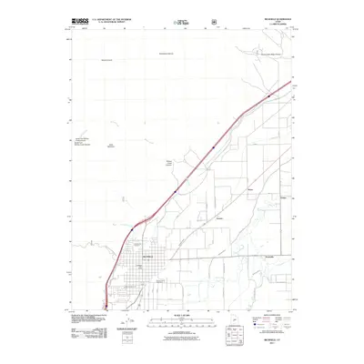 2011 Richfield2011 Print · USGSThe Sevier River valley in the early 2000s reveals a landscape defined by its vital irrigation canals and rural settlements. Genealogists and local historians can trace the foundations of Richfield, Prattsville, and Venice, alongside landmarks like the Richfield City Cemetery.
 - 2014 Map of Richfield, 2014 Print
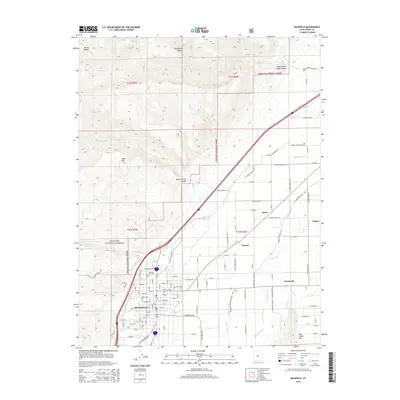 2014 Richfield2014 Print · USGSRichfield and the Sevier Valley irrigation network are captured in detail here during the early twenty-first century. Genealogists and local historians can trace the development of the county seat around the Richfield City Cem or locate outlying settlements like Prattsville and Venice.
 - 2017 Map of Richfield, 2017 Print
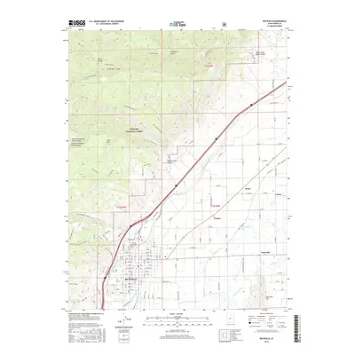 2017 Richfield2017 Print · USGSThe Sevier River valley in the late 2010s shows a landscape deeply defined by its irrigation canals and high-desert geography. Genealogists and local historians can trace the developments of Richfield, Prattsville, and Venice while locating landmarks like Snow Coll and the Richfield City Cem.
 - 2020 Map of Richfield, 2020 Print
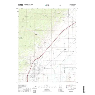 2020 Richfield2020 Print · USGSRichfield and the Sevier River valley are seen here in the modern era, showing the intersection of irrigation-driven agriculture and national forest lands. Researchers can locate family landmarks at the Richfield City Cem or trace the early industrial paths of the Old Logging Road and Sevier Valley Canal.
 - 2023 Map of Richfield, 2023 Print
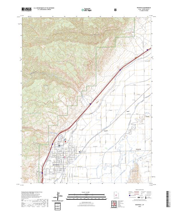 2023 Richfield2023 Print · USGSThe Sevier Valley is revealed here as a highly engineered agricultural corridor during the early twenty-first century. Genealogists and local historians can trace the vital irrigation networks and property boundaries near Richfield, Venice, and the Richfield City Cem.
End of results
Showing maps 1-12 of 12
Top cities near Venice
- Richfield historical maps
- Salina historical maps
- Monroe historical maps
- Aurora historical maps
- Redmond historical maps
- Elsinore historical maps
See more
Frequently asked questions
- What are the different types of historical maps available for Venice?
- What is the oldest map of Venice?
- Where can I purchase historical maps of Venice for my home or office?
- Where can I download high-res historical maps of Venice?
- Are there historical topographic maps available for Venice?
- Is there historical aerial imagery available for Venice?
- Where are historical maps of Venice sourced from?