Old Maps of Dry Fork, Utah for Metal Detecting
Plan your next treasure hunt with 14 historic maps of Dry Fork. Find old homesites, ghost towns, trails, and gathering spots that may be lost to time — perfect for identifying promising metal detecting locations.
- Locate forgotten sites: Uncover places like long-lost settlements, abandoned rail lines, or gathering spots.
- Plan better hunts: Use map overlays combined with LiDAR or satellite views to narrow in on historically rich areas.
- Made for detectorists: Thousands of hobbyists use these maps to discover relics, coins, and hidden history.
Use these historic maps to boost your research and find new opportunities beneath the surface of Dry Fork.
Dry Fork, UT maps
(14)- 1885 Map of Ashley
 1885 Ashley1885 Print · USGSThe Uinta Basin in the mid-1880s was a landscape defined by the winding Green River and the high peaks of the eastern Uintas. Researchers can trace early outposts like White Rocks and settlements such as Ashley and Ouray.5 unique versions available
 - 1906 Map of Marsh Peak
 1906 Marsh Peak1906 Print · USGSThe Uinta Mountains and the winding Green River corridor come alive in this survey from the early 1900s. Genealogists and historians can trace the foundations of high-country industry at Dyer Mine or locate early outposts like Dodds Cabin and Manila.2 unique versions available
 - 1908 Map of Marsh Peak
 1908 Marsh Peak1908 Print · USGSThe high Uinta wilderness along the Utah and Wyoming border is captured here during the first decade of the 1900s. Researchers can trace early industry and remote dwellings such as the Dyer Mine, Johnsons Mill, and Dodds Cabin.2 unique versions available
 - 1954 Map of Vernal, 1966 Print
 1954 Vernal1966 Print · USGSThe Green River basin and Uinta Mountains come alive in this mid-century survey of northeastern Utah and northwestern Colorado. Genealogists and researchers can trace the development of remote outposts like Little Bonanza, Artesia, and Dutch John alongside the expanding Flaming Gorge Reservoir.4 unique versions available
 - 1958 Map of Vernal
 1958 Vernal1958 Print · USGSThe Uinta Basin at the end of the fifties reveals a landscape shaped by massive river systems and burgeoning energy interests. Researchers can trace the layout of Uintah and Ouray Indian Reservation lands and industrial sites like the Gilsonite coking plant and Bonanza.
 - 1960 Map of Vernal
 1960 Vernal1960 Print · USGSNortheastern Utah was a rugged frontier of mineral extraction and federal conservation in the mid-twentieth century. Genealogists and historians can trace the growth of Vernal, locate Gilsonite mining operations near Bonanza, and explore the 1950s boundaries of Dinosaur National Monument.
 - 1966 Map of Dry Fork, 1967 Print
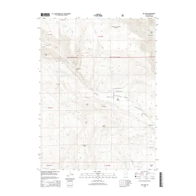
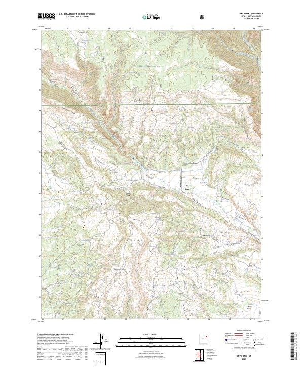
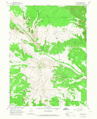 1966 Dry Fork1967 Print · USGSUintah County's high plateaus and national forest land are documented here in the mid-1960s, showing the intersection of ranching and early recreation. Researchers can locate family-named water sources like Chivers Spring and Burch Spring, the historic Old Military Reservation Boundary, and a small Cem near the Dry Fork drainage.2 unique versions available
 - 1981 Map of Dutch John, 1982 Print
 1981 Dutch John1982 Print · USGSThe high Uinta plateau and the massive reservoir system appear here as they were in the early eighties. Local researchers can trace the roads connecting Manila and Greendale, or locate remote landmarks like the Dyer Mine and Spirit Lake.2 unique versions available
 - 1996 Map of Dry Fork, 1999 Print
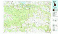
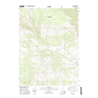
 1996 Dry Fork1999 Print · USGSUintah County in the mid-1990s shows a landscape of mountain ridges and managed forest lands just before the turn of the millennium. Researchers can trace historic water sources like Beck Spring and explore local landmarks including the Cemetery and Coal Mine Basin.
 - 2011 Map of Dry Fork, 2011 Print
 2011 Dry Fork2011 Print · USGSCovers Dry Fork, including Uintah County, United States, and other nearby areas
 - 2014 Map of Dry Fork, 2014 Print
 2014 Dry Fork2014 Print · USGSCovers Dry Fork, including Uintah County, United States, and other nearby areas
 - 2017 Map of Dry Fork, 2017 Print
 2017 Dry Fork2017 Print · USGSCovers Dry Fork, including Uintah County, United States, and other nearby areas
 - 2020 Map of Dry Fork, 2020 Print
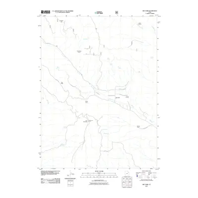
 2020 Dry Fork2020 Print · USGSCovers Dry Fork, including Uintah County, United States, and other nearby areas
 - 2023 Map of Dry Fork, 2023 Print
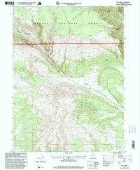
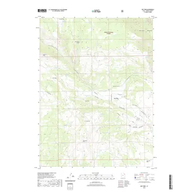
 2023 Dry Fork2023 Print · USGSThe high Uinta foothills and deep canyons of eastern Utah are documented here in recent detail. Researchers can trace rural landmarks and family locations near the Dry Fork settlement, including Dry Fork Cem, Coal Mine Basin, and Castle Cove.
End of results
Showing maps 1-14 of 14
Top cities near Dry Fork
Frequently asked questions
- What are the different types of historical maps available for Dry Fork?
- What is the oldest map of Dry Fork?
- Where can I purchase historical maps of Dry Fork for my home or office?
- Where can I download high-res historical maps of Dry Fork?
- Are there historical topographic maps available for Dry Fork?
- Is there historical aerial imagery available for Dry Fork?
- Where are historical maps of Dry Fork sourced from?