2000s (21st Century) Maps of Fairfield, Utah
Explore 20 historic maps of Fairfield from the 2000s (21st Century). These maps offer a rare glimpse into what life looked like during the 2000s — showing old roads, neighborhoods, homes, and landmarks that have changed or disappeared over time.
Whether you're researching your family's past, planning a metal detecting trip, or studying how Fairfield's landscape evolved across the 2000s, these high-resolution maps are a powerful tool for exploring the history of this region.
- Focus on a specific era: All maps on this page are from the 2000s, giving you a focused view of this time period.
- See what’s changed: Compare century-old streets, trails, and buildings to today's modern landscape using overlays and satellite layers.
- Research with precision: Use these maps for genealogy, historical research, land use analysis, or educational projects.
- View, download, or print: Maps are fully viewable online in high resolution, and can be downloaded or printed for your own records.
Start exploring Fairfield's history through authentic maps from the 2000s. This is your window into the past.
Fairfield, UT maps
(20)- 2011 Map of Mercur, 2011 Print
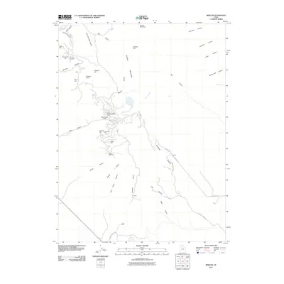 2011 Mercur2011 Print · USGSCovers Fairfield, including Eagle Mountain, Cedar Fort, and other nearby areas
 - 2011 Map of Cedar Fort, 2011 Print
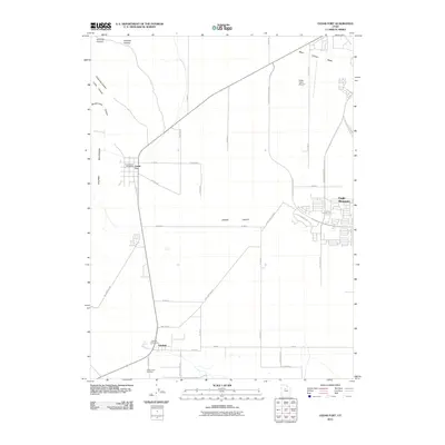 2011 Cedar Fort2011 Print · USGSCovers Fairfield, including Eagle Mountain, Cedar Fort, and other nearby areas
 - 2011 Map of Fivemile Pass, 2011 Print
 2011 Fivemile Pass2011 Print · USGSCovers Fairfield, including Utah County, Tooele County, and other nearby areas
 - 2011 Map of Goshen Pass, 2011 Print
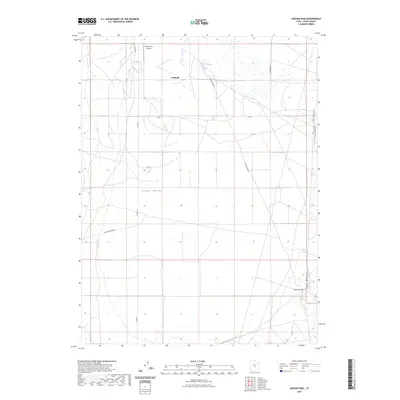
 2011 Goshen Pass2011 Print · USGSCovers Fairfield, including Eagle Mountain, Utah County, and other nearby areas
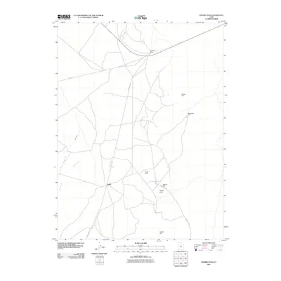
 - 2014 Map of Cedar Fort, 2014 Print
 2014 Cedar Fort2014 Print · USGSCovers Fairfield, including Eagle Mountain, Cedar Fort, and other nearby areas
 - 2014 Map of Goshen Pass, 2014 Print
 2014 Goshen Pass2014 Print · USGSCovers Fairfield, including Eagle Mountain, Utah County, and other nearby areas
 - 2014 Map of Mercur, 2014 Print
 2014 Mercur2014 Print · USGSCovers Fairfield, including Eagle Mountain, Cedar Fort, and other nearby areas
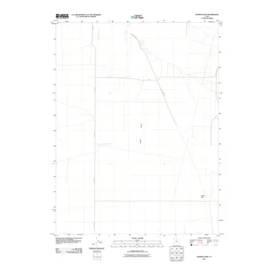
 - 2014 Map of Fivemile Pass, 2014 Print
 2014 Fivemile Pass2014 Print · USGSCovers Fairfield, including Utah County, Tooele County, and other nearby areas
 - 2017 Map of Cedar Fort, 2017 Print
 2017 Cedar Fort2017 Print · USGSCovers Fairfield, including Eagle Mountain, Cedar Fort, and other nearby areas
 - 2017 Map of Goshen Pass, 2017 Print
 2017 Goshen Pass2017 Print · USGSCovers Fairfield, including Eagle Mountain, Utah County, and other nearby areas
 - 2017 Map of Mercur, 2017 Print
 2017 Mercur2017 Print · USGSCovers Fairfield, including Eagle Mountain, Cedar Fort, and other nearby areas
 - 2017 Map of Fivemile Pass, 2017 Print
 2017 Fivemile Pass2017 Print · USGSCovers Fairfield, including Utah County, Tooele County, and other nearby areas
 - 2020 Map of Goshen Pass, 2020 Print
 2020 Goshen Pass2020 Print · USGSCovers Fairfield, including Eagle Mountain, Utah County, and other nearby areas
 - 2020 Map of Fivemile Pass, 2020 Print
 2020 Fivemile Pass2020 Print · USGSCovers Fairfield, including Utah County, Tooele County, and other nearby areas
 - 2020 Map of Cedar Fort, 2020 Print
 2020 Cedar Fort2020 Print · USGSCovers Fairfield, including Eagle Mountain, Cedar Fort, and other nearby areas
 - 2020 Map of Mercur, 2020 Print
 2020 Mercur2020 Print · USGSCovers Fairfield, including Eagle Mountain, Cedar Fort, and other nearby areas
 - 2023 Map of Goshen Pass, 2023 Print
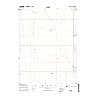
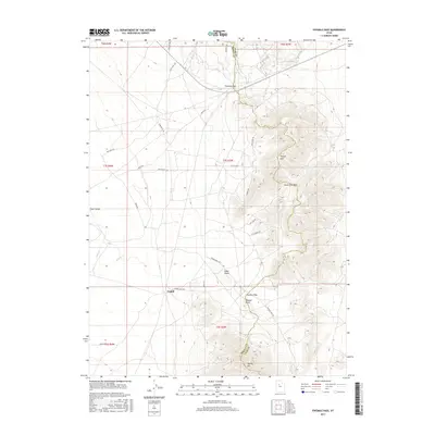
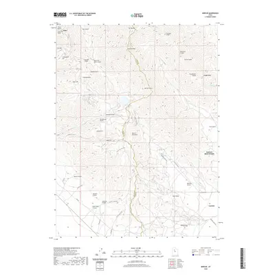
 2023 Goshen Pass2023 Print · USGSFairfield and the open basin of Cedar Valley are captured in this contemporary Utah County survey. Local historians can trace the paths of Soldiers Pass Rd and W Ten Mile Pass Rd as they converge near Goshen Pass.
 - 2023 Map of Fivemile Pass, 2023 Print
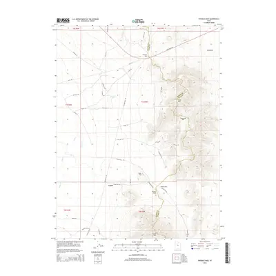
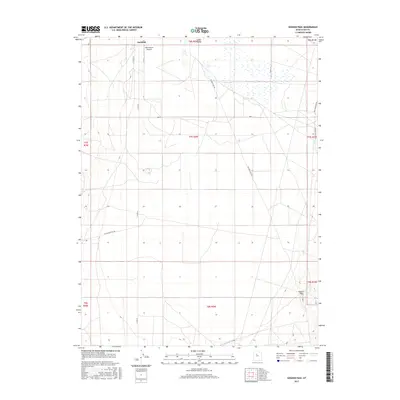
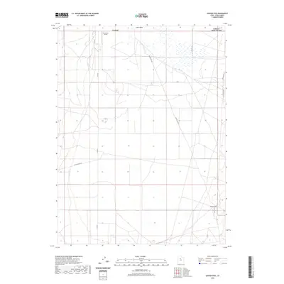
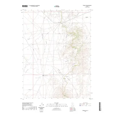 2023 Fivemile Pass2023 Print · USGSTooele and Utah counties meet at this high-desert crossroads in the early 2020s, where the Oquirrh Mountains descend into Rush Valley. Researchers can trace the routes through Fivemile Pass and Tenmile Pass or locate the historic sites of Fairfield and Topliff.
 - 2023 Map of Mercur, 2023 Print
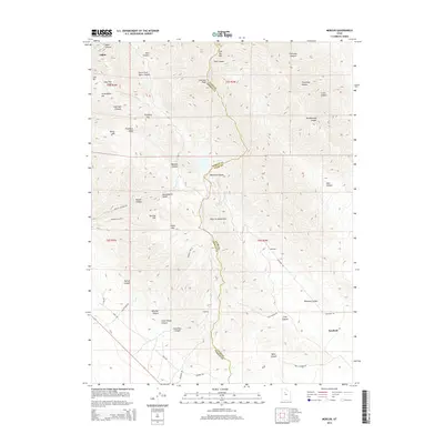
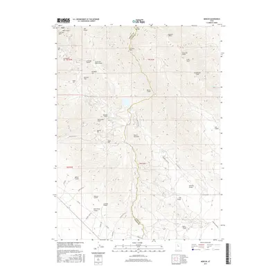
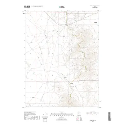
 2023 Mercur2023 Print · USGSThe Oquirrh Mountains and the high valleys of central Utah are captured here in the modern era. Genealogists and historians can trace the geography of old mining claims and settlements through landmarks like Silveropolis Hill, Fairfield, and the Violet Ray Mine Loop.
 - 2023 Map of Cedar Fort, 2023 Print
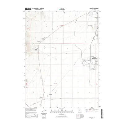
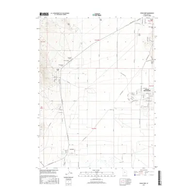
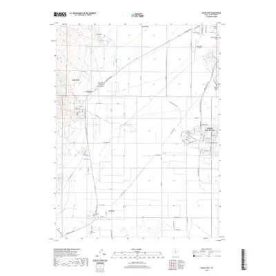
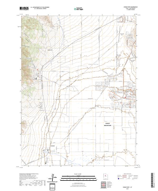 2023 Cedar Fort2023 Print · USGSThe Cedar Valley in recent years shows a striking juxtaposition of pioneer-era heritage and rapid modern expansion. Researchers can trace historical burial sites like the Fairfield Cem and Cedar Fort Pioneer Cem alongside new developments in Eagle Mountain.
End of results
Showing maps 1-20 of 20
Top cities near Fairfield
- Lehi historical maps
- Eagle Mountain historical maps
- Saratoga Springs historical maps
- Herriman historical maps
- Draper historical maps
- Bluffdale historical maps
See more
Frequently asked questions
- What are the different types of historical maps available for Fairfield?
- What is the oldest map of Fairfield?
- Where can I purchase historical maps of Fairfield for my home or office?
- Where can I download high-res historical maps of Fairfield?
- Are there historical topographic maps available for Fairfield?
- Is there historical aerial imagery available for Fairfield?
- Where are historical maps of Fairfield sourced from?