Old Maps of Fairfield, Utah for Hiking & Exploration
Hike through history with 40 historic maps of Fairfield. Explore old trails, ghost towns, and forgotten backroads — perfect for outdoor adventurers and local explorers.
- Rediscover forgotten places: Map out old mining camps, roads, and footpaths that no longer exist on modern maps.
- Layer with modern tools: Combine with LiDAR or satellite views to plan hikes through historical terrain.
- Made for exploration: Popular among hikers, overlanders, and local history lovers.
Use these maps to find adventure and explore the hidden past of Fairfield.
Fairfield, UT maps
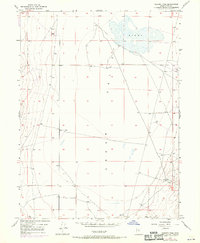
(40)- 1885 Map of Tooele Valley
 1885 Tooele Valley1885 Print · USGSThe valleys and ranges west of the Wasatch are captured here in the mid-1880s, showcasing the early mining and rail infrastructure of the region. Genealogists can trace early settlements like Grantsville, Ophir, and Stockton, or the route of the Utah and Nevada R. R.6 unique versions available
 - 1915 Map of Fairfield, 1957 Print
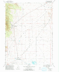
 1915 Fairfield1957 Print · USGSThe Oquirrh Mountains and Cedar Valley come alive in this early twentieth-century survey of Utah's mining and military landscapes. Genealogists and historians can trace rail stops at Fairfield Sta, mining claims at Queen Mine, and the National Cemetery.
 - 1917 Map of Fairfield
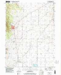
 1917 Fairfield1917 Print · USGSThe Oquirrh Mountains and Cedar Valley appear here just before the close of the first World War. Genealogists and industrial historians can trace the mining networks of Ophir, Mercur, and the Chloride Point Mine alongside the early Fairfield settlement.2 unique versions available
 - 1947 Map of Fivemile Pass, 1953 Print
 1947 Fivemile Pass1953 Print · USGSUtah's high desert reveals its mining and transit legacy in the late 1940s as the East Tintic Mountains hum with mineral extraction. Trace the storied Pony Express Route or locate historic operations like the Lehi Tintic Mine and the settlement of Topliff.
 - 1947 Map of Goshen Pass, 1970 Print
 1947 Goshen Pass1970 Print · USGSCedar Valley remains a stark and open landscape in the late 1940s, defined by its vital water sources and mountain corridors. Researchers can trace the early infrastructure of this arid basin through sites like the Sinks, several remote Well points, and the narrow transit at Goshen Pass.2 unique versions available
 - 1949 Map of Fivemile Pass
 1949 Fivemile Pass1949 Print · USGSTooele and Utah County lines intersect here in the late 1940s, revealing a landscape shaped by strategic desert passes and shifting rail lines. Trace the industrial footprint of the (Dismantled Railroad) leading to Topliff or follow the Union Pacific through Fivemile Pass.2 unique versions available
 - 1949 Map of Goshen Pass
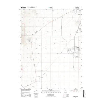
 1949 Goshen Pass1949 Print · USGSCedar Valley at the end of the 1940s reveals a sparsely settled Utah landscape defined by its high-desert hydrology and transit routes. Researchers can trace early roads leading to the Goshen Pass corridor and locate water sources like the Sinks.
 - 1953 Map of Tooele, 1968 Print
 1953 Tooele1968 Print · USGSTooele County is shown here in the 1950s, a vast landscape transitioning between the industrial growth of the Salt Lake Valley and isolated military testing grounds. Researchers can trace the routes of the Western Pacific railroad and locate historic outposts like Iosepa Ranch and St John Station.3 unique versions available
 - 1955 Map of Tooele, 1958 Print
 1955 Tooele1958 Print · USGSTooele County and the Great Salt Lake are captured here during the mid-fifties, an era of burgeoning military testing and industrial mining. Researchers can trace the rail sidings at Salduro Station, the grounds of the Deseret Chemical Corps Depot, and the International Smelting Co facilities.3 unique versions available
 - 1968 Map of Mercur, 1970 Print
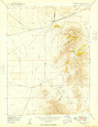
 1968 Mercur1970 Print · USGSThe Oquirrh Mountains mining district comes into sharp focus during the late 1960s, revealing a landscape of industrial extraction and high-altitude settlements. Trace the legacy of gold and silver production at the Geyser Marion Mine or locate the historical footprints of Sunshine (Site) and Manning (Site).2 unique versions available
 - 1968 Map of Cedar Fort, 1970 Print
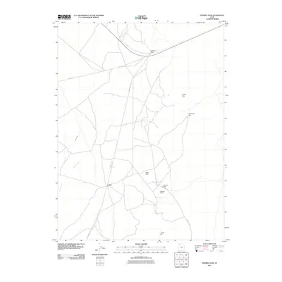
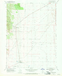 1968 Cedar Fort1970 Print · USGSCedar Valley and the Oquirrh foothills appear here in the late sixties, capturing a landscape deeply rooted in pioneer and military history. Trace the legacy of the Old West at the Stage Coach Inn and find the Old Railroad Grade running through Fairfield.
 - 1975 Map of Cedar Fort, 1986 Print
 1975 Cedar Fort1986 Print · USGSThe western Cedar Valley in the mid-1970s remains a landscape shaped by early frontier history and military outposts. Researchers can trace the legacy of the Old West at the Stage Coach Inn and Camp Floyd, or follow the path of the Old Grade Railroad.
 - 1979 Map of Rush Valley
 1979 Rush Valley1979 Print · USGSTooele and Utah Counties during the late seventies reveal a unique transition from historic mining and ranching to modern military operations. Researchers can trace the Union Pacific Railroad past historic sites like Fairfield and mining camps such as Ophir.2 unique versions available
 - 1993 Map of Cedar Fort
 1993 Cedar Fort1993 Print · USGSCedar Valley is shown here in the late twentieth century, preserved as a corridor of frontier transportation and military history. Genealogists and historians can trace the Pony Express and Overland Stage Route through Fairfield and locate the historic Stage Coach Inn.
 - 1993 Map of Mercur
 1993 Mercur1993 Print · USGSThe Oquirrh Mountains in the 1990s show a landscape shaped by Utah's mining legacy. Genealogists and historians can trace the remnants of historic camps like Mercur (Site) and Sunshine (Site) alongside the massive Open Pit Mine.
 - 1993 Map of Goshen Pass
 1993 Goshen Pass1993 Print · USGSCedar Valley in the early nineties reveals a landscape of ranching infrastructure and unique geology. Genealogists and historians can trace the remote water sources and cattle-country markers such as Yellowbrush Well, the Sinks, and Goshen Pass.
 - 1993 Map of Fivemile Pass
 1993 Fivemile Pass1993 Print · USGSTooele and Utah Counties are shown in the 1990s as a landscape shaped by mining and historic transit corridors. Trace the path of the Pony Express and Overland Stage Route past Topliff, Fivemile Pass, and numerous Open Pit Mines.2 unique versions available
 - 1997 Map of Cedar Fort, 2001 Print
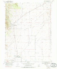
 1997 Cedar Fort2001 Print · USGSCedar Valley and the Oquirrh Mountains foothills are captured in the late nineties as modern residential growth begins to meet deep pioneer history. You can trace the Historic Pony Express National Trail through Fairfield or locate the old Camp Floyd State Historical Site.
 - 1997 Map of Goshen Pass, 2001 Print
 1997 Goshen Pass2001 Print · USGSCedar Valley and the northern Sinks are captured in the late nineties as this high-desert basin began to change. Trace the geography of Goshen Pass or locate old water sources like Yellowbrush Well and several Dry Wells.
 - 1997 Map of Mercur, 2002 Print
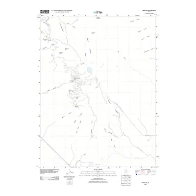
 1997 Mercur2002 Print · USGSThe Oquirrh Mountains in the late twentieth century reveal a landscape of deep mining history and forgotten town sites. Genealogists and historians can trace the foundations of Mercur, Manning, and Sunshine alongside an Old Railroad Grade.
 - 2011 Map of Mercur, 2011 Print
 2011 Mercur2011 Print · USGSCovers Fairfield, including Eagle Mountain, Cedar Fort, and other nearby areas
 - 2011 Map of Cedar Fort, 2011 Print
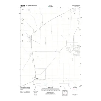 2011 Cedar Fort2011 Print · USGSCovers Fairfield, including Eagle Mountain, Cedar Fort, and other nearby areas
 - 2011 Map of Fivemile Pass, 2011 Print
 2011 Fivemile Pass2011 Print · USGSCovers Fairfield, including Utah County, Tooele County, and other nearby areas
 - 2011 Map of Goshen Pass, 2011 Print
 2011 Goshen Pass2011 Print · USGSCovers Fairfield, including Eagle Mountain, Utah County, and other nearby areas
 - 2014 Map of Cedar Fort, 2014 Print
 2014 Cedar Fort2014 Print · USGSCovers Fairfield, including Eagle Mountain, Cedar Fort, and other nearby areas
Showing maps 1-25 of 40
Top cities near Fairfield
- Lehi historical maps
- Eagle Mountain historical maps
- Saratoga Springs historical maps
- Herriman historical maps
- Draper historical maps
- Bluffdale historical maps
See more
Frequently asked questions
- What are the different types of historical maps available for Fairfield?
- What is the oldest map of Fairfield?
- Where can I purchase historical maps of Fairfield for my home or office?
- Where can I download high-res historical maps of Fairfield?
- Are there historical topographic maps available for Fairfield?
- Is there historical aerial imagery available for Fairfield?
- Where are historical maps of Fairfield sourced from?