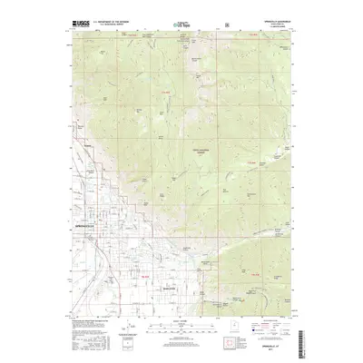
Old Maps of Mapleton, Utah for Genealogy
Trace your family roots with 24 historic maps of Mapleton. These high-res maps reveal old neighborhoods, homesites, landmarks, and streets — helping you uncover where your ancestors lived and how the area evolved over time.
- Explore historic neighborhoods: Identify where your relatives may have lived in the 1800s or 1900s.
- Compare maps over time: Trace the changes in streets, buildings, and landmarks for multi-generational research.
- Perfect for genealogy & ancestry research: Used by family historians and researchers to map out lineage and migration.
These maps are an incredible resource for exploring your personal connection to Mapleton's past.
Mapleton, UT maps
(24)- 1885 Map of Salt Lake
 1885 Salt Lake1885 Print · USGSThe Wasatch Front and surrounding high valleys appear here in the mid-1880s during a period of rapid mining and rail expansion. Genealogists and historians can trace early town sites and mining camps including Alta, Silver City, and the military grounds of Fort Douglass.7 unique versions available
 - 1948 Map of Springville, 1959 Print
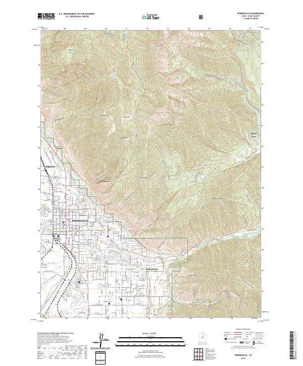
 1948 Springville1959 Print · USGSSpringville and the southern Wasatch Front are shown here just after the war as industrial and agricultural centers. Genealogists can locate family sites near City Cem or trace school locations like Jefferson Sch and Lincoln Sch.4 unique versions available
 - 1949 Map of Provo, 1959 Print
 1949 Provo1959 Print · USGSThe Utah Valley thrived in the late post-war years as industrial growth and educational institutions expanded along the eastern shore of Utah Lake. Researchers can locate family roots in settlements like Palmyra and Leland or trace the industrial sites at Ironton and the Sugar Refinery.
 - 1949 Map of Spanish Fork Peak, 1960 Print
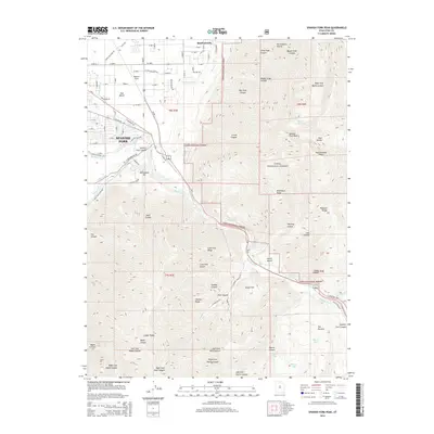
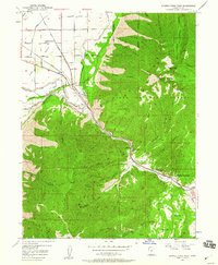 1949 Spanish Fork Peak1960 Print · USGSIn the shadow of the Wasatch Range in the late 1940s, this area shows a fascinating mix of canyon industry and alpine wilderness. Researchers can trace the Denver and Rio Grande Western rail lines past Mapleton Siding to the Old Spanish Mine and Castilla Springs.4 unique versions available
 - 1950 Map of Springville
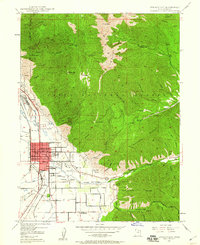
 1950 Springville1950 Print · USGSSpringville and Mapleton sit at the foot of the Wasatch Range in the 1950s, showing a transition from town life to mountain wilderness. Genealogists can locate family sites near Evergreen Cem or trace industry along the Utah Railway and Ironton.
 - 1951 Map of Spanish Fork Peak
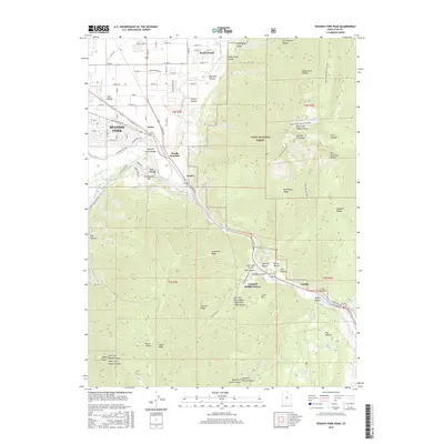
 1951 Spanish Fork Peak1951 Print · USGSThe foothills of the Wasatch Range come alive in this early 1950s record of the settlement and industry near Mapleton. Trace the path of the Denver and Rio Grande Western Railway past the Dream Mine and the mineral waters of Castilla.
 - 1954 Map of Salt Lake City, 1964 Print
 1954 Salt Lake City1964 Print · USGSThe Wasatch Front and Uinta Mountains are captured here in the mid-fifties, showing the industrial heart of Utah and its high mountain wilderness. Researchers can locate vanished infrastructure and landmarks like the Geneva Steel Plant, Bingham Canyon Mine, and the Utah State Prison.4 unique versions available
 - 1958 Map of Salt Lake City
 1958 Salt Lake City1958 Print · USGSThe Wasatch Front and Uinta Basin are captured during a period of significant post-war growth and industrial development. Researchers can trace the mid-century rail lines of the Bamberger RR and locate sites like the Kiegley Limestone Quarry and Camp Williams Military Reservation.
 - 1960 Map of Salt Lake City
 1960 Salt Lake City1960 Print · USGSThe Wasatch Front and High Uintas are captured mid-century as the Salt Lake Valley underwent significant postwar expansion. Genealogists and historians can trace rail lines like the Union Pacific and locate established landmarks such as Fort Douglas, Camp Williams, and the Bingham Canyon Mine.
 - 1986 Map of Provo
 1986 Provo1986 Print · USGSThe Utah Valley during the mid-eighties shows a bustling corridor of growth between the mountains and Utah Lake. Genealogists and historians can trace the rail lines of the Union Pacific RR through settlements like Springville, Spanish Fork, and Payson.
 - 1993 Map of Springville, 1994 Print
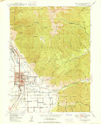
 1993 Springville1994 Print · USGSSpringville and Mapleton are captured in the early nineties, showing a landscape where residential growth meets the canyons of the Wasatch Range. You can trace local landmarks like City Cem, the Drive-in Theater, and the Denver and Rio Grande Western railroad.
 - 1994 Map of Spanish Fork Peak
 1994 Spanish Fork Peak1994 Print · USGSThe Wasatch Front meets the Utah Valley in the 1990s, revealing a landscape of high alpine ridges and critical canyon corridors. Trace the path of the Denver and Rio Grande Western through Castilla or locate the historic Dream Mine and Old Spanish Mine.
 - 1998 Map of Springville, 2000 Print
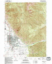
 1998 Springville2000 Print · USGSThe transition from the Utah Valley floor to the high peaks of the Wasatch Range is captured here during the late nineties. Genealogists and researchers can trace local landmarks like Evergreen Cem, the Drive-in Theater, and the Union Pacific line.
 - 1998 Map of Spanish Fork Peak, 2002 Print
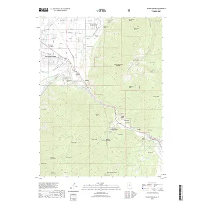
 1998 Spanish Fork Peak2002 Print · USGSThe foothills and high peaks of the Uinta National Forest meet the developing valley during the late nineties. Genealogists and researchers can trace local landmarks like Mapleton Siding, the Dream Mine, and the mineral waters of Castilla Springs (Sulphur).
 - 2011 Map of Spanish Fork Peak, 2011 Print
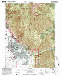
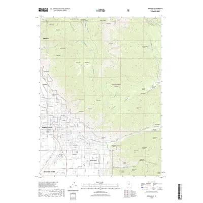
 2011 Spanish Fork Peak2011 Print · USGSCovers Mapleton, including Spanish Fork, Moark Junction, and other nearby areas
 - 2011 Map of Springville, 2011 Print
 2011 Springville2011 Print · USGSCovers Mapleton, including Provo, Spanish Fork, and other nearby areas
 - 2014 Map of Springville, 2014 Print
 2014 Springville2014 Print · USGSCovers Mapleton, including Provo, Spanish Fork, and other nearby areas
 - 2014 Map of Spanish Fork Peak, 2014 Print
 2014 Spanish Fork Peak2014 Print · USGSCovers Mapleton, including Spanish Fork, Moark Junction, and other nearby areas
 - 2017 Map of Springville, 2017 Print
 2017 Springville2017 Print · USGSCovers Mapleton, including Provo, Spanish Fork, and other nearby areas
 - 2017 Map of Spanish Fork Peak, 2017 Print
 2017 Spanish Fork Peak2017 Print · USGSCovers Mapleton, including Spanish Fork, Moark Junction, and other nearby areas
 - 2020 Map of Spanish Fork Peak, 2020 Print
 2020 Spanish Fork Peak2020 Print · USGSCovers Mapleton, including Spanish Fork, Moark Junction, and other nearby areas
 - 2020 Map of Springville, 2020 Print
 2020 Springville2020 Print · USGSCovers Mapleton, including Provo, Spanish Fork, and other nearby areas
 - 2023 Map of Spanish Fork Peak, 2023 Print
 2023 Spanish Fork Peak2023 Print · USGSSpanish Fork and Mapleton are shown at the edge of the Wasatch Range in this contemporary survey of the Utah Valley. Genealogists and local historians can trace irrigation networks like the Strawberry Highline Canal or locate the site of Castilla and Castilla Springs in the canyon.
 - 2023 Map of Springville, 2023 Print
 2023 Springville2023 Print · USGSThe Utah Valley meets the towering peaks of the Wasatch Range in this modern survey of the growing Wasatch Front. Researchers can trace local heritage through the Springville City Cem or follow the Bonneville Shoreline Trl as it winds past Buckley Mtn.
End of results
Showing maps 1-24 of 24
Top cities near Mapleton
- Provo historical maps
- Orem historical maps
- Spanish Fork historical maps
- Springville historical maps
- Payson historical maps
- Vineyard historical maps
See more
Top neighborhoods of Mapleton
Frequently asked questions
- What are the different types of historical maps available for Mapleton?
- What is the oldest map of Mapleton?
- Where can I purchase historical maps of Mapleton for my home or office?
- Where can I download high-res historical maps of Mapleton?
- Are there historical topographic maps available for Mapleton?
- Is there historical aerial imagery available for Mapleton?
- Where are historical maps of Mapleton sourced from?