2000s (21st Century) Maps of Pleasant Grove, Utah
Explore 20 historic maps of Pleasant Grove from the 2000s (21st Century). These maps offer a rare glimpse into what life looked like during the 2000s — showing old roads, neighborhoods, homes, and landmarks that have changed or disappeared over time.
Whether you're researching your family's past, planning a metal detecting trip, or studying how Pleasant Grove's landscape evolved across the 2000s, these high-resolution maps are a powerful tool for exploring the history of this region.
- Focus on a specific era: All maps on this page are from the 2000s, giving you a focused view of this time period.
- See what’s changed: Compare century-old streets, trails, and buildings to today's modern landscape using overlays and satellite layers.
- Research with precision: Use these maps for genealogy, historical research, land use analysis, or educational projects.
- View, download, or print: Maps are fully viewable online in high resolution, and can be downloaded or printed for your own records.
Start exploring Pleasant Grove's history through authentic maps from the 2000s. This is your window into the past.
Pleasant Grove, UT maps
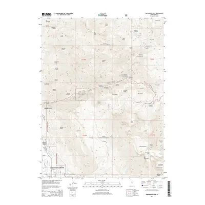
(20)- 2011 Map of Timpanogos Cave, 2011 Print
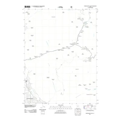 2011 Timpanogos Cave2011 Print · USGSCovers Pleasant Grove, including Highland, Alpine, and other nearby areas
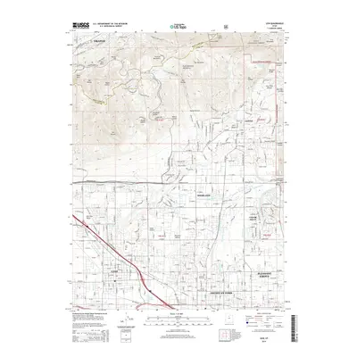
 - 2011 Map of Orem, 2011 Print
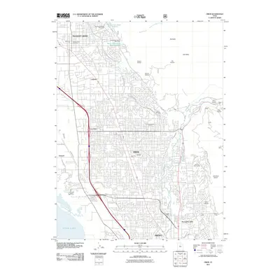 2011 Orem2011 Print · USGSCovers Pleasant Grove, including Provo, Orem, and other nearby areas
 - 2011 Map of Lehi, 2011 Print
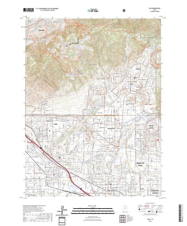
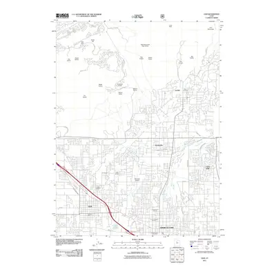 2011 Lehi2011 Print · USGSCovers Pleasant Grove, including Lehi, Draper, and other nearby areas
 - 2011 Map of Pelican Point, 2011 Print
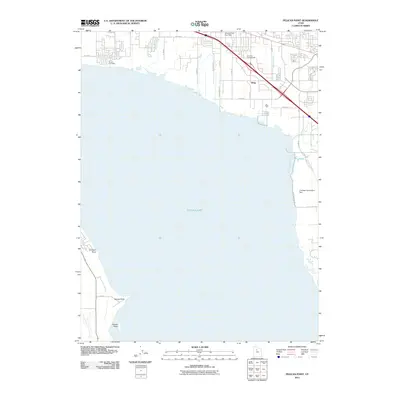 2011 Pelican Point2011 Print · USGSCovers Pleasant Grove, including Orem, Lehi, and other nearby areas
 - 2014 Map of Timpanogos Cave, 2014 Print
 2014 Timpanogos Cave2014 Print · USGSCovers Pleasant Grove, including Highland, Alpine, and other nearby areas
 - 2014 Map of Orem, 2014 Print
 2014 Orem2014 Print · USGSCovers Pleasant Grove, including Provo, Orem, and other nearby areas
 - 2014 Map of Lehi, 2014 Print
 2014 Lehi2014 Print · USGSCovers Pleasant Grove, including Lehi, Draper, and other nearby areas
 - 2014 Map of Pelican Point, 2014 Print
 2014 Pelican Point2014 Print · USGSCovers Pleasant Grove, including Orem, Lehi, and other nearby areas
 - 2017 Map of Pelican Point, 2017 Print
 2017 Pelican Point2017 Print · USGSCovers Pleasant Grove, including Orem, Lehi, and other nearby areas
 - 2017 Map of Orem, 2017 Print
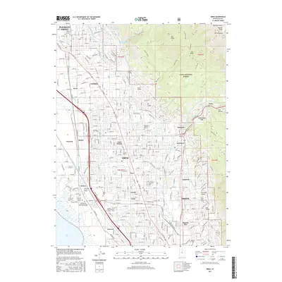 2017 Orem2017 Print · USGSCovers Pleasant Grove, including Provo, Orem, and other nearby areas
 - 2017 Map of Lehi, 2017 Print
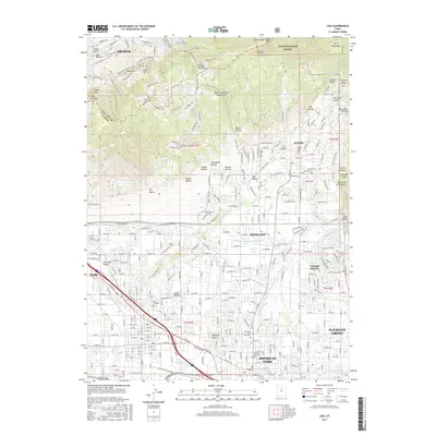 2017 Lehi2017 Print · USGSCovers Pleasant Grove, including Lehi, Draper, and other nearby areas
 - 2017 Map of Timpanogos Cave, 2017 Print
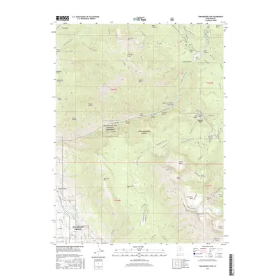 2017 Timpanogos Cave2017 Print · USGSCovers Pleasant Grove, including Highland, Alpine, and other nearby areas
 - 2020 Map of Pelican Point, 2020 Print
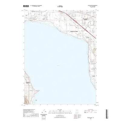 2020 Pelican Point2020 Print · USGSCovers Pleasant Grove, including Orem, Lehi, and other nearby areas
 - 2020 Map of Orem, 2020 Print
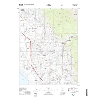 2020 Orem2020 Print · USGSCovers Pleasant Grove, including Provo, Orem, and other nearby areas
 - 2020 Map of Lehi, 2020 Print
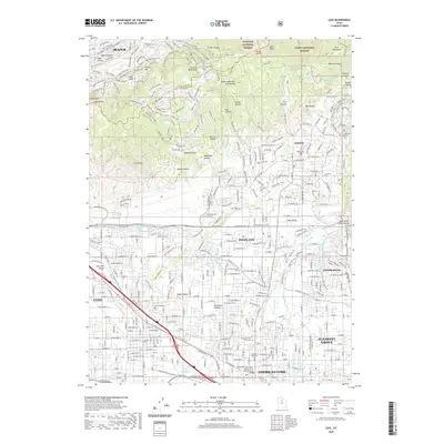 2020 Lehi2020 Print · USGSCovers Pleasant Grove, including Lehi, Draper, and other nearby areas
 - 2020 Map of Timpanogos Cave, 2020 Print
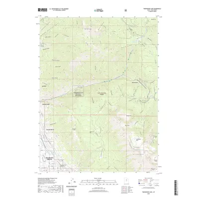 2020 Timpanogos Cave2020 Print · USGSCovers Pleasant Grove, including Highland, Alpine, and other nearby areas
 - 2023 Map of Orem, 2023 Print
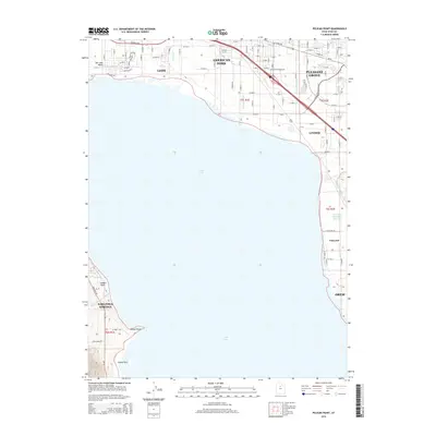
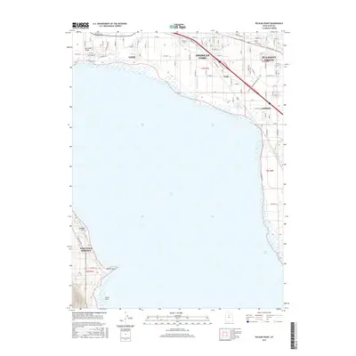
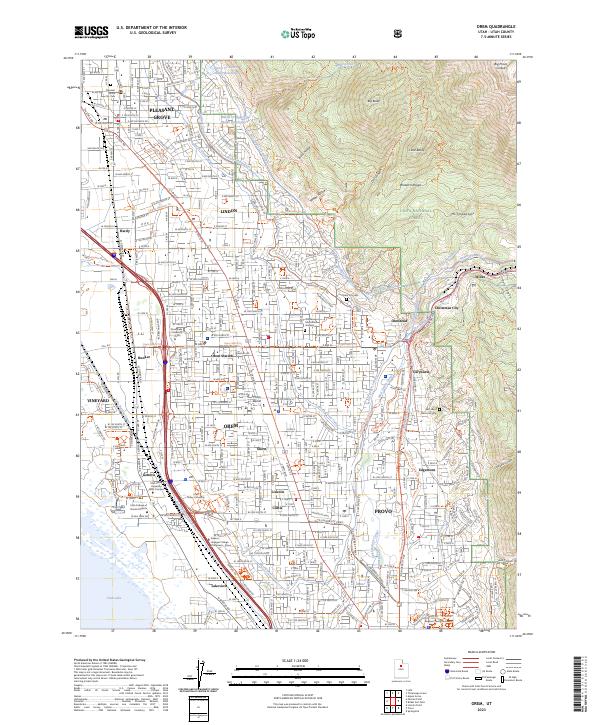 2023 Orem2023 Print · USGSThe eastern shore of Utah Lake meets the Wasatch Range in this modern survey of the growing Utah Valley corridor. Researchers can trace the development of established communities like Orem and Lindon alongside local landmarks like Orem Station and East Lawn Memorial Hills.
 - 2023 Map of Lehi, 2023 Print
 2023 Lehi2023 Print · USGSThe northern Utah Valley comes into focus in the early 2020s, showing the intersection of suburban expansion and historic irrigation. Trace family connections at the Lehi City Cem or follow the path of the Murdock Canal and Bull River Ditch.
 - 2023 Map of Timpanogos Cave, 2023 Print
 2023 Timpanogos Cave2023 Print · USGSNorthern Utah County as it appeared recently, where valley settlements give way to the Wasatch high country. Trace the path of the Alpine Scenic Highway through American Fork Canyon to the Timpanogos Cave National Monument.
 - 2023 Map of Pelican Point, 2023 Print
 2023 Pelican Point2023 Print · USGSThe eastern shores of Utah Lake come into focus in this contemporary view of the northern Utah Valley. Researchers can trace the development of lakeside settlements like Lehi and American Fork, or locate points of interest like Pelican Point and the Jordan River Pkwy Trl.
End of results
Showing maps 1-20 of 20
Top cities near Pleasant Grove
- West Jordan historical maps
- Provo historical maps
- Orem historical maps
- Sandy historical maps
- Lehi historical maps
- South Jordan historical maps
See more
Frequently asked questions
- What are the different types of historical maps available for Pleasant Grove?
- What is the oldest map of Pleasant Grove?
- Where can I purchase historical maps of Pleasant Grove for my home or office?
- Where can I download high-res historical maps of Pleasant Grove?
- Are there historical topographic maps available for Pleasant Grove?
- Is there historical aerial imagery available for Pleasant Grove?
- Where are historical maps of Pleasant Grove sourced from?