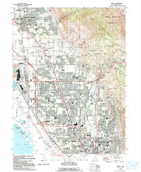
2023 Map of Orem
USGS Topo · Published 2023About this map
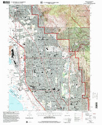
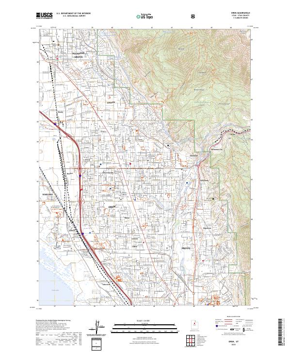
Mt. Timpanogos and the Wasatch Range tower over the burgeoning urban corridor between Pleasant Grove and Provo in this 2023 survey. The landscape is defined by the sophisticated water management systems required for such a high-elevation valley, featuring a complex network of canals and aqueducts including the Salt Lake City Aqueduct, Jordan Aqueduct, and the North Union Canal. This infrastructure supports a dense residential and academic environment, with major institutions like Brigham Young University and Utah Valley University anchoring the southern and western ends of the map respectively.
Find a feature on this map
67 named features on this map. Tap any name to fly to it.
Don’t see what you’re looking for? This feature index may not catch every label — zoom into the map to look around manually.
Map Details
Editions of this 2023 Orem Map
This is the sole edition of this map. No revisions or reprints were ever made.
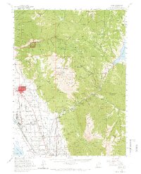
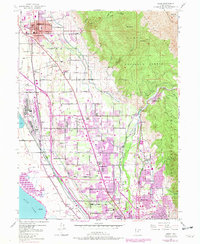
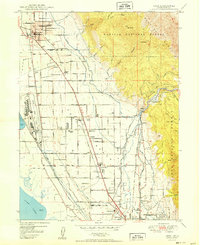
Historical Maps of Pleasant Grove Through Time
6 maps found