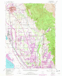
1948 Map of Orem
USGS Topo · Published 1979About this map
The Geneva Steel Plant dominates the industrial shoreline of Utah Lake, marking a period of massive manufacturing growth in this corridor between the water and the peaks of the Wasatch Range. Established near Bunker and Hardy, this massive complex is served by the Union Pacific and Denver and Rio Grande Western railroads, which thread through the expanding residential grids of Orem and Pleasant Grove.
Find a feature on this map
64 named features on this map. Tap any name to fly to it.
Don’t see what you’re looking for? This feature index may not catch every label — zoom into the map to look around manually.
Map Details
Editions of this 1948 Orem Map
4 editions found
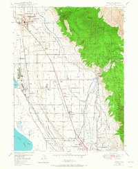
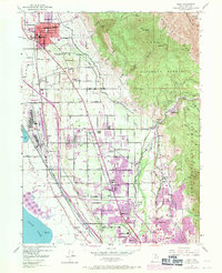
Other maps of this area

1885 · Salt Lake
USGS Topo · 1:250,000

1948 · Timpanogos Cave
USGS Topo · 1:24,000

1948 · Orem
USGS Topo · 1:24,000

1948 · Orem
USGS Topo · 1:62,500

1948 · Springville
USGS Topo · 1:24,000

1948 · Aspen Grove
USGS Topo · 1:24,000

1948 · Provo
USGS Topo · 1:24,000

1948 · Bridal Veil Falls
USGS Topo · 1:24,000

1949 · Provo
USGS Topo · 1:62,500

1950 · Orem
USGS Topo · 1:24,000