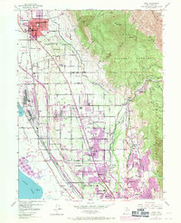
1948 Map of Orem
USGS Topo · Published 1971About this map
The eastern shores of Utah Lake serve as the backdrop for a landscape defined by rapid mid-century expansion and industrial development. This survey reveals the corridor between the Wasatch Range and the water, where the massive Geneva steel plant and its associated Cooling Pond dominate the lakefront. To the east, the rising foothills are anchored by the Uinta National Forest, featuring the dramatic heights of Mount Timpanogos and Big Baldy.
Find a feature on this map
70 named features on this map. Tap any name to fly to it.
Don’t see what you’re looking for? This feature index may not catch every label — zoom into the map to look around manually.
Map Details
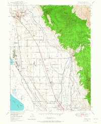
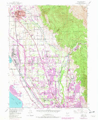
Editions of this 1948 Orem Map
4 editions found
Other maps of this area

1885 · Salt Lake
USGS Topo · 1:250,000

1948 · Timpanogos Cave
USGS Topo · 1:24,000

1948 · Orem
USGS Topo · 1:24,000

1948 · Orem
USGS Topo · 1:62,500

1948 · Springville
USGS Topo · 1:24,000

1948 · Aspen Grove
USGS Topo · 1:24,000

1948 · Provo
USGS Topo · 1:24,000

1948 · Bridal Veil Falls
USGS Topo · 1:24,000

1949 · Provo
USGS Topo · 1:62,500

1950 · Orem
USGS Topo · 1:24,000