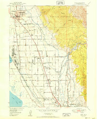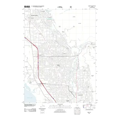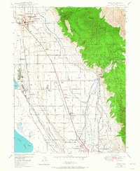
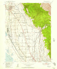
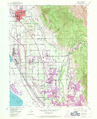
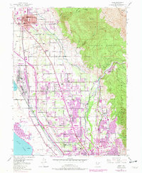
1948 Map of Orem
USGS Topo · Published 1965About this map
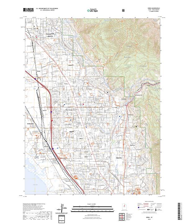
The Orem Bench provides the foundation for post-war development in Utah County, where the transition from agriculture to industry is evident. Along the shores of Utah Lake, industrial infrastructure is anchored by the Geneva Steel Plant Road, while the surrounding land remains crisscrossed by an intricate network of irrigation including the Provo Reservoir Canal and the North Canal. The map reveals the growth of Orem and Pleasant Grove alongside established neighborhoods like Lincoln, Sharon, and Hardy. Genealogy researchers can locate numerous local institutions, from Lincoln High Sch and Spencer School to the Orem Cem. The rugged eastern backdrop of the Uinta National Forest rises sharply toward Big Baldy, providing a stark contrast to the burgeoning valley floor where the Union Pacific and Denver and Rio Grande Western RR compete for transit routes.
Find a feature on this map
61 named features on this map. Tap any name to fly to it.
Don’t see what you’re looking for? This feature index may not catch every label — zoom into the map to look around manually.
Map Details
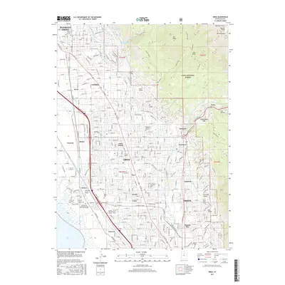
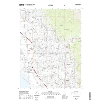
Editions of this 1948 Orem Map
4 editions found
Historical Maps of Provo Through Time
10 maps found