2020s Maps of Heber, Utah
Explore 6 historic maps of Heber from the 2020s. These maps offer a rare glimpse into what life looked like during the 2020s — showing old roads, neighborhoods, homes, and landmarks that have changed or disappeared over time.
Whether you're researching your family's past, planning a metal detecting trip, or studying how Heber's landscape evolved across the 2020s, these high-resolution maps are a powerful tool for exploring the history of this region.
- Focus on a specific era: All maps on this page are from the 2020s, giving you a focused view of this time period.
- See what’s changed: Compare century-old streets, trails, and buildings to today's modern landscape using overlays and satellite layers.
- Research with precision: Use these maps for genealogy, historical research, land use analysis, or educational projects.
- View, download, or print: Maps are fully viewable online in high resolution, and can be downloaded or printed for your own records.
Start exploring Heber's history through authentic maps from the 2020s. This is your window into the past.
Heber, UT maps
(6)- 2020 Map of Charleston, 2020 Print
 2020 Charleston2020 Print · USGSCovers Heber, including Midway, Charleston, and other nearby areas
 - 2020 Map of Heber City, 2020 Print
 2020 Heber City2020 Print · USGSCovers Heber, including Heber City, Park City, and other nearby areas
 - 2020 Map of Francis, 2020 Print
 2020 Francis2020 Print · USGSCovers Heber, including Francis, Summit County, and other nearby areas
 - 2023 Map of Francis, 2023 Print
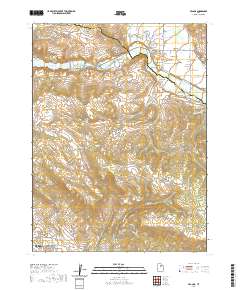
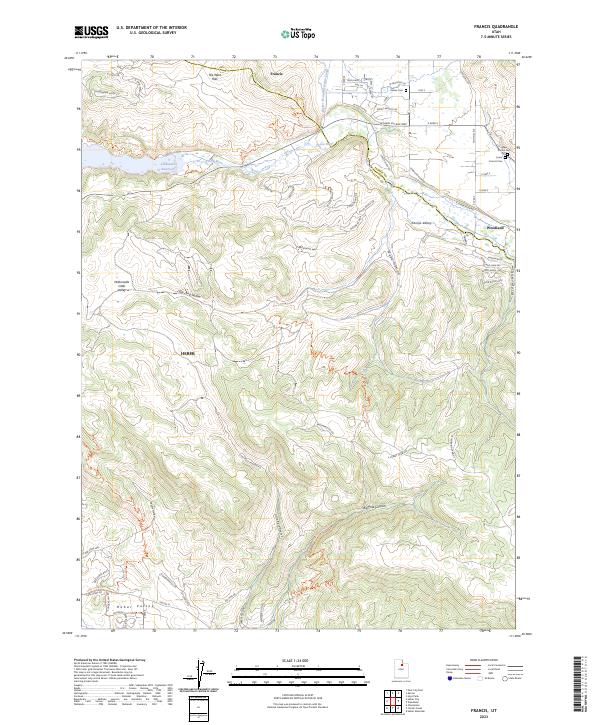 2023 Francis2023 Print · USGSThe Kamas Valley and the upper Provo River are shown here in their modern state of expansion. Researchers can trace development around Francis and Woodland or locate family sites at Kamas Cem and Lower Francis Cem near the Jordanelle Reservoir.
 - 2023 Map of Charleston, 2023 Print
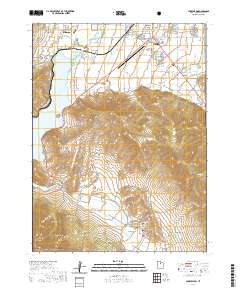
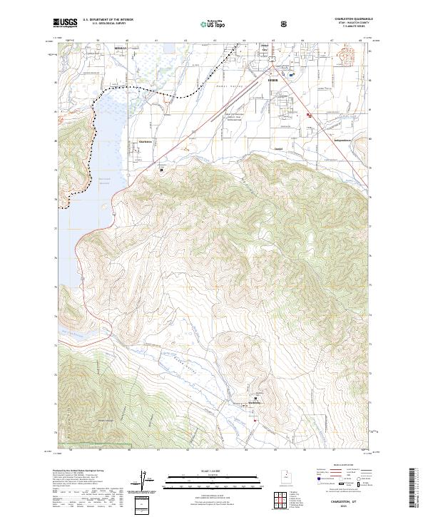 2023 Charleston2023 Print · USGSHeber Valley and the surrounding peaks of the Wasatch Range come into focus in this contemporary study of central Utah. Researchers can trace the complex network of irrigation canals, find the Charleston Cem, or locate landmarks like the Wasatch County Court House.
 - 2023 Map of Heber City, 2023 Print
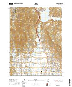
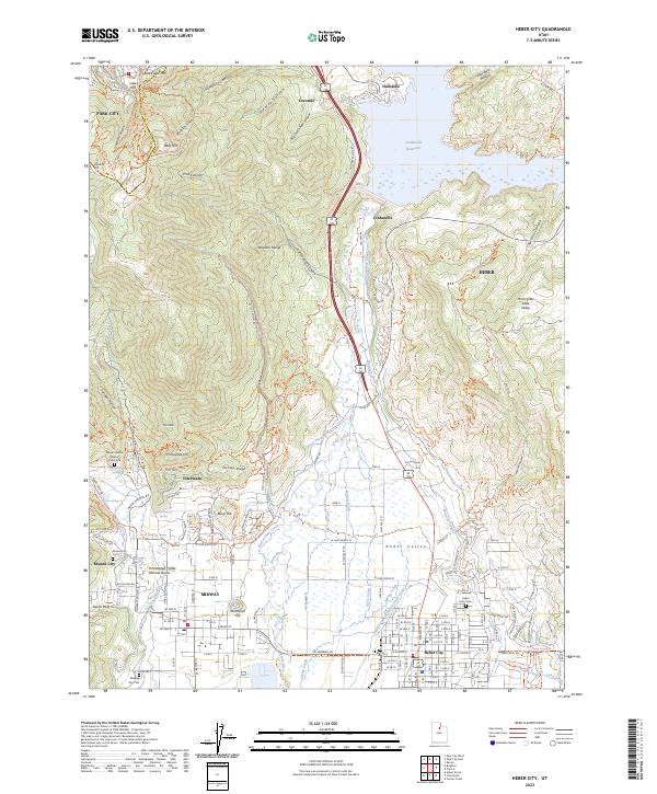 2023 Heber City2023 Print · USGSHeber City and the surrounding valley are shown during a period of significant growth and recreational development in the early twenty-first century. Researchers can trace family sites at the Heber City Cem or explore the geography of Memorial Hill and the Homestead Crater Mineral Dome.
End of results
Showing maps 1-6 of 6
Top cities near Heber
- Provo historical maps
- Heber City historical maps
- Park City historical maps
- Snyderville historical maps
- Midway historical maps
- Kamas historical maps
See more
Top neighborhoods of Heber
Frequently asked questions
- What are the different types of historical maps available for Heber?
- What is the oldest map of Heber?
- Where can I purchase historical maps of Heber for my home or office?
- Where can I download high-res historical maps of Heber?
- Are there historical topographic maps available for Heber?
- Is there historical aerial imagery available for Heber?
- Where are historical maps of Heber sourced from?