Old Maps of Heber, Utah for Metal Detecting
Plan your next treasure hunt with 32 historic maps of Heber. Find old homesites, ghost towns, trails, and gathering spots that may be lost to time — perfect for identifying promising metal detecting locations.
- Locate forgotten sites: Uncover places like long-lost settlements, abandoned rail lines, or gathering spots.
- Plan better hunts: Use map overlays combined with LiDAR or satellite views to narrow in on historically rich areas.
- Made for detectorists: Thousands of hobbyists use these maps to discover relics, coins, and hidden history.
Use these historic maps to boost your research and find new opportunities beneath the surface of Heber.
Heber, UT maps
(32)- 1885 Map of Salt Lake
 1885 Salt Lake1885 Print · USGSThe Wasatch Front and surrounding high valleys appear here in the mid-1880s during a period of rapid mining and rail expansion. Genealogists and historians can trace early town sites and mining camps including Alta, Silver City, and the military grounds of Fort Douglass.7 unique versions available
 - 1900 Map of Coalville, 1955 Print
 1900 Coalville1955 Print · USGSThe high valleys of Summit and Wasatch counties are captured at the turn of the century as the silver and coal industries flourished. Researchers can trace early settlements like Rockport and Hailstone or locate the industrial Ontario Drain Tunnel near Park City.2 unique versions available
 - 1903 Map of Coalville, 1921 Print
 1903 Coalville1921 Print · USGSUpper Utah at the turn of the century reveals a landscape defined by mining corridors and valley settlements. Genealogists and historians can trace the early path of the Union Pacific R. R. through Coalville or locate family-named sites like Rigby's Ranch and the Ontario Drain Tunnel.2 unique versions available
 - 1907 Map of Strawberry Valley, 1955 Print
 1907 Strawberry Valley1955 Print · USGSIn the early 1900s, this high-mountain territory was defined by the ranching and rail connections of the Uinta region. Researchers can trace family-named outposts like Averetts Ranch, the Diamond Battle Monument, and the early route of the D and R G RR.2 unique versions available
 - 1909 Map of Strawberry Valley
 1909 Strawberry Valley1909 Print · USGSWasatch County at the dawn of the twentieth century shows a landscape of mountain ranches and early settlements before the major dams. Genealogists and historians can trace family locations at Averetts Ranch, locate the Diamond Battle Monument, and follow the old D and R G RR line.2 unique versions available
 - 1954 Map of Salt Lake City, 1964 Print
 1954 Salt Lake City1964 Print · USGSThe Wasatch Front and Uinta Mountains are captured here in the mid-fifties, showing the industrial heart of Utah and its high mountain wilderness. Researchers can locate vanished infrastructure and landmarks like the Geneva Steel Plant, Bingham Canyon Mine, and the Utah State Prison.4 unique versions available
 - 1955 Map of Heber, 1956 Print
 1955 Heber1956 Print · USGSHeber Valley and the surrounding mountains are captured here in the mid-fifties, just as the regional mining industry and agricultural settlements were finding a new equilibrium. Researchers can trace the original locations of Hailstone and Jordanelle or locate family sites near Wasatch High Sch and the Mayflower Mine.5 unique versions available
 - 1958 Map of Salt Lake City
 1958 Salt Lake City1958 Print · USGSThe Wasatch Front and Uinta Basin are captured during a period of significant post-war growth and industrial development. Researchers can trace the mid-century rail lines of the Bamberger RR and locate sites like the Kiegley Limestone Quarry and Camp Williams Military Reservation.
 - 1960 Map of Salt Lake City
 1960 Salt Lake City1960 Print · USGSThe Wasatch Front and High Uintas are captured mid-century as the Salt Lake Valley underwent significant postwar expansion. Genealogists and historians can trace rail lines like the Union Pacific and locate established landmarks such as Fort Douglas, Camp Williams, and the Bingham Canyon Mine.
 - 1966 Map of Charleston, 1969 Print
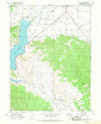 1966 Charleston1969 Print · USGSThe Heber Valley of the mid-1960s is defined by its deep mountain canyons and its sophisticated irrigation systems. Genealogists and researchers can trace local families near Charleston, locate the Cem, or follow the Denver and Rio Grande Western rail lines.
 - 1967 Map of Francis, 1969 Print
 1967 Francis1969 Print · USGSRhodes Valley and the West Hills are captured here during the late 1960s, showing the intersection of Summit and Wasatch counties. Genealogists and local historians can trace the early layout of Francis, locate the local Cemetery, and identify industrial markers like the Mine and Provo Canal.2 unique versions available
 - 1980 Map of Salt Lake City
 1980 Salt Lake City1980 Print · USGSSalt Lake City and the surrounding Wasatch Range are shown in the early eighties during a period of rapid suburban growth. Genealogists and historians can trace old mining operations like the Ontario Mine and Wasatch Mine or follow the path of the Union Pacific through the canyons.3 unique versions available
 - 1986 Map of Provo
 1986 Provo1986 Print · USGSThe Utah Valley during the mid-eighties shows a bustling corridor of growth between the mountains and Utah Lake. Genealogists and historians can trace the rail lines of the Union Pacific RR through settlements like Springville, Spanish Fork, and Payson.
 - 1993 Map of Charleston
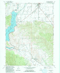 1993 Charleston1993 Print · USGSHeber Valley and Round Valley are shown in the early nineties as the region's agricultural roots met modern expansion. Genealogists and local historians can trace family-named sites like Billy Haws Canyon and landmarks including the Midway Hatchery and Cem.
 - 1997 Map of Francis, 2001 Print
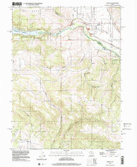 1997 Francis2001 Print · USGSRhodes Valley and the upper Provo River region are captured here in the late nineties, showcasing a landscape shaped by water and high-mountain terrain. You can trace the development of Francis, locate the local Cem, and explore the shoreline of Jordanelle Reservoir.
 - 1998 Map of Charleston, 2000 Print
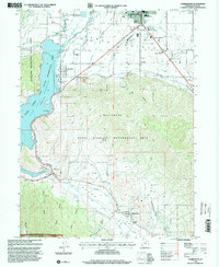 1998 Charleston2000 Print · USGSThe Heber Valley and Round Valley regions are captured here in the late nineties, showing a landscape shaped by water and rail. Researchers can trace the Heber Valley Railroad or find landmarks like Charleston Town Hall and the local Cem.
 - 1999 Map of Heber City, 2001 Print
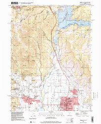 1999 Heber City2001 Print · USGSHeber City and the surrounding valley are shown just before the turn of the millennium as the region prepared for the Winter Olympics. Researchers can trace historic mining operations like the Ontario Mine, explore civic landmarks including the Heber Valley Railroad Depot, and locate the old Mound City (Site).
 - 2011 Map of Charleston, 2011 Print
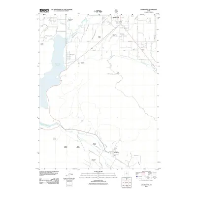 2011 Charleston2011 Print · USGSThe Heber Valley is depicted here in the early twenty-first century, showing a landscape shaped by the Provo River and complex irrigation. Researchers can locate the Wallsburg Post Office, trace the Humbug Canal, or find family sites at Charleston Cemetery.
 - 2011 Map of Heber City, 2011 Print
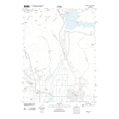 2011 Heber City2011 Print · USGSHeber Valley and the surrounding Wasatch peaks appear here in the early 21st century, showing a landscape shaped by water and silver mining. Genealogists and historians can locate family plots at the Midway City Cemetery or trace the legacy of the Glencoe Mine and Homestead Crater Mineral Dome.
 - 2011 Map of Francis, 2011 Print
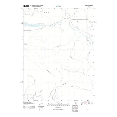 2011 Francis2011 Print · USGSFrancis and the Rhodes Valley are documented in the early 21st century as this region of Utah balanced its rural roots with new growth. Researchers can locate family sites at the Upper Francis Cemetery or trace the geography of Big Pole Canyon and Webb Hollow.
 - 2014 Map of Charleston, 2014 Print
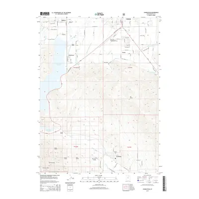 2014 Charleston2014 Print · USGSThe Heber Valley and the Wasatch foothills are captured here in the early twenty-first century as the region balanced its agricultural roots with modern development. Researchers can locate family landmarks like the Charleston Cem, the Midway Fish Hatchery, and the namesake airport at Daniel.
 - 2014 Map of Heber City, 2014 Print
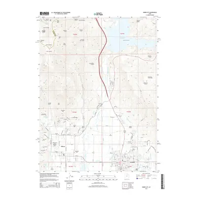 2014 Heber City2014 Print · USGSThe Heber Valley and the eastern slopes of the Wasatch Range are shown here in the early twenty-first century as the region balanced growth with its water-rich heritage. Researchers can trace local lineage at Heber City Cem or locate unique landmarks like the Homestead Crater Mineral Dome and Memorial Hill.
 - 2014 Map of Francis, 2014 Print
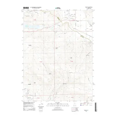 2014 Francis2014 Print · USGSThe intersection of Francis and the Kamas Valley is documented here during a period of modern growth. Researchers can trace local heritage at the Upper Francis Cem and Lower Francis Cem or follow the path of the Provo River as it feeds the Jordanelle Reservoir.
 - 2017 Map of Heber City, 2017 Print
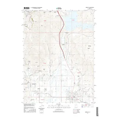 2017 Heber City2017 Print · USGSHeber Valley is captured here in the late twenty-teens, showing the agricultural and residential growth between the Wasatch Range and Jordanelle Reservoir. Researchers can trace family roots at the Heber City Cem or locate the William Walter Wilson Burial Site near Interlaken.
 - 2017 Map of Charleston, 2017 Print
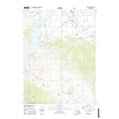 2017 Charleston2017 Print · USGSHeber Valley and its surrounding mountain communities are captured in the late 2010s, showing a landscape defined by historic irrigation and modern growth. Researchers can trace the complex canal systems and find local heritage sites like Wallsburg Cem and the Charleston Cem.
Showing maps 1-25 of 32
Top cities near Heber
- Provo historical maps
- Heber City historical maps
- Park City historical maps
- Snyderville historical maps
- Midway historical maps
- Kamas historical maps
See more
Top neighborhoods of Heber
Frequently asked questions
- What are the different types of historical maps available for Heber?
- What is the oldest map of Heber?
- Where can I purchase historical maps of Heber for my home or office?
- Where can I download high-res historical maps of Heber?
- Are there historical topographic maps available for Heber?
- Is there historical aerial imagery available for Heber?
- Where are historical maps of Heber sourced from?