2000s (21st Century) Maps of Independence, Utah
Explore 5 historic maps of Independence from the 2000s (21st Century). These maps offer a rare glimpse into what life looked like during the 2000s — showing old roads, neighborhoods, homes, and landmarks that have changed or disappeared over time.
Whether you're researching your family's past, planning a metal detecting trip, or studying how Independence's landscape evolved across the 2000s, these high-resolution maps are a powerful tool for exploring the history of this region.
- Focus on a specific era: All maps on this page are from the 2000s, giving you a focused view of this time period.
- See what’s changed: Compare century-old streets, trails, and buildings to today's modern landscape using overlays and satellite layers.
- Research with precision: Use these maps for genealogy, historical research, land use analysis, or educational projects.
- View, download, or print: Maps are fully viewable online in high resolution, and can be downloaded or printed for your own records.
Start exploring Independence's history through authentic maps from the 2000s. This is your window into the past.
Independence, UT maps
(5)- 2023 Map of Charleston, 2023 Print
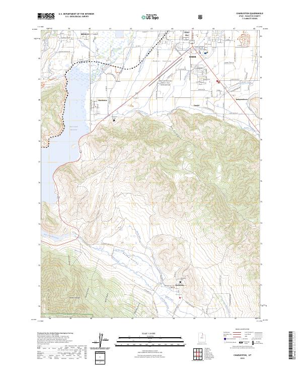 2023 Charleston2023 Print · USGSHeber Valley and the surrounding peaks of the Wasatch Range come into focus in this contemporary study of central Utah. Researchers can trace the complex network of irrigation canals, find the Charleston Cem, or locate landmarks like the Wasatch County Court House.
 - 2023 Map of Heber Mountain, 2023 Print
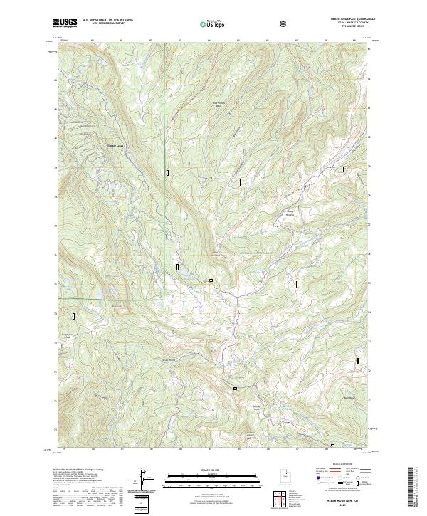 2023 Heber Mountain2023 Print · USGSHigh in the Wasatch range during the 2020s, this area showcases the intersection of mountain residential living and national forest management. Trace high-altitude landmarks like Heber Mountain and Duchesne Ridge, or locate local springs and basins such as Mair Spring and Roundy Basin.
 - 2023 Map of Co-op Creek, 2023 Print
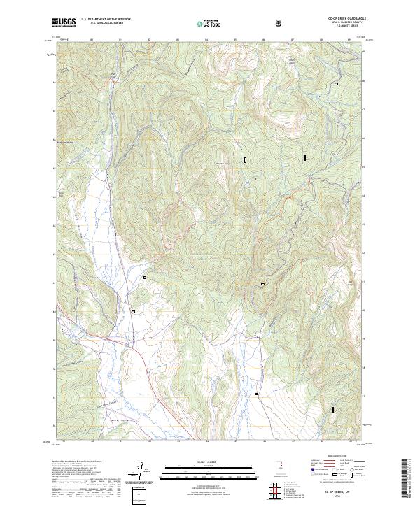 2023 Co-op Creek2023 Print · USGSHigh-elevation terrain in Wasatch County is shown in this modern recreation-focused survey of the Uinta National Forest. Researchers can trace winter-use routes like the Quarry Winter Trl and water infrastructure such as the Strawberry Ditch.
 - 2023 Map of Center Creek, 2023 Print
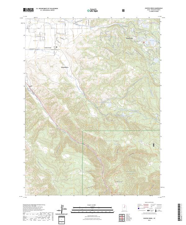 2023 Center Creek2023 Print · USGSThe Heber Valley highlands are captured here in recent years, showing the intersection of long-standing farming communities and growing mountain retreats. Researchers can locate the Center Creek Cem, trace the waters of Daniels Creek, and explore the canyon trails of the Uinta National Forest.
 - 2023 Map of Twin Peaks, 2023 Print
 2023 Twin Peaks2023 Print · USGSThe high mountain country of Wasatch County is shown here in the 2020s, centered on the rugged ridgelines between Independence and Daniels Pass. Trace the complex terrain of the Wasatch Range through landmarks like Twin Peaks, Soldier Bench, and the headwaters of Hobble Creek.
End of results
Showing maps 1-5 of 5
Top cities near Independence
- Provo historical maps
- Heber City historical maps
- Park City historical maps
- Midway historical maps
- Francis historical maps
- Charleston historical maps
See more
Top neighborhoods of Independence
Frequently asked questions
- What are the different types of historical maps available for Independence?
- What is the oldest map of Independence?
- Where can I purchase historical maps of Independence for my home or office?
- Where can I download high-res historical maps of Independence?
- Are there historical topographic maps available for Independence?
- Is there historical aerial imagery available for Independence?
- Where are historical maps of Independence sourced from?