Old Maps of Burke, Vermont for Hiking & Exploration
Hike through history with 31 historic maps of Burke. Explore old trails, ghost towns, and forgotten backroads — perfect for outdoor adventurers and local explorers.
- Rediscover forgotten places: Map out old mining camps, roads, and footpaths that no longer exist on modern maps.
- Layer with modern tools: Combine with LiDAR or satellite views to plan hikes through historical terrain.
- Made for exploration: Popular among hikers, overlanders, and local history lovers.
Use these maps to find adventure and explore the hidden past of Burke.
Burke, VT maps
(31)- 1950 Map of Lewiston
 1950 Lewiston1950 Print · USGSThe Maine and New Hampshire borderlands come alive in this post-war survey of the White Mountains and Androscoggin valley. Genealogists and historians can trace rail lines like the Maine Central Railroad and find high-altitude landmarks from Mount Washington to Bretton Woods.2 unique versions available
 - 1951 Map of Burke, 1953 Print
 1951 Burke1953 Print · USGSNortheastern Vermont in the early 1950s is a landscape of high peaks and isolated logging hamlets. Genealogists and local historians can trace rural schools like White Sch, family burial grounds such as Pownal Cem, and the timber history of Gallup Mills.6 unique versions available
 - 1956 Map of Lewiston, 1975 Print
 1956 Lewiston1975 Print · USGSThe Northern New England interior is documented here in the mid-fifties, from the industrial Androscoggin River to the high peaks of the White Mountains. Trace the Grand Trunk Railway through mountain passes or locate family landmarks near Sabbathday Lake and Bretton Woods.
 - 1961 Map of Lewiston
 1961 Lewiston1961 Print · USGSWestern Maine and the White Mountains appear here during the early sixties, showing the industrial river towns and vast timberlands before the modern interstate era. Genealogists and historians can trace the Grand Trunk RR through Berlin or locate landmarks like Old Speck Mountain and Elephant Mountain.
 - 1962 Map of Lewiston
 1962 Lewiston1962 Print · USGSThe industrial river valleys and high peaks of Maine and New Hampshire define the region in the early sixties. Trace the rail-and-river network from Lewiston to the White Mountains, passing through mill towns like Berlin and Rumford.
 - 1969 Map of Lewiston
 1969 Lewiston1969 Print · USGSThe northern New England highlands come into focus during the mid-fifties, showing the vital rail and river networks connecting industrial centers to the deep woods. Researchers can trace the path of the Grand Trunk RR or locate landmarks like Mt Washington and Rangeley Lake.
 - 1986 Map of Groveton
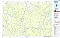 1986 Groveton1986 Print · USGSThe North Country's rugged borderlands come into focus in the mid-1980s, tracing the river-and-rail corridors of the Connecticut River valley. Genealogists and historians can locate family landmarks in North Stratford, Groveton, and Guildhall or trace the Canadian National RR.2 unique versions available
 - 1988 Map of Seneca Mountain
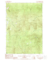 1988 Seneca Mountain1988 Print · USGSThe Northeast Kingdom's interior is captured here in the late 1980s, showing a landscape defined by the steep East Haven Range. Researchers can trace remote locales like Lost Nation and the headwaters of the Passumpsic River East Branch.
 - 1988 Map of Burke Mountain
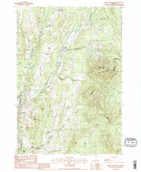 1988 Burke Mountain1988 Print · USGSThe Vermont highlands of the late eighties are defined here by the steep slopes of Burke Mtn and the working landscapes of the Caledonia and Essex county lines. Genealogists and hikers can trace old routes like Calendar Brook or locate historic hamlets including Burke Hollow and Red Village.2 unique versions available
 - 1988 Map of Gallup Mills
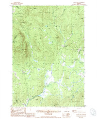 1988 Gallup Mills1988 Print · USGSNortheastern Vermont's timberlands are captured here in the late eighties, centered on the Moose River valley and its surrounding ridges. Researchers can trace the heritage of local logging sites and industry at Moccasin Mill (Site), the remote Gallup Mills settlement, and the Cem at Victory.2 unique versions available
 - 1988 Map of West Burke
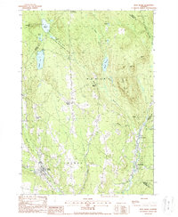 1988 West Burke1988 Print · USGSVermont's Northeast Kingdom shows its quiet, late-twentieth-century character in this detailed survey of the Burke and Newark area. Genealogists and hikers can trace the roads connecting Newark Street, Hartwellville, and the waters of Center Pond.2 unique versions available
 - 2012 Map of Burke Mountain, 2012 Print
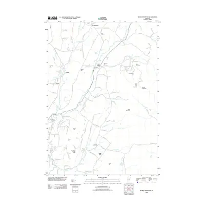 2012 Burke Mountain2012 Print · USGSThe Northeast Kingdom's highlands come into focus in 2012, showing the rural character of the Passumpsic River valley. Genealogists and historians can locate family plots at Burke Green Cem, trace old routes like Darling Hill Rd, and find the historic Burrington Covered Bridge.
 - 2012 Map of Seneca Mountain, 2012 Print
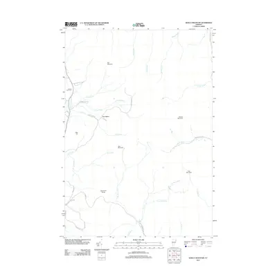 2012 Seneca Mountain2012 Print · USGSThe remote highlands of Vermont's Northeast Kingdom are captured here in the early twenty-first century, showing a landscape defined by the East Haven Range. Genealogists and hikers can trace the Howard Family Cem and the woods around Lost Nation.
 - 2012 Map of West Burke, 2012 Print
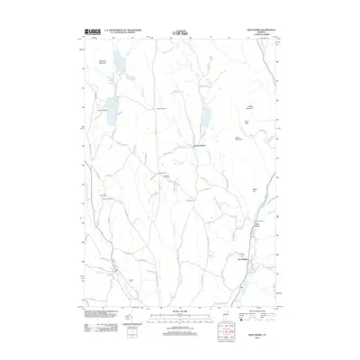 2012 West Burke2012 Print · USGSNortheastern Vermont is shown here in the early twenty-first century, featuring a landscape of high ridges and glacial ponds. Genealogists can trace family names through numerous burial grounds such as Pleasant View Cem and Walters Cem, or explore the rural surroundings of Newark Street.
 - 2012 Map of Gallup Mills, 2012 Print
 2012 Gallup Mills2012 Print · USGSEssex County's timber and river history is preserved in this early 21st-century record of the Moose River valley. Genealogists and historians can trace family locations through numerous sites like Rogers Rangers Cem, Moccasin Mill, and North Victory Cem.
 - 2015 Map of Gallup Mills, 2015 Print
 2015 Gallup Mills2015 Print · USGSEssex County's remote Northeast Kingdom settlements are documented here in the early twenty-first century. Genealogists can trace family histories at the Rogers Rangers Cem and Granby Village Cem, or locate former mill sites like Moccasin Mill.
 - 2015 Map of Seneca Mountain, 2015 Print
 2015 Seneca Mountain2015 Print · USGSThe high ridgelines of the East Haven Range are documented here in the mid-2010s, showing a landscape defined by deep woods and cold-water headwaters. Genealogists and local historians can locate the Howard Family Cem and the small settlement of Lost Nation tucked among the peaks of Seneca Mountain and Starr Mtn.
 - 2015 Map of Burke Mountain, 2015 Print
 2015 Burke Mountain2015 Print · USGSVermont's Northeast Kingdom comes into focus during the mid-2010s, showing the high-elevation terrain of Burke Mountain alongside the valley settlements of Lyndonville and East Burke. Researchers can trace old family lines through the Burke Green Cem or locate historic structures like the Burrington Covered Bridge.
 - 2015 Map of West Burke, 2015 Print
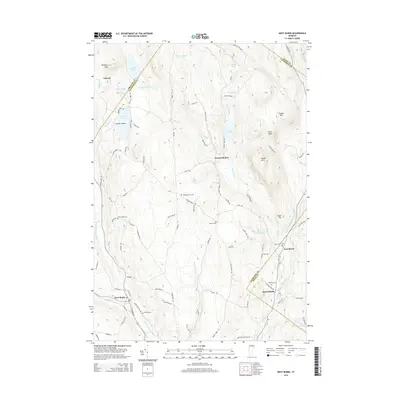 2015 West Burke2015 Print · USGSUpper Caledonia County and the Northeast Kingdom highlands are captured here in the mid-2010s. Researchers can trace family plots at Hillside Cem and East Haven Cem or locate the settlements of West Burke and Hartwellville along the river forks.
 - 2018 Map of West Burke, 2018 Print
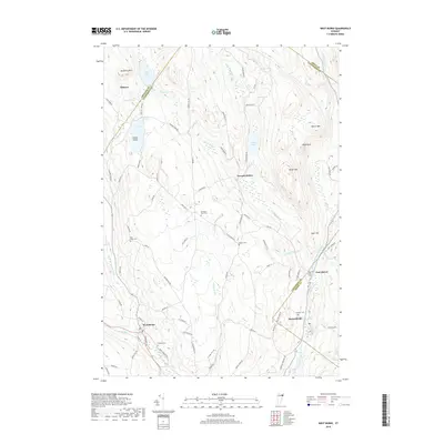 2018 West Burke2018 Print · USGSNortheastern Vermont is shown in the late 2010s as a landscape of high peaks and secluded glacial ponds. Researchers can trace rural cemeteries and historic crossroads settlements like Hartwellville, Newark Hollow, and Hillside Cem.
 - 2018 Map of Gallup Mills, 2018 Print
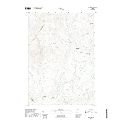 2018 Gallup Mills2018 Print · USGSUpper Essex County is captured in this modern survey, showing the mountain settlements of Granby and Victory among the high ridges. Genealogists can locate several family and town burial sites, including Rogers Rangers Cem and North Victory Cem.
 - 2018 Map of Seneca Mountain, 2018 Print
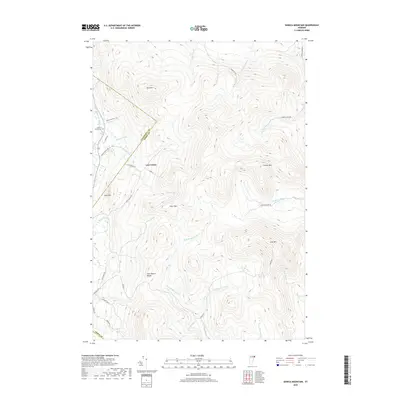 2018 Seneca Mountain2018 Print · USGSThe Northeast Kingdom's highlands are revealed in the late 2010s, showing the high ridges where the Caledonia and Essex county lines meet. Researchers can trace the remote settlement at Lost Nation and find the secluded Howard Family Cem near Deer Hill.
 - 2018 Map of Burke Mountain, 2018 Print
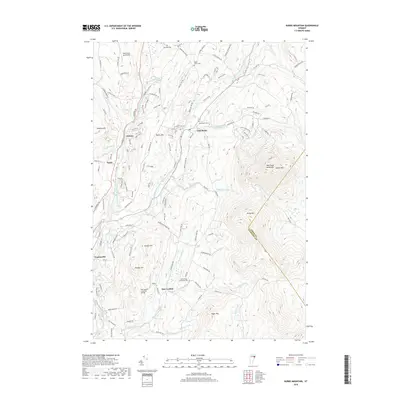 2018 Burke Mountain2018 Print · USGSThe northern Vermont highlands are captured here during a period of transition between traditional farming and modern recreation. Trace local family history through the Burrington Covered Bridge, the White School, and the Burke Green Cemetery.
 - 2021 Map of West Burke, 2021 Print
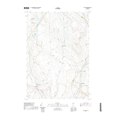 2021 West Burke2021 Print · USGSThe Northeast Kingdom highland is captured here as it appeared in recent years, centered on the village of West Burke. Genealogists and historians can trace local family lineages through Hillside Cem, Packer Cem, and the quiet settlements of Newark Hollow and Hartwellville.
 - 2021 Map of Gallup Mills, 2021 Print
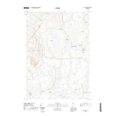 2021 Gallup Mills2021 Print · USGSUpper Essex County is documented in the modern era, showing the enduring crossroads of Gallup Mills and Granby. Genealogists can trace family heritage at Rogers Rangers Cem and Victory Hill Cem amidst the peaks of Umpire Mtn and Hobart Ridge.
Showing maps 1-25 of 31
Top cities near Burke
- Saint Johnsbury historical maps
- Littleton historical maps
- Barton historical maps
- Danville historical maps
- Lunenburg historical maps
- Concord historical maps
See more
Top neighborhoods of Burke
Frequently asked questions
- What are the different types of historical maps available for Burke?
- What is the oldest map of Burke?
- Where can I purchase historical maps of Burke for my home or office?
- Where can I download high-res historical maps of Burke?
- Are there historical topographic maps available for Burke?
- Is there historical aerial imagery available for Burke?
- Where are historical maps of Burke sourced from?