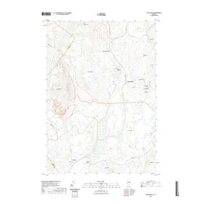
2021 Map of Gallup Mills
USGS Topo · Published 2021About this map
The boundary between Caledonia and Essex County divides this Northeast Kingdom terrain, where the historic settlement of Gallup Mills serves as a central landmark. The landscape is defined by significant elevations like East Haven Mtn, Mitchell Mtn, and Umpire Mtn, with local waterways such as Wolf Hill Brook and Bog Pond drainage patterns shaping the valley floors. Evidence of the region’s timber and processing history remains through labels like Moccasin Mill and several small community centers including Granby and Victory. Genealogists will find a high density of small burial sites across these uplands, including the Rogers Rangers Cem, Porrell Cem, and the North Victory Cem, reflecting the generations of families who established farms and homesteads along the remote road networks of Victory Rd and Granby Rd.
Find a feature on this map
33 named features on this map. Tap any name to fly to it.
Don’t see what you’re looking for? This feature index may not catch every label — zoom into the map to look around manually.
Map Details
Editions of this 2021 Gallup Mills Map
This is the sole edition of this map. No revisions or reprints were ever made.
Other maps of this area

1900 · Whitefield
USGS Topo · 1:62,500

1920 · Guildhall
USGS Topo · 1:62,500

1931 · Guildhall
USGS Topo · 1:48,000

1931 · Littleton
USGS Topo · 1:62,500

1932 · Littleton
USGS Topo · 1:48,000

1933 · Guildhall
USGS Topo · 1:48,000

1935 · Littleton
USGS Topo · 1:62,500

1935 · Whitefield
USGS Topo · 1:48,000

1937 · Guildhall
USGS Topo · 1:62,500

1938 · Whitefield
USGS Topo · 1:62,500