2000s (21st Century) Maps of Ferdinand, Vermont
Explore 20 historic maps of Ferdinand from the 2000s (21st Century). These maps offer a rare glimpse into what life looked like during the 2000s — showing old roads, neighborhoods, homes, and landmarks that have changed or disappeared over time.
Whether you're researching your family's past, planning a metal detecting trip, or studying how Ferdinand's landscape evolved across the 2000s, these high-resolution maps are a powerful tool for exploring the history of this region.
- Focus on a specific era: All maps on this page are from the 2000s, giving you a focused view of this time period.
- See what’s changed: Compare century-old streets, trails, and buildings to today's modern landscape using overlays and satellite layers.
- Research with precision: Use these maps for genealogy, historical research, land use analysis, or educational projects.
- View, download, or print: Maps are fully viewable online in high resolution, and can be downloaded or printed for your own records.
Start exploring Ferdinand's history through authentic maps from the 2000s. This is your window into the past.
Ferdinand, VT maps
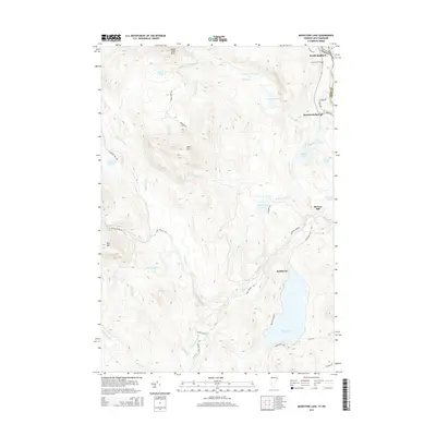
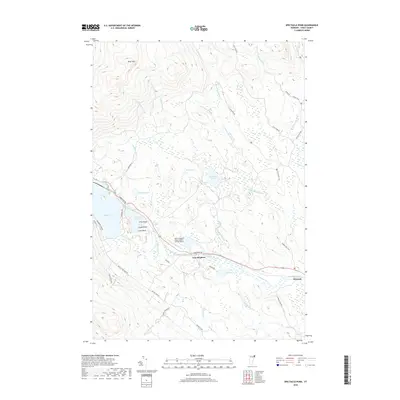
(20)- 2012 Map of Maidstone Lake, 2012 Print
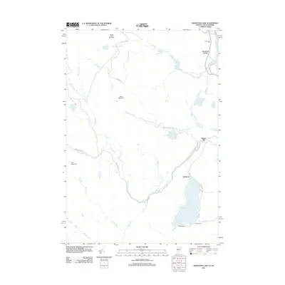 2012 Maidstone Lake2012 Print · USGSCovers Ferdinand, including Stratford, East Haven, and other nearby areas
 - 2012 Map of Spectacle Pond, 2012 Print
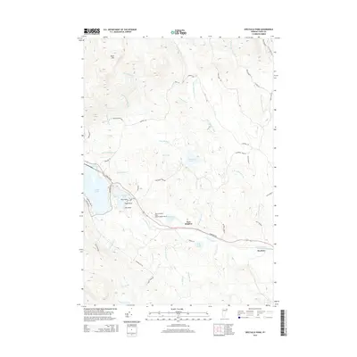
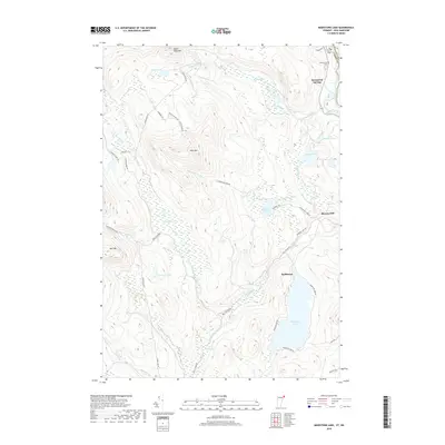
 2012 Spectacle Pond2012 Print · USGSCovers Ferdinand, including Brighton, Warren's Gore, and other nearby areas
 - 2012 Map of Bloomfield, 2012 Print
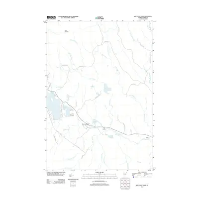
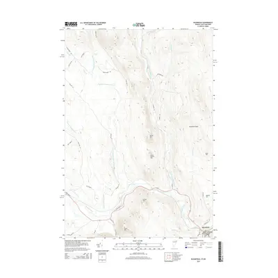
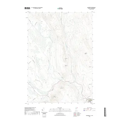
 2012 Bloomfield2012 Print · USGSCovers Ferdinand, including Stratford, Bloomfield, and other nearby areas
 - 2012 Map of Seneca Mountain, 2012 Print
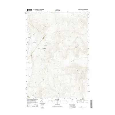
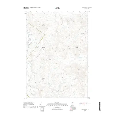
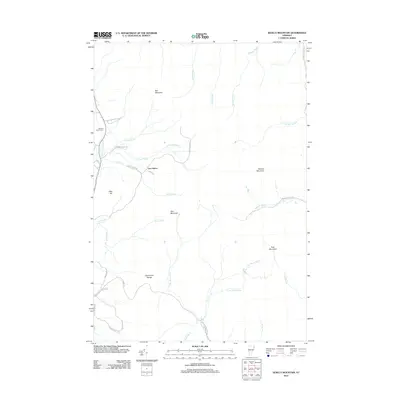 2012 Seneca Mountain2012 Print · USGSCovers Ferdinand, including Brighton, Burke, and other nearby areas
 - 2015 Map of Maidstone Lake, 2015 Print
 2015 Maidstone Lake2015 Print · USGSCovers Ferdinand, including Stratford, East Haven, and other nearby areas
 - 2015 Map of Bloomfield, 2015 Print
 2015 Bloomfield2015 Print · USGSCovers Ferdinand, including Stratford, Bloomfield, and other nearby areas
 - 2015 Map of Seneca Mountain, 2015 Print
 2015 Seneca Mountain2015 Print · USGSCovers Ferdinand, including Brighton, Burke, and other nearby areas
 - 2015 Map of Spectacle Pond, 2015 Print
 2015 Spectacle Pond2015 Print · USGSCovers Ferdinand, including Brighton, Warren's Gore, and other nearby areas
 - 2018 Map of Bloomfield, 2018 Print
 2018 Bloomfield2018 Print · USGSCovers Ferdinand, including Stratford, Bloomfield, and other nearby areas
 - 2018 Map of Spectacle Pond, 2018 Print
 2018 Spectacle Pond2018 Print · USGSCovers Ferdinand, including Brighton, Warren's Gore, and other nearby areas
 - 2018 Map of Seneca Mountain, 2018 Print
 2018 Seneca Mountain2018 Print · USGSCovers Ferdinand, including Brighton, Burke, and other nearby areas
 - 2018 Map of Maidstone Lake, 2018 Print
 2018 Maidstone Lake2018 Print · USGSCovers Ferdinand, including Stratford, East Haven, and other nearby areas
 - 2021 Map of Bloomfield, 2021 Print
 2021 Bloomfield2021 Print · USGSCovers Ferdinand, including Stratford, Bloomfield, and other nearby areas
 - 2021 Map of Spectacle Pond, 2021 Print
 2021 Spectacle Pond2021 Print · USGSCovers Ferdinand, including Brighton, Warren's Gore, and other nearby areas
 - 2021 Map of Maidstone Lake, 2021 Print
 2021 Maidstone Lake2021 Print · USGSCovers Ferdinand, including Stratford, East Haven, and other nearby areas
 - 2021 Map of Seneca Mountain, 2021 Print
 2021 Seneca Mountain2021 Print · USGSCovers Ferdinand, including Brighton, Burke, and other nearby areas
 - 2024 Map of Spectacle Pond, 2024 Print
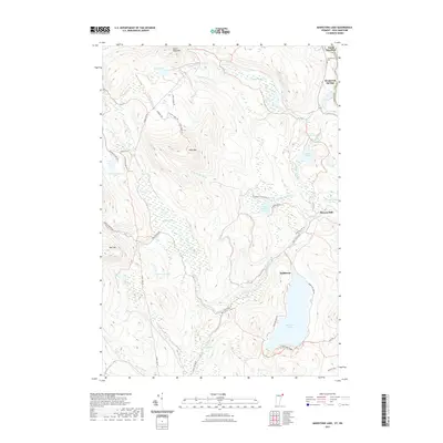
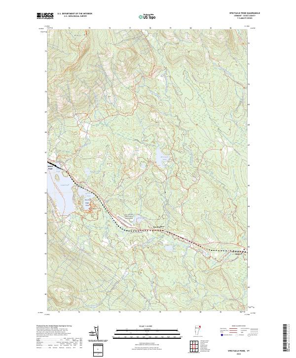 2024 Spectacle Pond2024 Print · USGSThe village of Island Pond and the surrounding Essex County forests appear here in the early twenty-first century as a landscape of interconnected waterways and trails. Researchers can trace the quiet settlements of East Brighton and Wenlock or locate the John H Boylan State Airport along the Nulhegan River.
 - 2024 Map of Maidstone Lake, 2024 Print
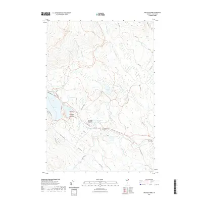
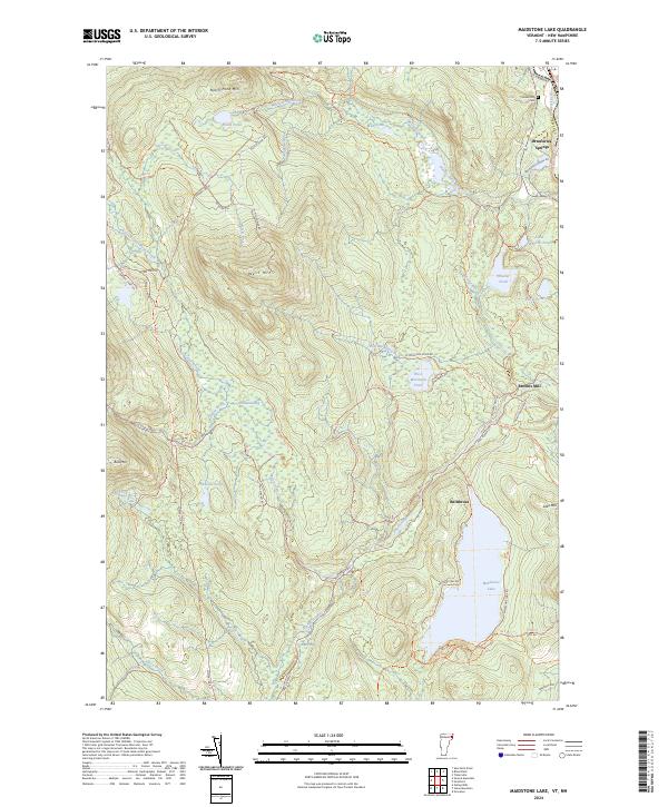 2024 Maidstone Lake2024 Print · USGSMaidstone Lake and the upper Connecticut River valley are shown in contemporary detail within this Essex County wilderness. Researchers can trace the legacy of local industry and settlement at Brunswick Springs, Browns Mill, and the small Cem near the riverbank.
 - 2024 Map of Bloomfield, 2024 Print
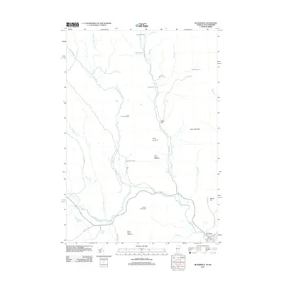
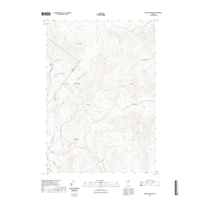
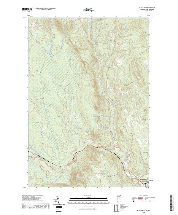 2024 Bloomfield2024 Print · USGSNorthern Vermont's wilderness comes into focus at this modern moment in Essex County. Genealogists and historians can trace the geography around Bloomfield and follow the paths of the Nulhegan River and Northern Forest Canoe Trl.
 - 2024 Map of Seneca Mountain, 2024 Print
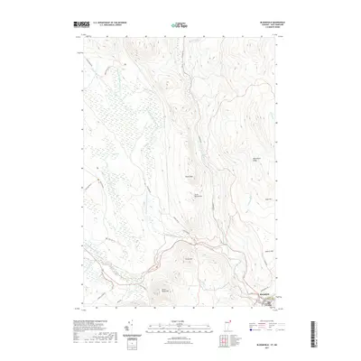
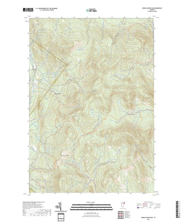 2024 Seneca Mountain2024 Print · USGSUpper Essex County and the Caledonia border appear as a network of high-elevation peaks and timberlands in the early twenty-first century. Genealogists and local historians can trace the Howard Family Cem or the isolated settlement of Lost Nation near the East Haven Range.
End of results
Showing maps 1-20 of 20
Top cities near Ferdinand
- Saint Johnsbury historical maps
- Lancaster historical maps
- Northumberland historical maps
- Lunenburg historical maps
- Concord historical maps
- Lyndon historical maps
See more
Top neighborhoods of Ferdinand
Frequently asked questions
- What are the different types of historical maps available for Ferdinand?
- What is the oldest map of Ferdinand?
- Where can I purchase historical maps of Ferdinand for my home or office?
- Where can I download high-res historical maps of Ferdinand?
- Are there historical topographic maps available for Ferdinand?
- Is there historical aerial imagery available for Ferdinand?
- Where are historical maps of Ferdinand sourced from?