2020s Maps of Swanton, Vermont
Explore 12 historic maps of Swanton from the 2020s. These maps offer a rare glimpse into what life looked like during the 2020s — showing old roads, neighborhoods, homes, and landmarks that have changed or disappeared over time.
Whether you're researching your family's past, planning a metal detecting trip, or studying how Swanton's landscape evolved across the 2020s, these high-resolution maps are a powerful tool for exploring the history of this region.
- Focus on a specific era: All maps on this page are from the 2020s, giving you a focused view of this time period.
- See what’s changed: Compare century-old streets, trails, and buildings to today's modern landscape using overlays and satellite layers.
- Research with precision: Use these maps for genealogy, historical research, land use analysis, or educational projects.
- View, download, or print: Maps are fully viewable online in high resolution, and can be downloaded or printed for your own records.
Start exploring Swanton's history through authentic maps from the 2020s. This is your window into the past.
Swanton, VT maps
(12)- 2021 Map of East Alburg OE N, 2021 Print
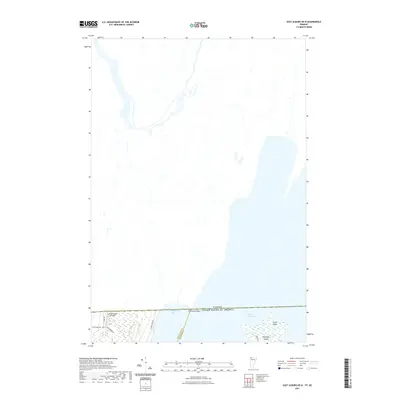 2021 East Alburg OE N2021 Print · USGSThe international border near Swanton meets the northern waters of Lake Champlain in this modern survey of the 45th parallel. Researchers can trace rural family-named landmarks like Greenwood Cemetery and Greenwoods Airfield near the shoreline of Chapman Bay.
 - 2021 Map of Saint Albans Bay, 2021 Print
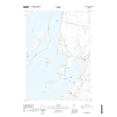 2021 Saint Albans Bay2021 Print · USGSThe eastern shores of Lake Champlain are documented here during the early twenty-first century, centered on the settlement at Saint Albans Bay. Local historians can trace the paths of Jewett Brook and Stevens Brook as they wind through the coastal lowlands of Franklin County.
 - 2021 Map of Saint Albans, 2021 Print
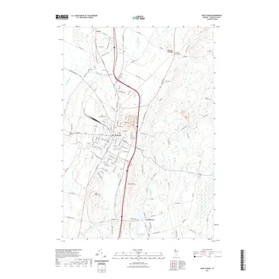 2021 Saint Albans2021 Print · USGSSaint Albans and its rural surroundings in Franklin County are captured in this recent survey. Local historians can trace family burial sites like Montefiore Cem and Kingsbury Cem or follow the path of the New England Central RR.
 - 2021 Map of East Alburg, 2021 Print
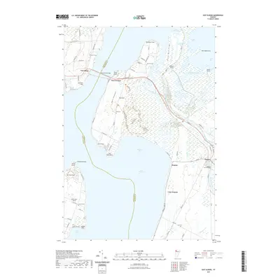 2021 East Alburg2021 Print · USGSThe northern reaches of Lake Champlain come into focus in the 2020s, showing the intricate connections between Swanton and the islands. Genealogists and local historians can trace the Old Railroad Passage Trl or locate legacy sites like Riverside Cem and the Swanton Covered Bridge.
 - 2021 Map of Fairfield, 2021 Print
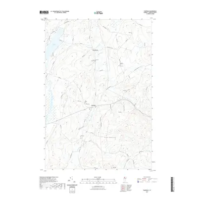 2021 Fairfield2021 Print · USGSFranklin County's rural landscape comes into focus in this contemporary survey of the foothills near the northern Green Mountains. Genealogists and local historians can locate numerous burial sites and family landmarks, from Saint Rocks Cem to Pumpkin Village Cem.
 - 2021 Map of Highgate Center, 2021 Print
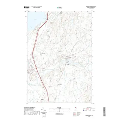 2021 Highgate Center2021 Print · USGSFranklin County's river-driven landscapes and historic townships are captured in this recent survey of the Missisquoi valley. Researchers can trace family history through a high density of rural burial grounds like Webster Cem, Platt Cem, and Saint Marys Cem.
 - 2024 Map of East Alburg OE N, 2024 Print
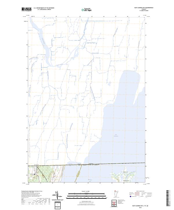 2024 East Alburg OE N2024 Print · USGSThe northernmost edge of Vermont meets the Canadian border in this recent survey of the Missisquoi basin. Researchers can trace the wetlands of the Missisquoi National Wildlife Refuge and locate family landmarks like Greenwood Cem and Greenwoods Airfield.
 - 2024 Map of Highgate Center, 2024 Print
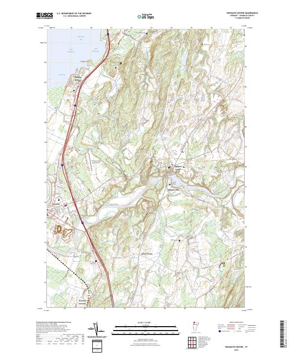 2024 Highgate Center2024 Print · USGSFranklin County, Vermont, shows its deep agricultural and river-centered roots in this contemporary survey of the Missisquoi Valley. Researchers can trace family history through numerous rural burial sites like Saint Marys Cem and Webster Cem, or explore the transit hubs of Swanton and Highgate Center.
 - 2024 Map of Saint Albans, 2024 Print
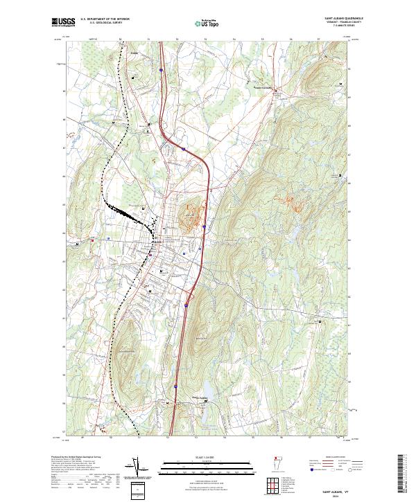 2024 Saint Albans2024 Print · USGSSt Albans and the hills of Franklin County are shown here in the 2020s, highlighting the area's dense civic center and rural reaches. Researchers can trace family history through Greenwood Cem, Holy Cross Ch, and the Franklin County Courthouse Civil Division.
 - 2024 Map of Saint Albans Bay, 2024 Print
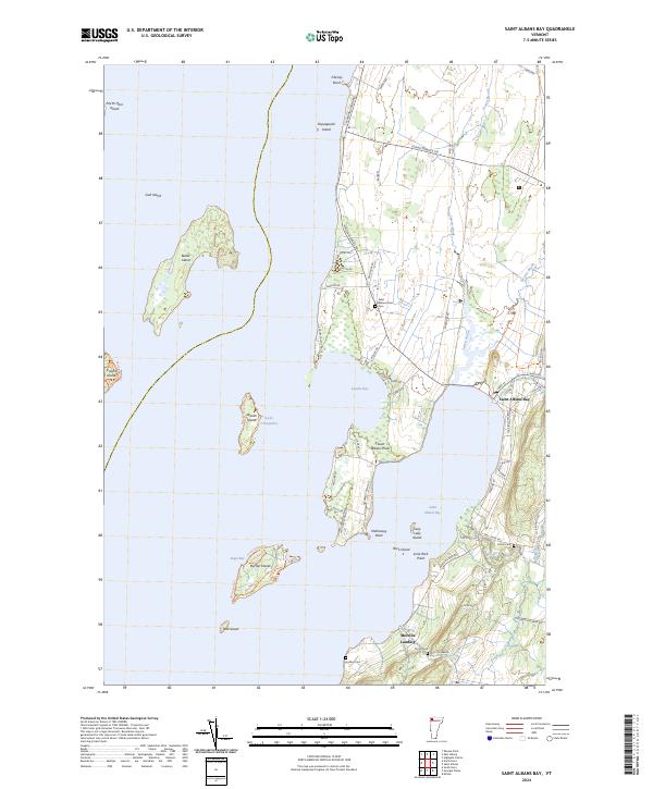 2024 Saint Albans Bay2024 Print · USGSFranklin County's shoreline along Lake Champlain is captured here in detail, showing the settled points and islands of the Vermont coast. Researchers can locate family burial sites like Evarts Cem and Hurlbut Cem or trace the docks at Melville Landing.
 - 2024 Map of Fairfield, 2024 Print
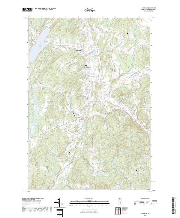 2024 Fairfield2024 Print · USGSNorthern Vermont's Green Mountains and rural valley settlements are captured in this contemporary survey of Franklin County. Researchers can trace family history through numerous burial grounds like Saint Rocks Cem, Diamond Cem, and Fairview Cem while navigating the river-and-road network.
 - 2024 Map of East Alburg, 2024 Print
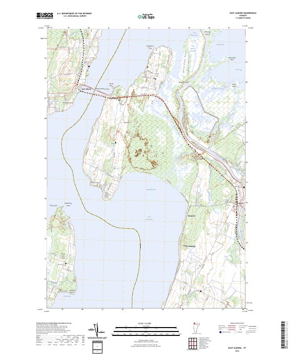 2024 East Alburg2024 Print · USGSThe islands and peninsulas of northern Lake Champlain are shown in their contemporary state, where the river delta meets the bay. Researchers can trace the Lamoille Valley Rail Trl or locate several burial grounds like Reynolds Cem and Riverside Cem.
End of results
Showing maps 1-12 of 12
Top cities near Swanton
- Saint Albans City historical maps
- Champlain historical maps
- Beekmantown historical maps
- Fairfax historical maps
- Chazy historical maps
- Milton historical maps
See more
Top neighborhoods of Swanton
- Swanton Village historical maps
- Fonda historical maps
- West Swanton historical maps
- Maquam historical maps
- Greens Corners historical maps
- Skeels Corner historical maps
See more
Frequently asked questions
- What are the different types of historical maps available for Swanton?
- What is the oldest map of Swanton?
- Where can I purchase historical maps of Swanton for my home or office?
- Where can I download high-res historical maps of Swanton?
- Are there historical topographic maps available for Swanton?
- Is there historical aerial imagery available for Swanton?
- Where are historical maps of Swanton sourced from?