Old Maps of West Settlement, Johnson for Academic Research
Study the evolution of West Settlement with 15 high-resolution historic maps. Whether you're teaching, researching, or modeling changes in land use, these maps provide essential visual documentation of urban, environmental, and geographic change.
- Analyze long-term change: Track patterns in development, transportation, and natural features.
- Ideal for environmental or urban studies: Support academic projects with primary historical map data.
- Use in the classroom or lab: Educators and researchers rely on these maps to bring historical context to life.
These maps are a powerful tool for teaching, research, and visualizing how West Settlement has changed over the decades.
West Settlement, Johnson maps
(15)- 1927 Map of Hyde Park
 1927 Hyde Park1927 Print · USGSLamoille County was a landscape of small river towns and mountain hollows in the late twenties. Researchers can locate dozens of district schoolhouses like Wescome Sch, the local Talc Mine, and family burial grounds including Blake Cem.
 - 1930 Map of Hyde Park
 1930 Hyde Park1930 Print · USGSLamoille County in the late twenties shows a landscape of busy river towns and upland mines connected by the St Johnsbury and Lake Champlain Railroad. Trace early school districts like McKinistry Sch. or locate old operations at the Talc Mine and Upper Diggings.4 unique versions available
 - 1943 Map of Hyde Park
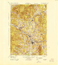 1943 Hyde Park1943 Print · USGSLamoille County during the mid-1940s shows a landscape of river-valley industry and upland hill farms. Researchers can locate dozens of country schoolhouses like Wiswell Sch and trace local mining history at the Talc Mine or the Lower Diggings.
 - 1950 Map of Lake Champlain
 1950 Lake Champlain1950 Print · USGSThe Lake Champlain valley and its surrounding peaks are captured in detail during the late 1940s, showing the vital rail and road connections between New York and Vermont. Researchers can trace the routes of the Central Vermont Railway or locate old industrial centers like Mineville and Witherbee.2 unique versions available
 - 1953 Map of Hyde Park, 1955 Print
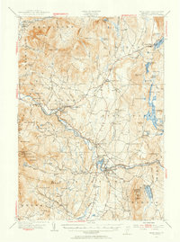 1953 Hyde Park1955 Print · USGSLamoille County in the early fifties shows a mountain landscape shaped by the St Johnsbury and Lake Champlain Railroad and the timber-and-talc economy. Researchers can locate local landmarks like the State Teachers College, the Talc Mine, and family burial grounds like La Porte Cem.4 unique versions available
 - 1958 Map of Lake Champlain
 1958 Lake Champlain1958 Print · USGSThe Champlain Valley and surrounding high peaks are captured here in the late fifties, showcasing the cross-border region from the Adirondacks to the Green Mountains. Researchers can trace historic rail routes like the Rutland Railway or locate old valley settlements such as Keeseville and Vergennes.2 unique versions available
 - 1962 Map of Lake Champlain, 1975 Print
 1962 Lake Champlain1975 Print · USGSLake Champlain and the high peaks of the Adirondacks and Green Mountains are captured here during the mid-twentieth century. Researchers can trace the industrial legacy of the Lyon Mountain Mine and the rail corridors of the Central Vermont RR and Delaware & Hudson RR.3 unique versions available
 - 1986 Map of Sterling Mountain, 1987 Print
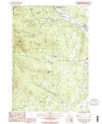 1986 Sterling Mountain1987 Print · USGSThe northern Green Mountains come into sharp focus in the mid-1980s as forestry and small valley settlements intersect. Researchers can trace the quiet corners of Mt Mansfield State Forest and locate specific sites like West Settlement, Mud City, and a historic Covered Br.2 unique versions available
 - 1989 Map of Mount Mansfield
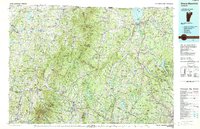 1989 Mount Mansfield1989 Print · USGSNorthern Vermont in the late eighties remains a landscape of deep forests and isolated mountain villages. Genealogists and hikers can trace the old rail lines of the Canadian Pacific RR or locate family sites near Lake Willoughby and Brownington Village.
 - 1998 Map of Sterling Mountain, 2001 Print
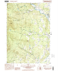 1998 Sterling Mountain2001 Print · USGSThe Sterling Range and Mt. Mansfield State Forest define the Vermont landscape at the end of the millennium. Genealogists and hikers can trace old routes near West Settlement, Mud City, and the slopes of Sterling Mtn.
 - 2012 Map of Sterling Mountain, 2012 Print
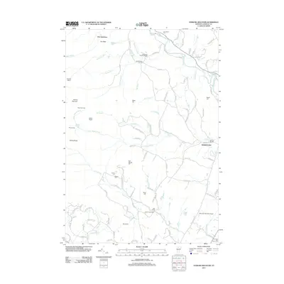 2012 Sterling Mountain2012 Print · USGSLamoille County highlands are captured here in the early twenty-first century, showing the rugged divide between the Sterling Range and the Lamoille River valley. Researchers can locate ancestral sites at Sterling Cem, trace the historic Waterman Covered Bridge, or find the remote West Settlement.
 - 2015 Map of Sterling Mountain, 2015 Print
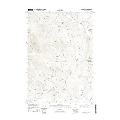 2015 Sterling Mountain2015 Print · USGSThe Lamoille River valley and the heights of the Green Mountains are shown here in the mid-2010s as a landscape of rural settlements and high ridges. Researchers can pinpoint historic sites like the Waterman Covered Bridge, West Settlement, and the Old Catholic Cem.
 - 2018 Map of Sterling Mountain, 2018 Print
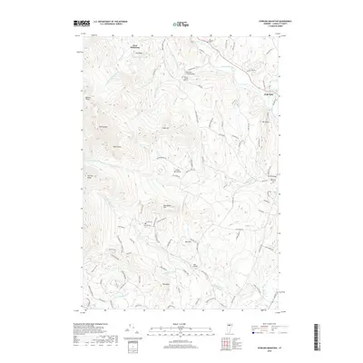 2018 Sterling Mountain2018 Print · USGSThe northern Lamoille Valley and the heights of the Sterling Range appear here in the early twenty-first century. Genealogists and local historians can trace the locations of the Waterman Covered Bridge, the Old Catholic Cem, and the high-elevation West Settlement.
 - 2021 Map of Sterling Mountain, 2021 Print
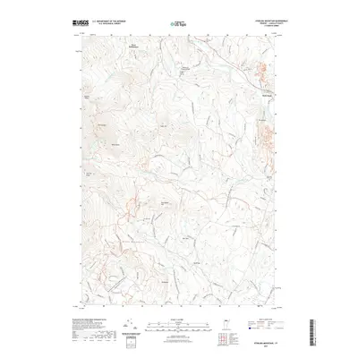 2021 Sterling Mountain2021 Print · USGSLamoille County, Vermont, remains a land of steep ridges and river valleys in this 2021 survey of the Green Mountains. Genealogists and historians can locate quiet burial sites like Bidwell French Hill Cem and the historic Waterman Covered Bridge near the Lamoille River.
 - 2024 Map of Sterling Mountain, 2024 Print
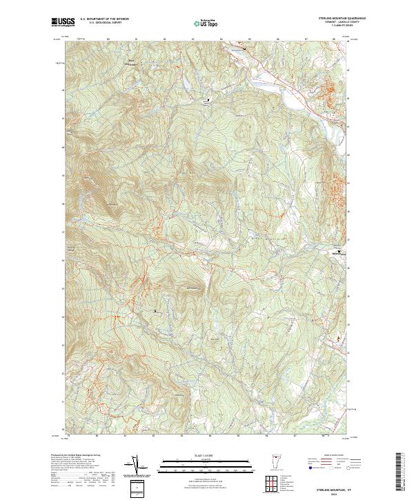 2024 Sterling Mountain2024 Print · USGSThe high ridges of the Green Mountains near Morristown are captured here in the 2020s, showing a terrain defined by both wilderness and old valley settlements. Genealogists and hikers can trace family-named sites like French Hill Cem, West Settlement, and the storied path of the Long Trl.
End of results
Showing maps 1-15 of 15
Top cities near West Settlement
- Waterbury historical maps
- Stowe historical maps
- Fairfax historical maps
- Richmond historical maps
- Cambridge Village historical maps
- Johnson historical maps
See more
Frequently asked questions
- What are the different types of historical maps available for West Settlement?
- What is the oldest map of West Settlement?
- Where can I purchase historical maps of West Settlement for my home or office?
- Where can I download high-res historical maps of West Settlement?
- Are there historical topographic maps available for West Settlement?
- Is there historical aerial imagery available for West Settlement?
- Where are historical maps of West Settlement sourced from?