Old Maps of Brownington, Vermont for Academic Research
Study the evolution of Brownington with 27 high-resolution historic maps. Whether you're teaching, researching, or modeling changes in land use, these maps provide essential visual documentation of urban, environmental, and geographic change.
- Analyze long-term change: Track patterns in development, transportation, and natural features.
- Ideal for environmental or urban studies: Support academic projects with primary historical map data.
- Use in the classroom or lab: Educators and researchers rely on these maps to bring historical context to life.
These maps are a powerful tool for teaching, research, and visualizing how Brownington has changed over the decades.
Brownington, VT maps
(27)- 1919 Map of Lake Memphremagog, 1920 Print
 1919 Lake Memphremagog1920 Print · USGSOrleans County, Vermont, sits at the international border following the Great War, showing a landscape defined by rail lines and lakefront commerce. Genealogists can locate family-named landmarks like Glines Corner, Hayes Corner, and the rural community of Brownington Village.
 - 1920 Map of Derby
 1920 Derby1920 Print · USGSNorthern Vermont at the turn of the century shows a landscape of tight-knit border hamlets and lakeside rail hubs. Genealogists can trace family landmarks like Kingsbury Cor. and Hayes Corner or follow the tracks of the CANADIAN PACIFIC R.R. through Newport.
 - 1923 Map of Lake Memphremagog
 1923 Lake Memphremagog1923 Print · USGSOrleans County sits along the international border in the early 1920s, showing a landscape of hill farms and granite works. Genealogists can locate dozens of specific rural school sites like Morgan Gore School and vanished stations such as Coventry Station.
 - 1925 Map of Memphremagog
 1925 Memphremagog1925 Print · USGSThe international boundary and the shores of Lake Memphremagog define this Orleans County landscape in the mid-1920s. Researchers can trace the village life of Derby Line, find dozens of rural schools like Morgan Gore School, and locate the Willey Granite Quarry.4 unique versions available
 - 1950 Map of Lake Champlain
 1950 Lake Champlain1950 Print · USGSThe Lake Champlain valley and its surrounding peaks are captured in detail during the late 1940s, showing the vital rail and road connections between New York and Vermont. Researchers can trace the routes of the Central Vermont Railway or locate old industrial centers like Mineville and Witherbee.2 unique versions available
 - 1953 Map of Memphremagog, 1955 Print
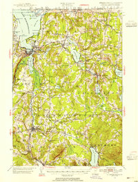 1953 Memphremagog1955 Print · USGSThe Vermont-Quebec borderlands come alive in this mid-century survey of the Northeast Kingdom, showing the region's rail-and-water commerce. Researchers can trace family roots at Brownington Village, find the Willey Granite Quarry, or locate the St Theresa Ch in Barton.5 unique versions available
 - 1958 Map of Lake Champlain
 1958 Lake Champlain1958 Print · USGSThe Champlain Valley and surrounding high peaks are captured here in the late fifties, showcasing the cross-border region from the Adirondacks to the Green Mountains. Researchers can trace historic rail routes like the Rutland Railway or locate old valley settlements such as Keeseville and Vergennes.2 unique versions available
 - 1962 Map of Lake Champlain, 1975 Print
 1962 Lake Champlain1975 Print · USGSLake Champlain and the high peaks of the Adirondacks and Green Mountains are captured here during the mid-twentieth century. Researchers can trace the industrial legacy of the Lyon Mountain Mine and the rail corridors of the Central Vermont RR and Delaware & Hudson RR.3 unique versions available
 - 1986 Map of Westmore
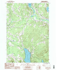 1986 Westmore1986 Print · USGSOrleans County, Vermont, during the mid-1980s reveals a landscape defined by deep glacial waters and mountain ridges. Trace local genealogy and recreation history near Westmore and Lake Willoughby, or locate the Cem and Campgrounds in the Willoughby State Forest.2 unique versions available
 - 1986 Map of Orleans
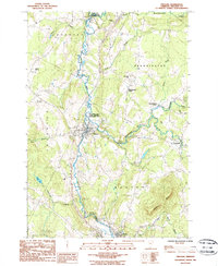 1986 Orleans1986 Print · USGSOrleans County in the mid-eighties shows a landscape of river-valley settlements and dairy-country hills. Genealogists and hikers can trace the geography of Orleans, Brownington Village, and the slopes of Barton Mtn near the Willoughby River.
 - 1986 Map of Newport, 1987 Print
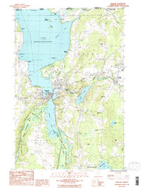 1986 Newport1987 Print · USGSOrleans County, Vermont, sits along the Canadian border in the mid-1980s, where the city of Newport anchors the southern tip of Lake Memphremagog. Researchers can trace old lakeside settlements like Beebe Plain and North Derby or locate landmarks such as the Newport Stake Light and Clyde Pond.2 unique versions available
 - 1989 Map of Mount Mansfield
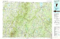 1989 Mount Mansfield1989 Print · USGSNorthern Vermont in the late eighties remains a landscape of deep forests and isolated mountain villages. Genealogists and hikers can trace the old rail lines of the Canadian Pacific RR or locate family sites near Lake Willoughby and Brownington Village.
 - 2012 Map of Orleans, 2012 Print
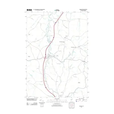 2012 Orleans2012 Print · USGSBrownington and Barton townships in the early twenty-first century maintain their classic Vermont character along the Barton River. Genealogists can trace numerous family burial grounds including Maple Street Cem and Brownington Center Cem.
 - 2012 Map of Westmore, 2012 Print
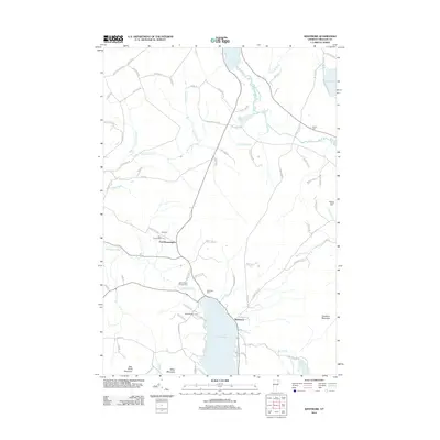 2012 Westmore2012 Print · USGSOrleans County is shown in detail during the early 21st century, centered on the glacial waters of Lake Willoughby. Researchers can trace family history through local sites like East Brownington, Lakeview Cem, and Songadeewin Camp.
 - 2012 Map of Newport, 2012 Print
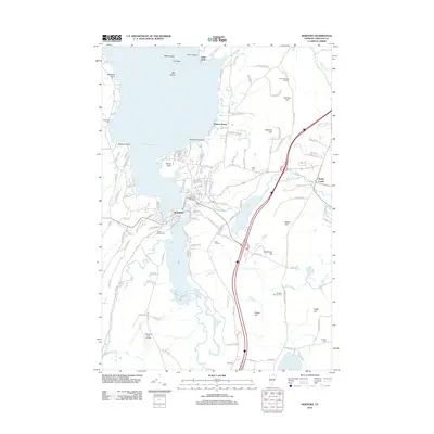 2012 Newport2012 Print · USGSNewport and the southern reaches of Lake Memphremagog are shown here in the early twenty-first century as the region balanced lakeside recreation with modern transit. Researchers can find numerous burial grounds like Saint Marys Cem or Day Cem and trace the winding course of the Clyde River.
 - 2015 Map of Orleans, 2015 Print
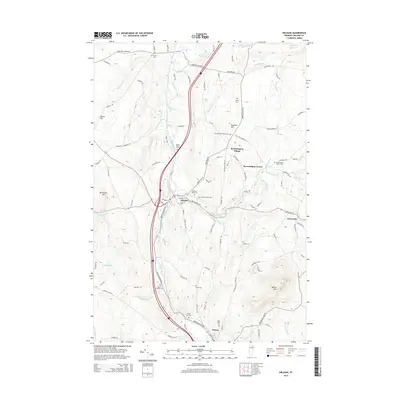 2015 Orleans2015 Print · USGSBarton and Orleans appear here during the mid-2010s, showing a landscape defined by the convergence of the Willoughby and Barton rivers. Researchers can trace numerous family-named landmarks and burial grounds like Abbot Lot Cem, Saint Pauls Cem, and Brownington Village.
 - 2015 Map of Westmore, 2015 Print
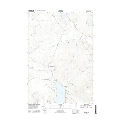 2015 Westmore2015 Print · USGSOrleans County, Vermont, remains a landscape of glacial lakes and steep mountain ridges in this 2015 study. Genealogists can locate family burial grounds at East Brownington Cem and trace homesteads along Sanderson Hill Rd or near Lake Willoughby.
 - 2015 Map of Newport, 2015 Print
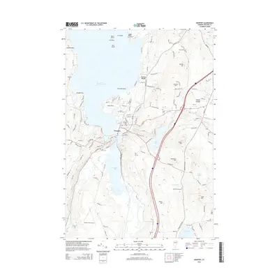 2015 Newport2015 Print · USGSNewport and its neighboring lakeside communities are captured here in the mid-2010s at the southern tip of Lake Memphremagog. Researchers can trace local heritage through numerous family and community burial grounds, such as Saint Marys Cem, Holebrook Cem, and Pine Hill Cem.
 - 2018 Map of Westmore, 2018 Print
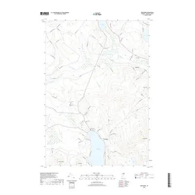 2018 Westmore2018 Print · USGSOrleans County is shown in this modern survey as a landscape of deep glacial lakes and mountain peaks. Genealogists can locate family burial sites at Lakeview Cem and Blyhill Cem while tracing the rural road network connecting Westmore and Orleans.
 - 2018 Map of Newport, 2018 Print
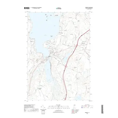 2018 Newport2018 Print · USGSThe southern tip of Lake Memphremagog meets the city of Newport in this recent survey of the Vermont highlands. Genealogists can trace family burial sites at Saint Marys Cem and Morrill - Darling Hill Cem or explore the shores of South Bay.
 - 2018 Map of Orleans, 2018 Print
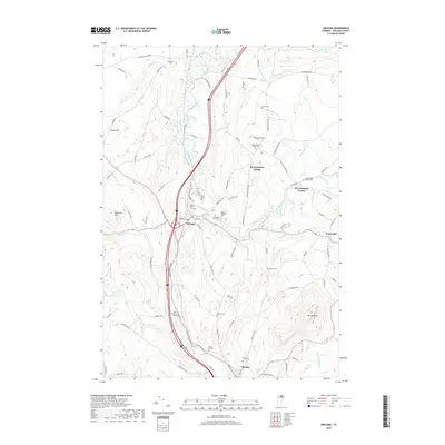 2018 Orleans2018 Print · USGSOrleans County at the turn of the millennium remains a landscape of river valleys and historic village centers. Researchers can trace family sites at Maple Street Cem, follow the Barton River, and locate landmarks like Brownington Village or Barton Mtn.
 - 2021 Map of Newport, 2021 Print
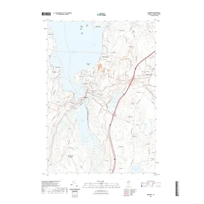 2021 Newport2021 Print · USGSThe Lake Memphremagog shoreline and the city of Newport are captured here in the early twenty-first century. Genealogists and local historians can trace family plots at Morrill-Darling Hill Cem or Saint Marys Cem and locate the historic Bobbin Mill.
 - 2021 Map of Westmore, 2021 Print
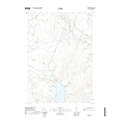 2021 Westmore2021 Print · USGSThe Northeast Kingdom's highland terrain and deep glacial waters are meticulously detailed in this recent survey. Researchers can trace family roots through Lakeview Cem and Blyhill Cem, or locate landmarks like Goodwin Mtn and Pensioner Pond.
 - 2021 Map of Orleans, 2021 Print
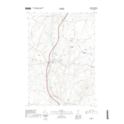 2021 Orleans2021 Print · USGSThe northern Vermont townships of Brownington and Barton are documented here in recent years, showing a landscape defined by river valleys and upland hills. Genealogists can trace family footprints at Maple Street Cem, Saint Pauls Cem, and along the banks of the Willoughby River.
 - 2024 Map of Westmore, 2024 Print
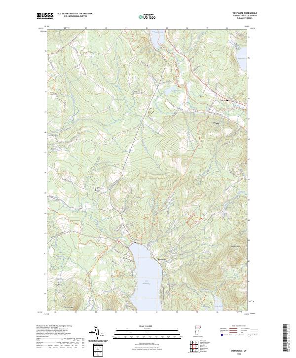 2024 Westmore2024 Print · USGSVermont’s Northeast Kingdom appears in contemporary detail, showing the rural landscape around the deep waters of Lake Willoughby. Researchers can locate family landmarks such as Blyhill Cem and East Brownington Cem or follow the route of the Northern Forest Canoe Trl.
Showing maps 1-25 of 27
Top cities near Brownington
- Newport City historical maps
- Newport historical maps
- Barton historical maps
- Craftsbury historical maps
- Irasburg historical maps
- Glover historical maps
See more
Top neighborhoods of Brownington
- East Brownington historical maps
- Brownington Village historical maps
- Brownington Center historical maps
- Evansville historical maps
- Brownington Village Historic District historical maps
Frequently asked questions
- What are the different types of historical maps available for Brownington?
- What is the oldest map of Brownington?
- Where can I purchase historical maps of Brownington for my home or office?
- Where can I download high-res historical maps of Brownington?
- Are there historical topographic maps available for Brownington?
- Is there historical aerial imagery available for Brownington?
- Where are historical maps of Brownington sourced from?