2000s (21st Century) Maps of Jay, Vermont
Explore 20 historic maps of Jay from the 2000s (21st Century). These maps offer a rare glimpse into what life looked like during the 2000s — showing old roads, neighborhoods, homes, and landmarks that have changed or disappeared over time.
Whether you're researching your family's past, planning a metal detecting trip, or studying how Jay's landscape evolved across the 2000s, these high-resolution maps are a powerful tool for exploring the history of this region.
- Focus on a specific era: All maps on this page are from the 2000s, giving you a focused view of this time period.
- See what’s changed: Compare century-old streets, trails, and buildings to today's modern landscape using overlays and satellite layers.
- Research with precision: Use these maps for genealogy, historical research, land use analysis, or educational projects.
- View, download, or print: Maps are fully viewable online in high resolution, and can be downloaded or printed for your own records.
Start exploring Jay's history through authentic maps from the 2000s. This is your window into the past.
Jay, VT maps
(20)- 2012 Map of North Troy, 2012 Print
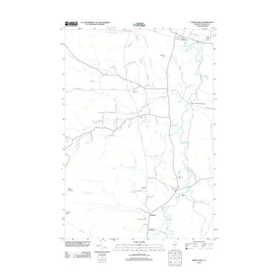 2012 North Troy2012 Print · USGSCovers Jay, including Troy, North Troy, and other nearby areas
 - 2012 Map of Jay Peak, 2012 Print
 2012 Jay Peak2012 Print · USGSCovers Jay, including Richford, Montgomery, and other nearby areas
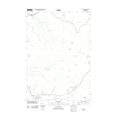
 - 2012 Map of Jay Peak OE N, 2012 Print
 2012 Jay Peak OE N2012 Print · USGSCovers Jay, including Richford, Sutton, and other nearby areas
 - 2012 Map of North Troy OE N, 2012 Print
 2012 North Troy OE N2012 Print · USGSCovers Jay, including Troy, North Troy, and other nearby areas
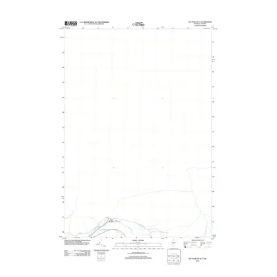
 - 2015 Map of Jay Peak OE N, 2015 Print
 2015 Jay Peak OE N2015 Print · USGSCovers Jay, including Richford, Sutton, and other nearby areas
 - 2015 Map of North Troy OE N, 2015 Print
 2015 North Troy OE N2015 Print · USGSCovers Jay, including Troy, North Troy, and other nearby areas
 - 2015 Map of Jay Peak, 2015 Print
 2015 Jay Peak2015 Print · USGSCovers Jay, including Richford, Montgomery, and other nearby areas
 - 2015 Map of North Troy, 2015 Print
 2015 North Troy2015 Print · USGSCovers Jay, including Troy, North Troy, and other nearby areas
 - 2018 Map of Jay Peak OE N, 2018 Print
 2018 Jay Peak OE N2018 Print · USGSCovers Jay, including Richford, Sutton, and other nearby areas
 - 2018 Map of Jay Peak, 2018 Print
 2018 Jay Peak2018 Print · USGSCovers Jay, including Richford, Montgomery, and other nearby areas
 - 2018 Map of North Troy, 2018 Print
 2018 North Troy2018 Print · USGSCovers Jay, including Troy, North Troy, and other nearby areas
 - 2018 Map of North Troy OE N, 2018 Print
 2018 North Troy OE N2018 Print · USGSCovers Jay, including Troy, North Troy, and other nearby areas
 - 2021 Map of North Troy OE N, 2021 Print
 2021 North Troy OE N2021 Print · USGSCovers Jay, including Troy, North Troy, and other nearby areas
 - 2021 Map of Jay Peak OE N, 2021 Print
 2021 Jay Peak OE N2021 Print · USGSCovers Jay, including Richford, Sutton, and other nearby areas
 - 2021 Map of Jay Peak, 2021 Print
 2021 Jay Peak2021 Print · USGSCovers Jay, including Richford, Montgomery, and other nearby areas
 - 2021 Map of North Troy, 2021 Print
 2021 North Troy2021 Print · USGSCovers Jay, including Troy, North Troy, and other nearby areas
 - 2024 Map of Jay Peak, 2024 Print
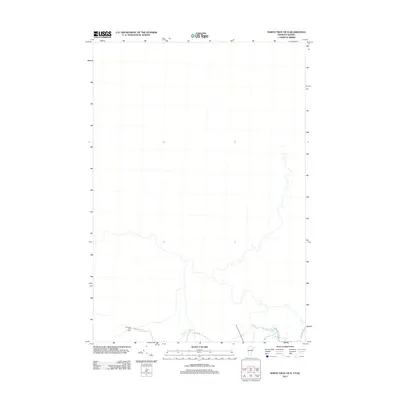
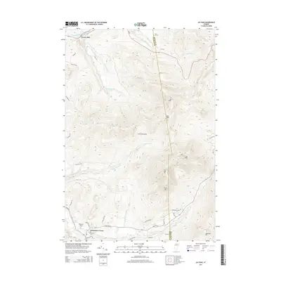
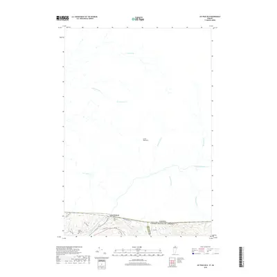
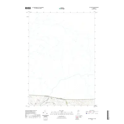
 2024 Jay Peak2024 Print · USGSThe high ridgelines of the Green Mountains define this Vermont borderland in the early twenty-first century. Genealogists and local historians can trace family roots through Saint Isidore Cem and Montgomery Center Cem or follow the path of The Long Trl past Big Jay.
 - 2024 Map of North Troy OE N, 2024 Print
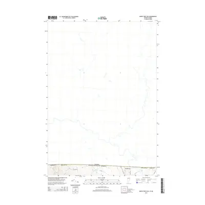
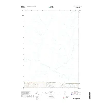
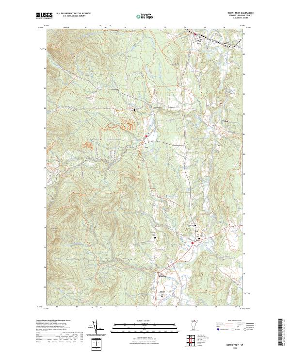
 2024 North Troy OE N2024 Print · USGSThe international border near the Green Mountains comes into focus in this contemporary survey. Trace the northern reaches of The Long Trl and Journey's End Trl as they approach North Troy and the Canada-U.S. border.
 - 2024 Map of Jay Peak OE N, 2024 Print
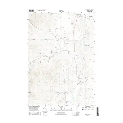
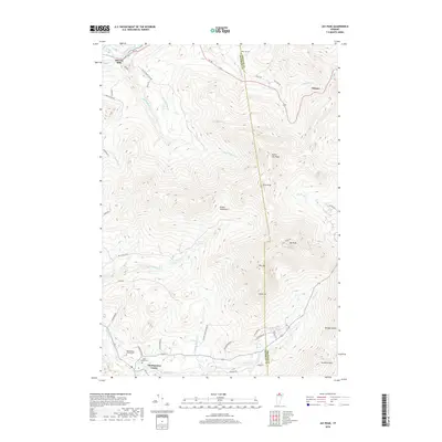
 2024 Jay Peak OE N2024 Print · USGSThe northern borderlands of Vermont and Quebec meet at the settlement of East Richford in this contemporary topographic survey. Researchers can locate family landmarks at the East Richford Cem or trace the winding course of the Missisquoi River through the Green Mountains.
 - 2024 Map of North Troy, 2024 Print
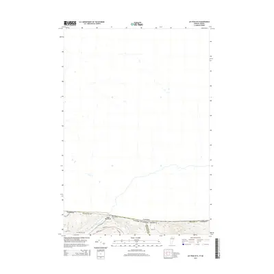
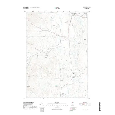
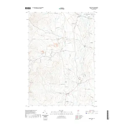
 2024 North Troy2024 Print · USGSOrleans County, Vermont, maintains its character as a river-centric mountain region in this recent survey. Researchers can trace family history through several local burial grounds like West Road Cem and find landmarks such as Phillips Pond and Warner Hill.
End of results
Showing maps 1-20 of 20
Top cities near Jay
- Barton historical maps
- Richford historical maps
- Berkshire historical maps
- Bakersfield historical maps
- Irasburg historical maps
- Montgomery historical maps
See more
Frequently asked questions
- What are the different types of historical maps available for Jay?
- What is the oldest map of Jay?
- Where can I purchase historical maps of Jay for my home or office?
- Where can I download high-res historical maps of Jay?
- Are there historical topographic maps available for Jay?
- Is there historical aerial imagery available for Jay?
- Where are historical maps of Jay sourced from?