Old Maps of Danby, Vermont for Hiking & Exploration
Hike through history with 39 historic maps of Danby. Explore old trails, ghost towns, and forgotten backroads — perfect for outdoor adventurers and local explorers.
- Rediscover forgotten places: Map out old mining camps, roads, and footpaths that no longer exist on modern maps.
- Layer with modern tools: Combine with LiDAR or satellite views to plan hikes through historical terrain.
- Made for exploration: Popular among hikers, overlanders, and local history lovers.
Use these maps to find adventure and explore the hidden past of Danby.
Danby, VT maps
(39)- 1893 Map of Wallingford
 1893 Wallingford1893 Print · USGSThe Green Mountains of Rutland County appear in the 1890s as a landscape of busy rail corridors and upland villages. Genealogists can trace family names and small industrial hubs like Mechanicsville, Cuttingsville, and the remote mountain settlement of Griffith.8 unique versions available
 - 1894 Map of Pawlet, 1964 Print
 1894 Pawlet1964 Print · USGSRutland and Bennington Counties at the close of the nineteenth century reveal a rugged landscape of rail-linked valley towns and high mountain hollows. Genealogists can locate family lands near Middletown Springs, Danby Four Corners, or the remote Burnham Hollow.
 - 1897 Map of Pawlet
 1897 Pawlet1897 Print · USGSVermont's Taconic borderlands are captured here in the late nineteenth century, showing a landscape of high peaks and tightly clustered valley settlements. Researchers can trace the routes of the DELAWARE AND HUDSON RR or locate vanished hamlets like Spanktown and Brimstone Corners.8 unique versions available
 - 1903 Map of Mettawee
 1903 Mettawee1903 Print · USGSThe New York and Vermont borderlands come alive in this turn-of-the-century survey of the Mettawee Valley. Genealogists can trace family footprints from Middletown Springs down to the Saratoga and Champlain Canal at Fort Ann.2 unique versions available
 - 1950 Map of Glens Falls
 1950 Glens Falls1950 Print · USGSThe Adirondacks and the Green Mountains meet in this mid-century survey of the New York and Vermont borderlands. Researchers can trace the industrial rail corridors of the Rutland RR and Delaware & Hudson RR connecting Glens Falls, Rutland, and the shores of Lake George.
 - 1955 Map of Wallingford, 1958 Print
 1955 Wallingford1958 Print · USGSThe Green Mountains in the mid-1950s show a landscape of high-elevation villages and deep forest tracts. Genealogists and hikers can trace old landmarks like Weston Priory, Landgrove Sch, and the remote Ten Kilns site.3 unique versions available
 - 1956 Map of Glens Falls, 1968 Print
 1956 Glens Falls1968 Print · USGSUpper New York and the Vermont mountains are captured here in the mid-fifties, showing the rugged rail-and-river network of the Northeast. Researchers can trace the paths of the Delaware and Hudson RR and Rutland RR as they wind through valley towns like Poultney and Whitehall.3 unique versions available
 - 1959 Map of Glens Falls
 1959 Glens Falls1959 Print · USGSUpper New York and Vermont are captured here during the late 1950s, a period of transition for these mountain communities. Researchers can trace the legacy of the region's river-and-rail economy through landmarks like Lake George, Saratoga Springs, and Killington Peak.2 unique versions available
 - 1964 Map of Glens Falls
 1964 Glens Falls1964 Print · USGSThe tri-state borderlands of New York, Vermont, and New Hampshire appear here in the mid-1960s. Researchers can trace the rail routes of the Rutland RR and find historic sites like Ticonderoga and Saratoga National Historical Park.
 - 1967 Map of Middletown Springs, 1972 Print
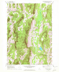 1967 Middletown Springs1972 Print · USGSMiddletown Springs and the surrounding Taconic foothills appear here during the late 1960s, a period of transition for these rural Vermont communities. Genealogists and local historians can locate family plots at Tinmouth Cem or Staples Cem and trace old homesteads near Chipman Lake.3 unique versions available
 - 1967 Map of Dorset, 1972 Print
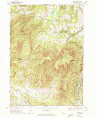 1967 Dorset1972 Print · USGSRutland and Bennington Counties are shown here in the late sixties as the mountain marble industry and valley farming shaped the landscape. Researchers can trace the Incline RR near Freedleyville or locate old family plots at Maple Grove Cem.2 unique versions available
 - 1985 Map of Claremont, 1986 Print
 1985 Claremont1986 Print · USGSUpper Valley and Green Mountain life are captured here in the mid-eighties, centered on the river-linked hubs of Claremont and Springfield. Trace old family routes and rail lines like the Boston & Maine RR, or locate properties near Lake Sunapee and Mount Ascutney State Park.2 unique versions available
 - 1986 Map of Glens Falls
 1986 Glens Falls1986 Print · USGSThe Upper Hudson Valley and Vermont borderlands come together in this mid-eighties survey of industrial river towns and mountain retreats. Genealogists and historians can trace the rail lines of the Delaware and Hudson Railway or locate landmarks like the Mount McGregor Correctional Facility and Saratoga Spa State Park.2 unique versions available
 - 1986 Map of Danby, 1987 Print
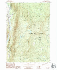 1986 Danby1987 Print · USGSThe Green Mountains of the mid-eighties rise above the Otter Creek valley, where Danby and Mount Tabor meet the forest edge. Trace the path of the Appalachian Trail over summits like Baker Peak and find the historic South End Cem.2 unique versions available
 - 1986 Map of Wallingford, 1987 Print
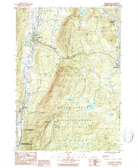 1986 Wallingford1987 Print · USGSVermont's Green Mountains were well-established as a recreational and industrial hub in the mid-1980s. Local researchers can trace the winding Appalachian Trail through the Green Mountain National Forest or locate valley landmarks like the Marble Quarry and Elfin Lake.
 - 1989 Map of Glens Falls
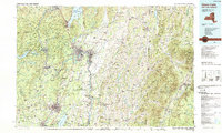 1989 Glens Falls1989 Print · USGSThe Upper Hudson Valley and the Vermont borderlands are captured here during the late eighties, showing a landscape of river-town industry and mountain recreation. Researchers can trace the Champlain Canal, the Delaware and Hudson RR, and historic sites like Saratoga National Historical Park.
 - 1997 Map of Dorset, 2000 Print
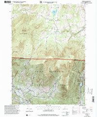 1997 Dorset2000 Print · USGSThe Green Mountains of Vermont during the late nineties reveal a landscape of high-elevation peaks and narrow valley settlements. Genealogists and historians can trace family sites at Maple Grove Cem or locate industrial stone works at the Quarries near Freedleyville.
 - 1997 Map of Danby, 2000 Print
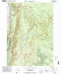 1997 Danby2000 Print · USGSThe Green Mountains of Rutland and Bennington counties are shown here in the late nineties, documenting a landscape of deep timber and high ridges. Researchers can trace the Appalachian Long Trail past historical sites like Old Job and the South End Cem.
 - 1997 Map of Wallingford, 2000 Print
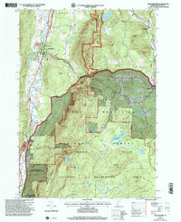 1997 Wallingford2000 Print · USGSThe Green Mountains and the Otter Creek valley meet in this Vermont landscape during the late twentieth century. Genealogists and hikers can trace the Appalachian Trail, locate the Marble Quarry, or find family landmarks like Homer Stone Mtn.
 - 2012 Map of Wallingford, 2012 Print
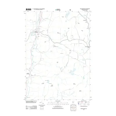 2012 Wallingford2012 Print · USGSRutland County's mountain settlements and valley villages are captured here in the early twenty-first century. Genealogists and local historians can trace burial sites from Laurel Glen Cem to Hill Roberts Cem, or locate landmarks like the Ice Beds and Cuttingsville.
 - 2012 Map of Danby, 2012 Print
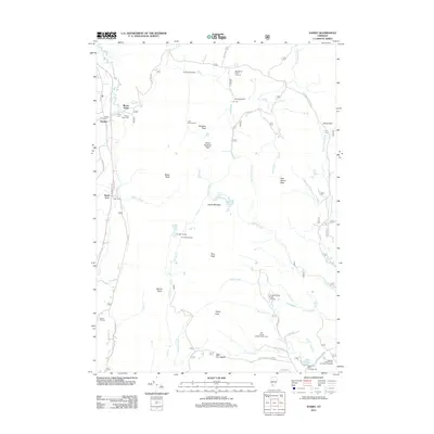 2012 Danby2012 Print · USGSThe Vermont mountains near Danby and Mount Tabor are captured here in the early twenty-first century. Researchers can trace family history at Young Cem or Bowen Hill Cem and explore the high country around Griffith Lake and Mad Tom Notch.
 - 2012 Map of Dorset, 2012 Print
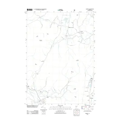 2012 Dorset2012 Print · USGSThe Taconic Mountains and the upper Mettawee River valley are shown in detail here during the early twenty-first century. Researchers can locate numerous family burial grounds and small hamlets, including the Quaker-Staples Farm Cem and the settlement of Dorset Hollow.
 - 2012 Map of Middletown Springs, 2012 Print
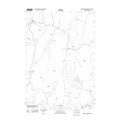 2012 Middletown Springs2012 Print · USGSMiddletown Springs and the surrounding Rutland County valleys are captured here in the early twenty-first century. Genealogists and local historians can trace family land via numerous burial sites like Wood Norton Cem and Cook Cem or locate old homesteads near Tinmouth and Scottsville.
 - 2015 Map of Wallingford, 2015 Print
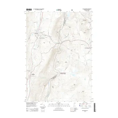 2015 Wallingford2015 Print · USGSThe village of Wallingford and its surrounding hamlets are captured here in the mid-2010s, showing the intersection of valley settlements and high mountain wilderness. Genealogists and hikers can trace the Appalachian National Scenic Trail as it passes Little Rock Pond or locate family burial sites at Green Hill Cem and Laurel Glen Cem.
 - 2015 Map of Danby, 2015 Print
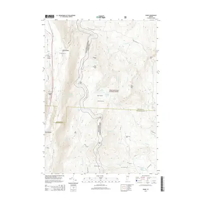 2015 Danby2015 Print · USGSIn the Green Mountains during the mid-2010s, the Otter Creek valley served as the primary artery for local life and transit. Researchers can trace several family burial sites like Bowen Hill Cem or follow the high-altitude path of the Appalachian National Scenic Trail through Mad Tom Notch.
Showing maps 1-25 of 39
Top cities near Danby
- Granville historical maps
- Manchester historical maps
- Poultney Village historical maps
- Poultney historical maps
- Fair Haven historical maps
- Salem historical maps
See more
Top neighborhoods of Danby
- Scottsville historical maps
- Danby Four Corners historical maps
- Danby Village Historic District historical maps
Frequently asked questions
- What are the different types of historical maps available for Danby?
- What is the oldest map of Danby?
- Where can I purchase historical maps of Danby for my home or office?
- Where can I download high-res historical maps of Danby?
- Are there historical topographic maps available for Danby?
- Is there historical aerial imagery available for Danby?
- Where are historical maps of Danby sourced from?