2020s Maps of Washington County, Vermont
Explore 48 historic maps of Washington County from the 2020s. These maps offer a rare glimpse into what life looked like during the 2020s — showing old roads, neighborhoods, homes, and landmarks that have changed or disappeared over time.
Whether you're researching your family's past, planning a metal detecting trip, or studying how Washington County's landscape evolved across the 2020s, these high-resolution maps are a powerful tool for exploring the history of this region.
- Focus on a specific era: All maps on this page are from the 2020s, giving you a focused view of this time period.
- See what’s changed: Compare century-old streets, trails, and buildings to today's modern landscape using overlays and satellite layers.
- Research with precision: Use these maps for genealogy, historical research, land use analysis, or educational projects.
- View, download, or print: Maps are fully viewable online in high resolution, and can be downloaded or printed for your own records.
Start exploring Washington County's history through authentic maps from the 2020s. This is your window into the past.
Washington County, VT maps
(48)- 2021 Map of Cabot, 2021 Print
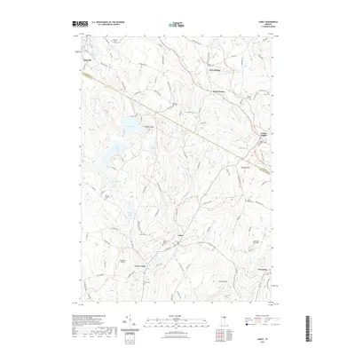 2021 Cabot2021 Print · USGSVermont's highland farming communities and the upper Winooski River are documented here in the early twenty-first century. Genealogists can trace family names through numerous hilltop burial sites like South Walden Cem and West Hill Cem.
 - 2021 Map of Woodbury, 2021 Print
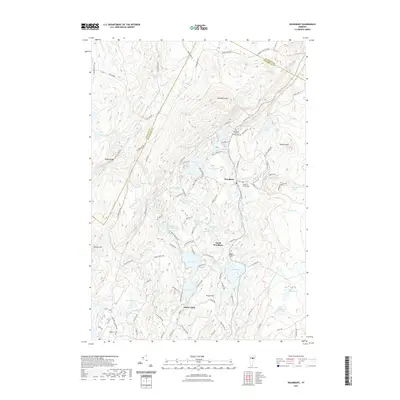 2021 Woodbury2021 Print · USGSThe hills of Washington and Lamoille counties are captured here in the early twenty-first century, showing a landscape of granite ridges and glacial ponds. Genealogists and local historians can trace family roots through sites like Ainsworth - North Bradish Cem and the settlements of South Woodbury and North Calais.
 - 2021 Map of Plainfield, 2021 Print
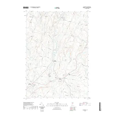 2021 Plainfield2021 Print · USGSThe rural villages of Washington County are shown in this modern survey during a period of preserved Vermont heritage. Researchers can trace historic family burial sites like Short Cem and Janes Cem, or locate landmarks such as the Old West Church and Goddard College.
 - 2021 Map of Mount Worcester, 2021 Print
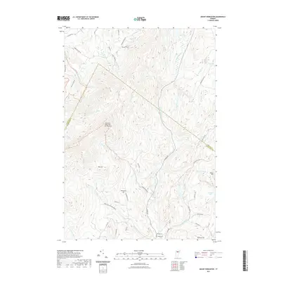 2021 Mount Worcester2021 Print · USGSLamoille and Washington Counties are captured here as they appeared in 2021, centered on the high peaks of the Mt Worcester range. Researchers can trace family history through the Mountain Cem and Village Cem or explore the drainage of the North Branch Winooski River.
 - 2021 Map of Roxbury, 2021 Print
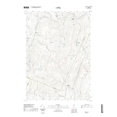 2021 Roxbury2021 Print · USGSVermont's Green Mountains meet at the junction of three counties in this recent survey of the Roxbury highlands. Genealogists and historians can trace family locations through numerous sites like Batchellor-Spaulding Cem and the Stony Brook Covered Bridge.
 - 2021 Map of Northfield, 2021 Print
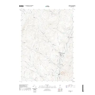 2021 Northfield2021 Print · USGSNorthfield and the Dog River valley are shown in the early twenty-first century as they wind through the Green Mountain foothills. Researchers can locate historic river crossings like the Slaughterhouse Covered Bridge and trace the campus grounds of Norwich University.
 - 2021 Map of Waterbury, 2021 Print
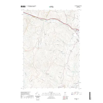 2021 Waterbury2021 Print · USGSThe Winooski River valley and the eastern slopes of the Green Mountains define this Vermont landscape in the early twenty-first century. Genealogists and hikers can locate multiple family-named burial sites like Landon - Hayden Cem and Phillips - Duxbury Hill Cem, or trace the winding course of Crossett Brook toward Duxbury.
 - 2021 Map of Middlesex, 2021 Print
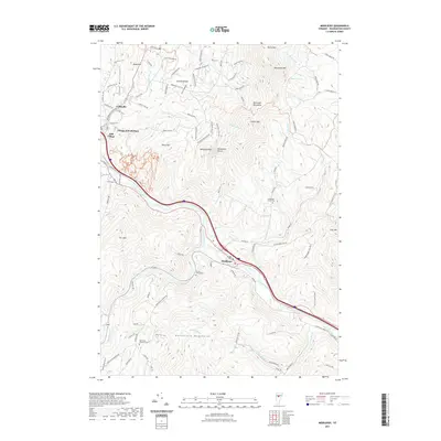 2021 Middlesex2021 Print · USGSThe Winooski River valley and surrounding mountain ranges define this region of Washington County during the early twenty-first century. Researchers can trace historic burial sites like Hawks-Eaton Cem and explore the residential growth of Colbyville and the Village of Waterbury.
 - 2021 Map of Bolton Mountain, 2021 Print
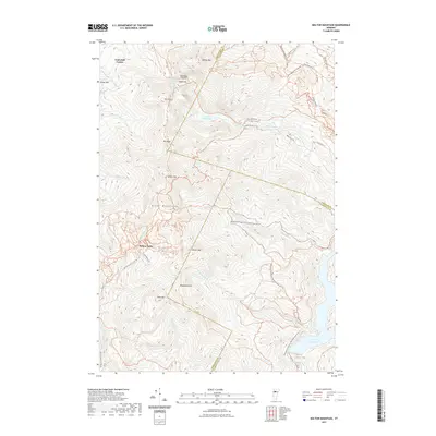 2021 Bolton Mountain2021 Print · USGSThe high peaks of the Green Mountains are shown in detail here during the 2020s, highlighting the rugged terrain where three counties meet. Trace recreational and historical routes like Nebraska Notch, the Puffer-Bowen Trl, and the waters of Lake Mansfield.
 - 2021 Map of Montpelier, 2021 Print
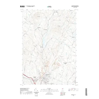 2021 Montpelier2021 Print · USGSMontpelier and its surrounding rural hamlets are captured here at the start of the 2020s. Genealogists and historians can trace family roots through numerous sites like Green Mount Cem, the New England Central RR, and Adamant.
 - 2021 Map of Mount Ellen, 2021 Print
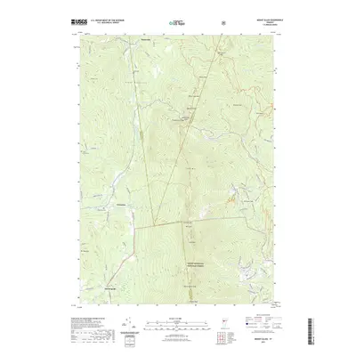 2021 Mount Ellen2021 Print · USGSThe high peaks of the Green Mountains are shown in detail during the early 2020s, featuring the intersection of mountain trails and historic valley settlements. Researchers can trace the path of the Long Trl past Molly Stark Mtn or locate small burial sites like Jerusalem Cem.
 - 2021 Map of Brookfield, 2021 Print
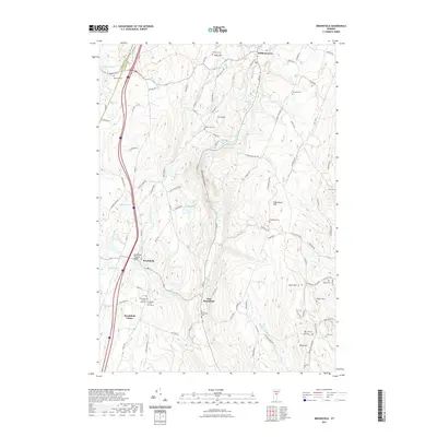 2021 Brookfield2021 Print · USGSVermont's hills and small villages are mapped here during the early 2020s, centered on the unique Brookfield Floating Bridge. Genealogists can trace family names through numerous burial sites including Goodridge Cem and West Hill Cem.
 - 2021 Map of Wolcott, 2021 Print
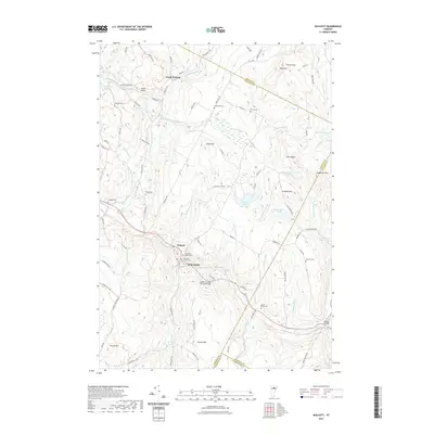 2021 Wolcott2021 Print · USGSNorthern Vermont highlands and the Lamoille River valley are documented here in recent detail. Researchers can locate several burial grounds like Fairmont Lower Cem and historic crossings including the Fisher Covered Railroad Bridge.
 - 2021 Map of Barre West, 2021 Print
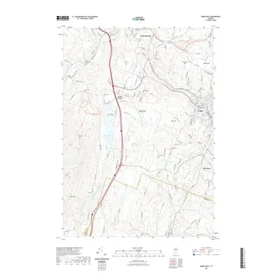 2021 Barre West2021 Print · USGSThe hill country between Montpelier and Barre comes into focus in this recent survey, showcasing the enduring geography of Central Vermont. Researchers can trace family history through a dozen legacy burial grounds like Black Cem and Howard Cem or explore landmarks like Berlin Pond and Paine Mtn.
 - 2021 Map of Marshfield, 2021 Print
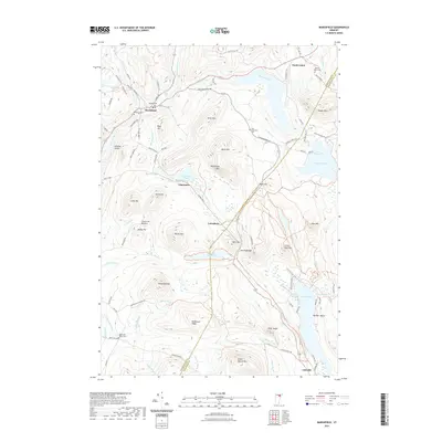 2021 Marshfield2021 Print · USGSMarshfield and the surrounding Washington County highlands are mapped here in the early twenty-first century. Researchers can trace historic family burial sites like Maple Hill-Bolles Cem and follow the old Railroad Bed through Lanesboro.
 - 2021 Map of Huntington, 2021 Print
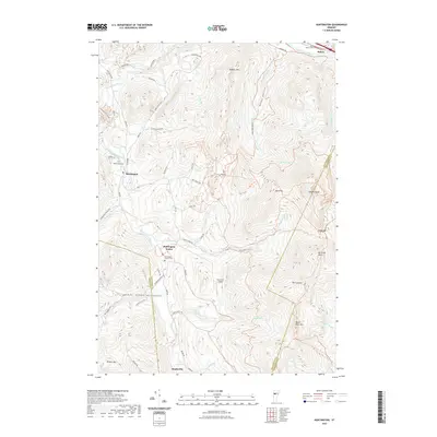 2021 Huntington2021 Print · USGSThe Huntington River valley is captured here in the twenty-first century, showing the rural communities of Chittenden County. Genealogists and hikers can trace sites from Maplewood Cem to the high peaks of Camels Hump and Mt Ethan Allen.
 - 2021 Map of Lincoln, 2021 Print
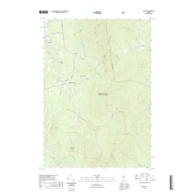 2021 Lincoln2021 Print · USGSThe high Green Mountains near Lincoln are documented here in the early twenty-first century, showcasing a landscape of high peaks and forest trails. Researchers can locate family sites at Johnson Cem or trace the path of the Long Trl past Mt Abraham.
 - 2021 Map of Peacham, 2021 Print
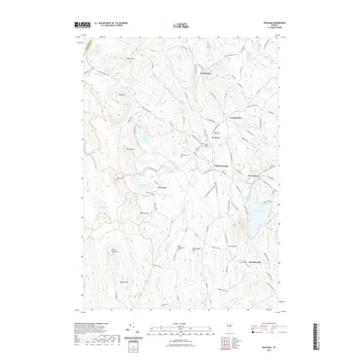 2021 Peacham2021 Print · USGSPeacham and the surrounding Caledonia County highlands are shown here in the contemporary era, illustrating a landscape shaped by classic Vermont village centers and mountain peaks. Genealogists can trace local burials and family names at Peacham Village Cemetery, Worcester Cem, and along Bailey-Hazen Rd.
 - 2021 Map of Knox Mountain, 2021 Print
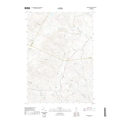 2021 Knox Mountain2021 Print · USGSHigh in the Vermont mountains during the early 2020s, this area shows a landscape of significant peaks and scattered upland cemeteries. Researchers can trace local history through family-named landmarks like Willey Hill and Allen Hill, or find ancestral sites at Westville Cem and Clement Cem.
 - 2021 Map of Barre East, 2021 Print
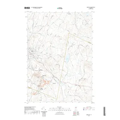 2021 Barre East2021 Print · USGSThe granite-producing heart of Vermont is captured here in the early twenty-first century, centered on the quarrying villages east of Barre. Local historians can trace the development of hilltop communities like Graniteville, Websterville, and Orange, alongside sites like Saint Sylvester Cem.
 - 2021 Map of Joes Pond, 2021 Print
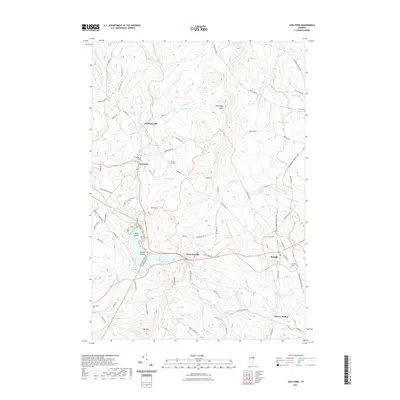 2021 Joes Pond2021 Print · USGSCaledonia County life is captured here in the early twenty-first century, showing the enduring rural layout of the northern Vermont hills. Genealogists can locate family names at Danville Green Cem or trace the settlement patterns of Harvey Hollow and Goslants Mill.
 - 2021 Map of Warren, 2021 Print
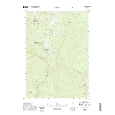 2021 Warren2021 Print · USGSThe Mad River valley and Northfield Mountains appear here in high detail during the early twenty-first century. Genealogists and hikers can trace local history through the Warren Covered Bridge, several upland cemeteries, and the winding path through Roxbury Gap.
 - 2021 Map of Stowe, 2021 Print
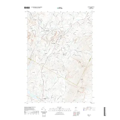 2021 Stowe2021 Print · USGSThe Green Mountains of Vermont are shown here in the early twenty-first century, spanning the diverse terrain between Stowe and the Waterbury Reservoir. Researchers can find old burial grounds like Village Center Cem and trace local landmarks such as the Gold Brook Covered Bridge.
 - 2021 Map of Waitsfield, 2021 Print
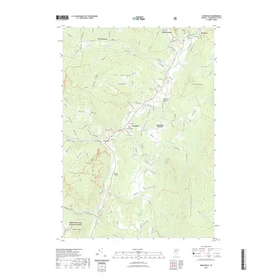 2021 Waitsfield2021 Print · USGSThe Mad River valley of central Vermont is captured here in the early 2020s, showing its characteristic blend of river-bottom villages and high-mountain forest. Researchers can trace local heritage through sites like the Great Eddy Covered Bridge, Wait Cem, and the old Stagecoach Rd.
 - 2024 Map of Roxbury, 2024 Print
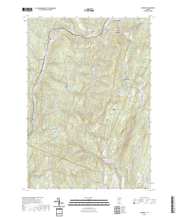 2024 Roxbury2024 Print · USGSRoxbury and the surrounding Green Mountain foothills are captured here at the triple-county junction of Washington, Orange, and Addison. Researchers can trace ancestral roots through several upland burial sites, including Orcutt Cem, Batchellor Spaulding Cem, and the old First Settler Cem.
Showing maps 1-25 of 48
Top cities of Washington County
- Barre historical maps
- Montpelier historical maps
- Northfield historical maps
- Waterbury historical maps
- Berlin historical maps
- East Montpelier historical maps
See more
Frequently asked questions
- What are the different types of historical maps available for Washington County?
- What is the oldest map of Washington County?
- Where can I purchase historical maps of Washington County for my home or office?
- Where can I download high-res historical maps of Washington County?
- Are there historical topographic maps available for Washington County?
- Is there historical aerial imagery available for Washington County?
- Where are historical maps of Washington County sourced from?