2020s Maps of Duxbury, Vermont
Explore 8 historic maps of Duxbury from the 2020s. These maps offer a rare glimpse into what life looked like during the 2020s — showing old roads, neighborhoods, homes, and landmarks that have changed or disappeared over time.
Whether you're researching your family's past, planning a metal detecting trip, or studying how Duxbury's landscape evolved across the 2020s, these high-resolution maps are a powerful tool for exploring the history of this region.
- Focus on a specific era: All maps on this page are from the 2020s, giving you a focused view of this time period.
- See what’s changed: Compare century-old streets, trails, and buildings to today's modern landscape using overlays and satellite layers.
- Research with precision: Use these maps for genealogy, historical research, land use analysis, or educational projects.
- View, download, or print: Maps are fully viewable online in high resolution, and can be downloaded or printed for your own records.
Start exploring Duxbury's history through authentic maps from the 2020s. This is your window into the past.
Duxbury, VT maps
(8)- 2021 Map of Waterbury, 2021 Print
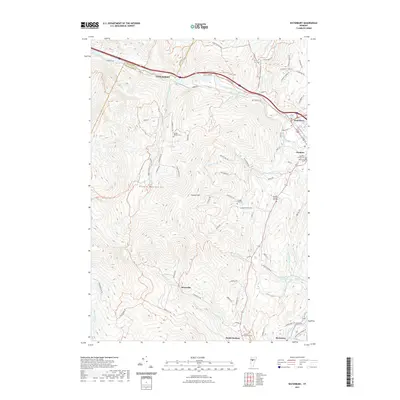 2021 Waterbury2021 Print · USGSCovers Duxbury, including Waterbury, Moretown, and other nearby areas
 - 2021 Map of Middlesex, 2021 Print
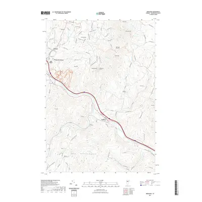 2021 Middlesex2021 Print · USGSCovers Duxbury, including Waterbury, Berlin, and other nearby areas
 - 2021 Map of Huntington, 2021 Print
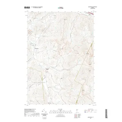 2021 Huntington2021 Print · USGSCovers Duxbury, including Richmond, Huntington, and other nearby areas
 - 2021 Map of Waitsfield, 2021 Print
 2021 Waitsfield2021 Print · USGSCovers Duxbury, including Northfield, Warren, and other nearby areas
 - 2024 Map of Middlesex, 2024 Print
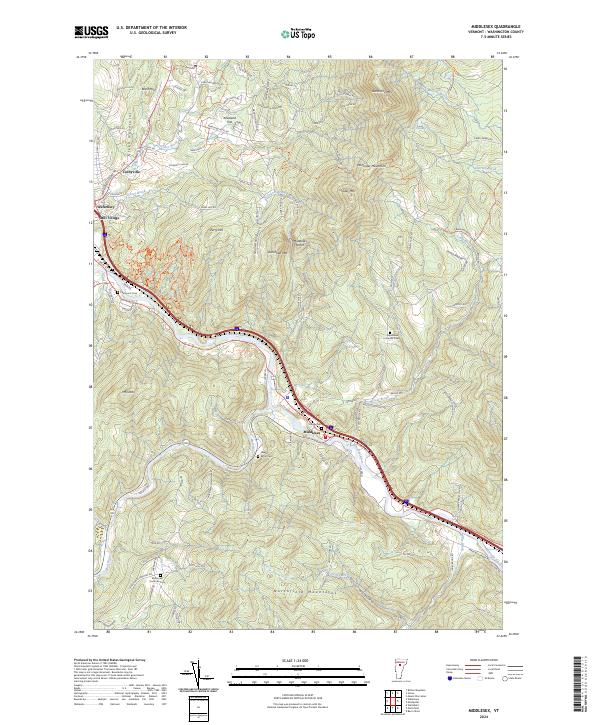 2024 Middlesex2024 Print · USGSThe Winooski River valley and surrounding mountain peaks define this area of Washington County as it appears in the 2020s. Researchers can trace family history through sites like Village Cemetery or explore upland settlements like Kneeland Flat and Colbyville.
 - 2024 Map of Waitsfield, 2024 Print
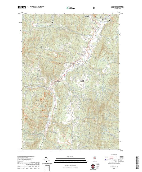 2024 Waitsfield2024 Print · USGSThe Mad River Valley in the modern era remains defined by its historic village centers and mountain topography. Genealogists can locate several family burial grounds including Village Cem and Belding Cem, while tracing the rural road network connecting North Fayston and Waitsfield Common.
 - 2024 Map of Waterbury, 2024 Print
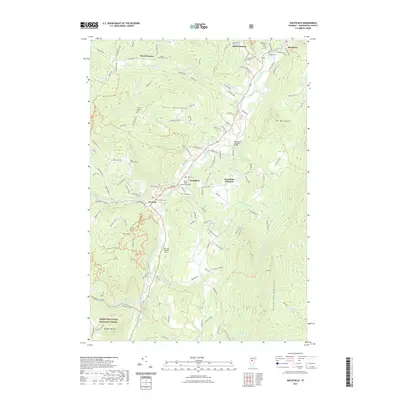
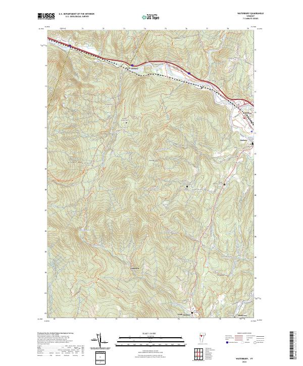 2024 Waterbury2024 Print · USGSThe Winooski River valley and the Green Mountains come together in this recent survey of central Vermont. Researchers can trace historic family burial sites like Landon - Hayden Cem and explore upland settlements including Dowsville and North Duxbury.
 - 2024 Map of Huntington, 2024 Print
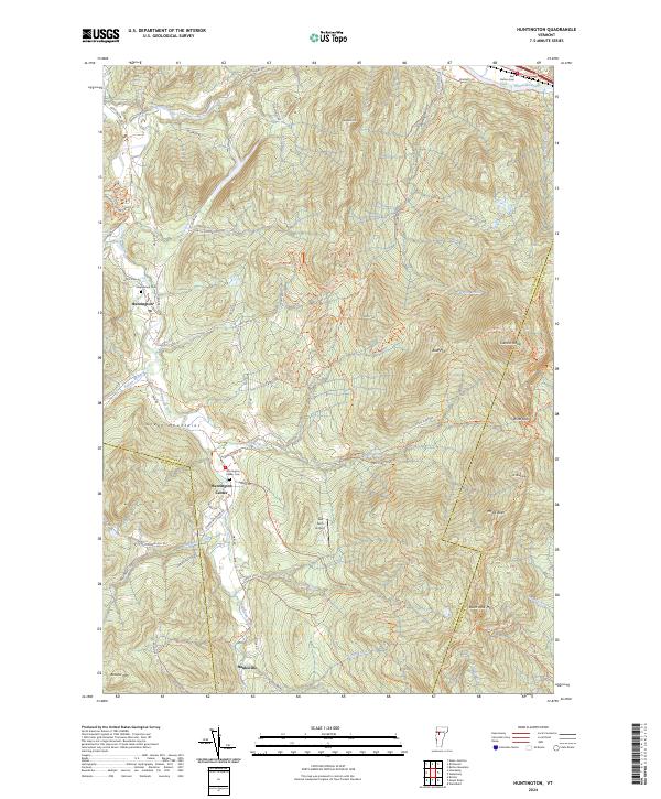 2024 Huntington2024 Print · USGSThe Green Mountains of Chittenden County are showcased in this modern survey, capturing the rugged interior of Vermont. Researchers can trace the heritage of Huntington Center, locate family plots at Maplewood Cem, and follow the historic Long Trl over Camels Hump.
End of results
Showing maps 1-8 of 8
Top cities near Duxbury
- Essex historical maps
- Williston historical maps
- Montpelier historical maps
- Northfield historical maps
- Waterbury historical maps
- Stowe historical maps
See more
Top neighborhoods of Duxbury
Frequently asked questions
- What are the different types of historical maps available for Duxbury?
- What is the oldest map of Duxbury?
- Where can I purchase historical maps of Duxbury for my home or office?
- Where can I download high-res historical maps of Duxbury?
- Are there historical topographic maps available for Duxbury?
- Is there historical aerial imagery available for Duxbury?
- Where are historical maps of Duxbury sourced from?