Old Maps of Wilmington, Vermont
Explore 38 old maps of Wilmington, spanning from 1889 to today. These high-resolution historic maps reveal how streets, neighborhoods, landmarks, and natural features evolved over time — perfect for genealogy, metal detecting, research, and local history exploration.
What you can do with these maps:
- See how Wilmington changed over time: Compare historical maps to modern-day views to trace roads, homesites, rail lines & more.
- View detailed metadata: Each map includes creators, publishers, year, scale, and archive source.
- Overlay maps with satellite & LiDAR: Visualize the past alongside modern tools to explore terrain & human change.
- Trusted historical sources: Maps sourced from the USGS, Library of Congress, and other archives.
- Access maps your way: View online, download high-res files, or order prints for personal or research use.
Start exploring old maps of Wilmington to uncover forgotten places, hidden landmarks, and the deep history beneath your feet.
Wilmington, VT maps
(38)- 1889 Map of Wilmington
 1889 Wilmington1889 Print · USGSSouthern Vermont in the late nineteenth century was a landscape of steep mountain ridges and river-driven commerce. Genealogists can trace family names and small hamlets like Heartwellville, Davis Bridge, and the Hoosac Tunnel and Wilmington R.R.7 unique versions available
 - 1891 Map of Wilmington
 1891 Wilmington1891 Print · USGSSouthern Vermont in the early 1890s was a landscape of mountain hamlets and river-valley industry. You can trace the Hoosac Tunnel and Wilmington R.R. or locate historic settlements like Readsboro Falls, Jacksonville, and West Dover.
 - 1899 Map of Wilmington, 1931 Print
 1899 Wilmington1931 Print · USGSSouthern Vermont's mountain valleys were defined by timber and rail at the turn of the century. You can trace the route of the Hoosac Tunnel and Wilmington R.R. and locate family-named landmarks from Davis Bridge to Heartwellville.3 unique versions available
 - 1943 Map of Brattleboro
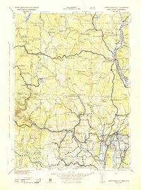 1943 Brattleboro1943 Print · USGSSouthern Vermont and the Massachusetts border area appear in this mid-century survey as a landscape of timbered peaks and river-connected villages. Genealogists can trace family roots through markers like Arms Cem or follow the rails at Dummerston Sta and Putney Sta.
 - 1948 Map of Albany, 1951 Print
 1948 Albany1951 Print · USGSThe Hudson and Connecticut River valleys are captured here in the late 1940s, showing the vital rail and water corridors of the Northeast. You can trace the Boston and Maine tracks past Mt Greylock or locate early settlements like Great Barrington and Bennington.
 - 1954 Map of Wilmington, 1957 Print
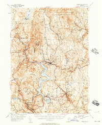 1954 Wilmington1957 Print · USGSSouthern Vermont's Windham County is shown here in the mid-1950s, a landscape defined by industrial water management and rural hamlets. Researchers can trace the Hoosac Tunnel and Wilmington RR and find family names at Riverview Cem or Hathaway Cem.5 unique versions available
 - 1956 Map of Albany, 1968 Print
 1956 Albany1968 Print · USGSThe industrial heart of the Northeast is revealed in the mid-1950s, from the Hudson Valley to the Connecticut River. Researchers can trace the legacy of the Quabbin Reservoir, locate Westover Air Force Base, or follow the Rutland RR through the Green Mountains.2 unique versions available
 - 1957 Map of Albany
 1957 Albany1957 Print · USGSThe Tri-State region and Connecticut River Valley are captured here during a period of significant postwar growth and infrastructure expansion. Genealogists and historians can trace the rail-and-river economy through landmarks like the Boston and Maine railroad, Quabbin Reservoir, and Westover Air Force Base.
 - 1959 Map of Albany
 1959 Albany1959 Print · USGSThe Hudson and Connecticut River valleys are captured here during the late fifties, showing the region's dense rail networks and massive water projects. Researchers can trace the New York State Thruway or locate local landmarks like Mt Greylock and the Quabbin Reservoir.
 - 1962 Map of Albany
 1962 Albany1962 Print · USGSThe Hudson and Connecticut River valleys meet the Green Mountains and Berkshires in this mid-century overview of the Northeast. Genealogists and historians can trace the industrial hearts of Albany and Springfield or locate features like Quabbin Reservoir and Westover Air Force Base.
 - 1986 Map of Keene
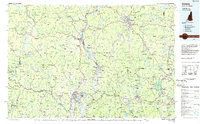 1986 Keene1986 Print · USGSThe tri-state borderlands of the Connecticut River Valley come alive in this mid-eighties survey of southern Vermont, New Hampshire, and Massachusetts. Genealogists and historians can trace rail-era villages like Ashuelot and Millers Falls alongside landmarks like Marlboro College and Monadnock Mountain.3 unique versions available
 - 1986 Map of Mount Snow, 1987 Print
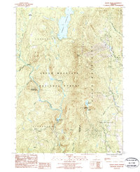 1986 Mount Snow1987 Print · USGSThe Green Mountains in the mid-1980s reveal a landscape of high-altitude reservoirs and developing ski peaks. Genealogists and hikers can trace the remote reaches of Somerset and Searsburg or locate landmarks like Mount Snow and Haystack Pond.
 - 1986 Map of West Dover, 1987 Print
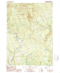 1986 West Dover1987 Print · USGSWindham County's rugged terrain is charted here during the mid-eighties, showing the crossroads of high forest and valley hamlets. Researchers can trace family-named heights like Higley Hill and Stratton Hill or locate old settlements at Goose City and East Dover.
 - 1987 Map of Readsboro
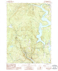 1987 Readsboro1987 Print · USGSThe Green Mountains of Southern Vermont are shown in the late twentieth century as a landscape defined by deep river valleys and hydroelectric power. Genealogists and local historians can trace family-named sites like Jarvis Hill and Castle Hill alongside the villages of Readsboro and Whitingham.2 unique versions available
 - 1987 Map of Jacksonville
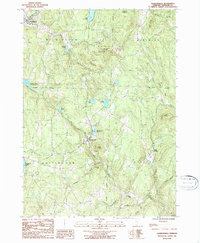 1987 Jacksonville1987 Print · USGSWindham County in the late eighties remains a land of high ridges and deep reservoirs. You can trace family roots through the townships of Wilmington and Halifax or locate landmarks like Molly Stark State Park and Sadawga Lake.2 unique versions available
 - 1997 Map of Mount Snow, 2000 Print
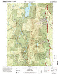 1997 Mount Snow2000 Print · USGSThe Green Mountains of Windham County are shown here in the late nineties, showcasing a landscape of high-elevation recreation and forest management. Researchers can trace the development of the Mount Snow Ski Area, find the quiet site of Somerset, and locate the Searsburg Reservoir along the Deerfield River.
 - 1997 Map of Readsboro, 2000 Print
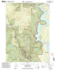 1997 Readsboro2000 Print · USGSSouthern Vermont's river valleys and forested hills are captured here in the late 1990s, centered on the intersection of the Deerfield River and its reservoirs. Researchers can locate family cemeteries, trace the Old Stage Road, or explore the villages of Readsboro and Whitingham.
 - 1997 Map of West Dover, 2000 Print
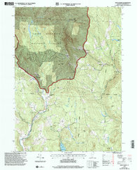 1997 West Dover2000 Print · USGSWindham County at the close of the twentieth century shows a landscape where mountain wilderness and village life intersect. Genealogists and hikers can trace old roads through the Green Mountain National Forest or locate family sites near East Dover, Goose City, and the shores of Lake Raponda.
 - 2012 Map of Readsboro, 2012 Print
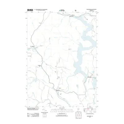 2012 Readsboro2012 Print · USGSWindham County's highlands and the massive Harriman Reservoir are shown in high detail during the early 21st century. Researchers can trace family history through numerous mountain burial grounds like North Hill Cem and Jewell-Wheeler Hill Cem.
 - 2012 Map of Mount Snow, 2012 Print
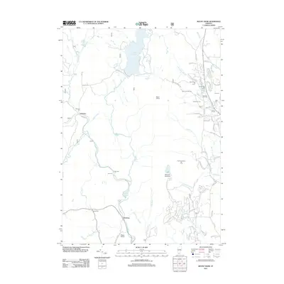 2012 Mount Snow2012 Print · USGSSouthern Vermont's mountain landscape is captured here in the early 2010s as it balances its historic roots with its role as a ski destination. Researchers can find several burial sites like Smead Hill Cem and Eames Cem alongside landmarks such as Somerset Reservoir and Sleepy Hollow.
 - 2012 Map of Jacksonville, 2012 Print
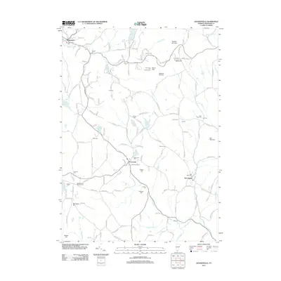 2012 Jacksonville2012 Print · USGSSouthern Vermont's upland villages and mountain ridges are documented here in the early twenty-first century. Genealogists can trace family burial sites like Brigham Young Memorial Cem or Restland Cem, while outdoor history is preserved at Hogback Ski Area.
 - 2012 Map of West Dover, 2012 Print
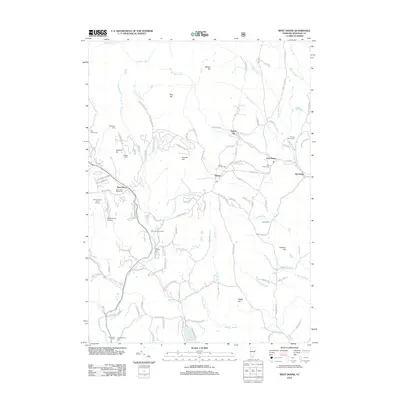 2012 West Dover2012 Print · USGSWindham County's high country is captured here in the early twenty-first century, showing the evolved landscape of the Green Mountain foothills. Genealogists and local historians can trace family plots at Timson Moore Cem or follow the roads to Goose City and Brookside.
 - 2015 Map of West Dover, 2015 Print
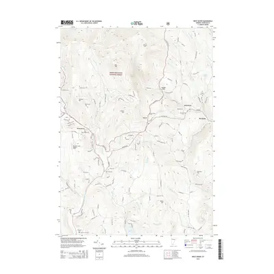 2015 West Dover2015 Print · USGSDover and its surrounding hamlets are mapped here as they appeared in 2015, showing the rugged topography of the Green Mountains. Family historians can trace numerous burial sites including Rice-Snow Cem and Dover Center Cem, alongside landmarks like Lake Raponda.
 - 2015 Map of Jacksonville, 2015 Print
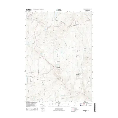 2015 Jacksonville2015 Print · USGSSouthern Vermont's highland townships are mapped here in the modern era, showing the enduring settlement patterns of Windham County. Genealogists can trace family histories at the Brigham Young Memorial Cem, Taylor-Stacy Cem, and Jacksonville Cem.
 - 2015 Map of Mount Snow, 2015 Print
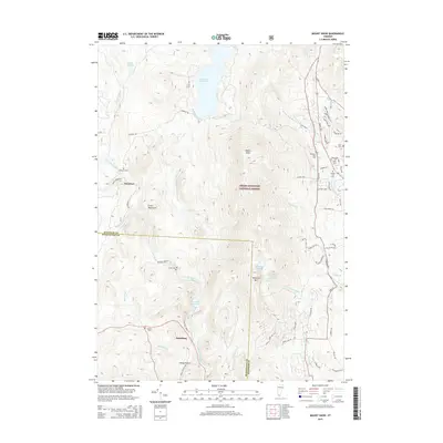 2015 Mount Snow2015 Print · USGSDover and Searsburg are shown here in the mid-2010s, nestled within the expansive Green Mountain National Forest. Genealogists can locate several family burial sites like Eames Cem and Smead Hill Cem near the prominent peaks of Mount Snow and Haystack Mtn.
Showing maps 1-25 of 38
Top cities near Wilmington
- Greenfield historical maps
- North Adams historical maps
- Adams historical maps
- Brattleboro historical maps
- Guilford historical maps
- Dover historical maps
See more
Top neighborhoods of Wilmington
Frequently asked questions
- What are the different types of historical maps available for Wilmington?
- What is the oldest map of Wilmington?
- Where can I purchase historical maps of Wilmington for my home or office?
- Where can I download high-res historical maps of Wilmington?
- Are there historical topographic maps available for Wilmington?
- Is there historical aerial imagery available for Wilmington?
- Where are historical maps of Wilmington sourced from?