Old Maps of Powell Corner, Virginia for Metal Detecting
Plan your next treasure hunt with 16 historic maps of Powell Corner. Find old homesites, ghost towns, trails, and gathering spots that may be lost to time — perfect for identifying promising metal detecting locations.
- Locate forgotten sites: Uncover places like long-lost settlements, abandoned rail lines, or gathering spots.
- Plan better hunts: Use map overlays combined with LiDAR or satellite views to narrow in on historically rich areas.
- Made for detectorists: Thousands of hobbyists use these maps to discover relics, coins, and hidden history.
Use these historic maps to boost your research and find new opportunities beneath the surface of Powell Corner.
Powell Corner, VA maps
(16)- 1892 Map of Buckingham
 1892 Buckingham1892 Print · USGSCentral Virginia in the late nineteenth century was defined by its river-and-rail economy along the James River. Genealogists and historians can trace the foundations of local life through the Kleinburg School, the Soap Stone Quarry, and the Virginia Midland Railroad.7 unique versions available
 - 1929 Map of Covesville
 1929 Covesville1929 Print · USGSAlbemarle County’s soapstone industry and mountain communities are frozen in time just before the Depression. Genealogists and historians can trace family locations near Alberene, old schools like Red Hill Sch, and landmarks including Forest Lodge and Johnson Mill.3 unique versions available
 - 1935 Map of Covesville, 1961 Print
 1935 Covesville1961 Print · USGSMid-century Albemarle County was defined by its soapstone industry and a dense network of country schools and chapels. Genealogists and historians can trace the foundations of local life through landmarks like Albermarle Soapstone Company, Cedar Vale Sch, and the riverside hub of Scottsville.
 - 1945 Map of Covesville
 1945 Covesville1945 Print · USGSAlbemarle County's river valleys and mountain foothills are shown here in the mid-1940s, a period defined by the convergence of rail and river commerce. Genealogists and historians can trace family locations near Alberene, Esmont, and the Mt Zion Ch, or locate old industrial sites like Johnson Mill.
 - 1947 Map of Roanoke, 1948 Print
 1947 Roanoke1948 Print · USGSCentral Virginia in the late 1940s reveals a region defined by its great mountain ridges and the powerful river-and-rail economy connecting Roanoke to Lynchburg. Researchers can trace the path of the Virginian RR and locate historic county seats like Charlotte Court House.2 unique versions available
 - 1959 Map of Roanoke
 1959 Roanoke1959 Print · USGSCentral Virginia and the Blue Ridge appear in great detail during the late fifties, showcasing the transition from mountain industry to Piedmont farmland. Trace the path of the Norfolk and Western railroad or find old river towns like Appomattox and Amelia Court House.
 - 1963 Map of Roanoke
 1963 Roanoke1963 Print · USGSCentral Virginia and the Blue Ridge front appear here in the early sixties, caught between their deep railroad roots and new postwar developments. Genealogists and historians can trace the rail lines of the Norfolk and Western through towns like Bedford and Altavista, or locate family landmarks near Smith Mountain Lake.
 - 1967 Map of Alberene, 1968 Print
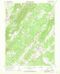 1967 Alberene1968 Print · USGSAlbemarle County's mountain ridges and river valleys are captured here during the late sixties, showcasing a landscape of rural settlements and emerging suburbs. Genealogists can trace family footprints through numerous small cemeteries, local churches like Grace Ch, and landmarks such as Powell Corner and Red Hill.2 unique versions available
 - 1971 Map of Roanoke, 1977 Print
 1971 Roanoke1977 Print · USGSThe Virginia Piedmont and Blue Ridge mountains meet in this early 1970s landscape of river valleys and rail hubs. Researchers can trace historic transportation routes and landmarks like the Appomattox Court House Nat Hist Pk, the Peaks of Otter, and Amelia Court House.2 unique versions available
 - 1979 Map of Dillwyn, 1982 Print
 1979 Dillwyn1982 Print · USGSCentral Virginia in the late seventies is defined by the winding James River and the rural communities of the Piedmont. Trace old transportation corridors and family-named ridges from Dillwyn and Buckingham to the Blue Ridge foothills.
 - 1979 Map of Alberene, 1982 Print
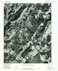 1979 Alberene1982 Print · USGSAlbemarle County appears in photographic detail in the late seventies, showing the rural homesteads and wooded hills of the central Virginia Piedmont. Researchers can trace land use around Alberene, Carters Bridge, and Powell Corner.
 - 2010 Map of Alberene, 2010 Print
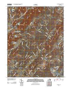 2010 Alberene2010 Print · USGSAlberene and the surrounding foothills of Albemarle County are captured here in the early twenty-first century as the landscape transitioned between historic agriculture and modern residential growth. Genealogists and local historians can locate several rural burial sites, such as Grace Cemetery, and trace historic property boundaries at Estouteville and Enniscorthy.
 - 2013 Map of Alberene, 2013 Print
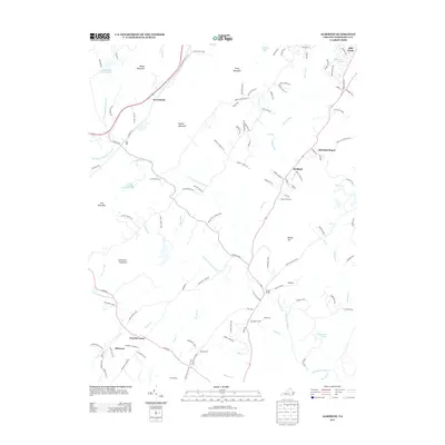 2013 Alberene2013 Print · USGSAlbemarle County's Piedmont landscape is captured here in the early twenty-first century, featuring the historic soapstone region. Trace family roots and local history through landmarks like Estouteville, the community of Alberene, and the crossing at Carters Bridge.
 - 2016 Map of Alberene, 2016 Print
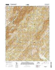 2016 Alberene2016 Print · USGSAlbemarle County's Piedmont landscape remains centered on its historic farms and river forks during the mid-2010s. Researchers can trace ancestral land and rural communities through features like Estouteville Farm, Alberene, and Chestnut Grove Cem.
 - 2019 Map of Alberene, 2019 Print
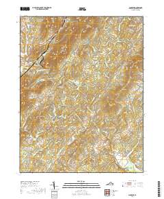 2019 Alberene2019 Print · USGSAlberene and the Piedmont foothills of Albemarle County are captured here during a period of transition between historic agricultural estates and modern rural living. Researchers can trace family-named sites like Estouteville Farm and quiet burial grounds including Mount Olivet Cem.
 - 2022 Map of Alberene, 2022 Print
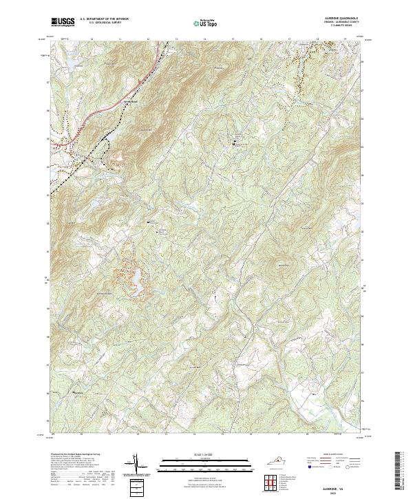 2022 Alberene2022 Print · USGSAlbemarle County's foothills come into focus in this recent survey of the historic soapstone district and the surrounding agricultural estates. Genealogists and historians can locate family landmarks like the Johnson Family Cem, Hardware Baptist Church Cem, and the venerable Estouteville Farm.
End of results
Showing maps 1-16 of 16
Top cities near Powell Corner
- Charlottesville historical maps
- Hollymead historical maps
- University of Virginia historical maps
- Crozet historical maps
- Pantops historical maps
- Rivanna historical maps
See more
Frequently asked questions
- What are the different types of historical maps available for Powell Corner?
- What is the oldest map of Powell Corner?
- Where can I purchase historical maps of Powell Corner for my home or office?
- Where can I download high-res historical maps of Powell Corner?
- Are there historical topographic maps available for Powell Corner?
- Is there historical aerial imagery available for Powell Corner?
- Where are historical maps of Powell Corner sourced from?